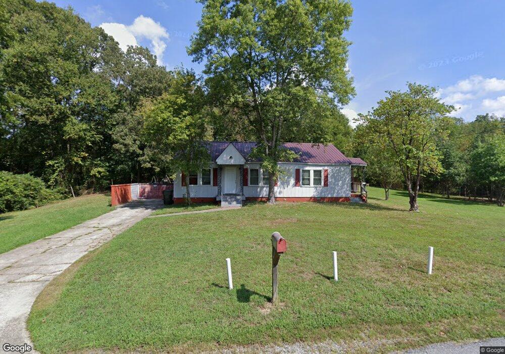
114 Robbins Dr Thomasville, NC 27360
Estimated Value: $139,150 - $167,000
3
Beds
1
Bath
1,776
Sq Ft
$88/Sq Ft
Est. Value
About This Home
This home is located at 114 Robbins Dr, Thomasville, NC 27360 and is currently estimated at $155,538, approximately $87 per square foot. 114 Robbins Dr is a home located in Davidson County with nearby schools including Thomasville Primary School, Liberty Drive Elementary School, and Thomasville Middle School.
Ownership History
Date
Name
Owned For
Owner Type
Purchase Details
Closed on
Aug 30, 2021
Sold by
Hill Nathan R
Bought by
Solis Luminosa Ledezma and Anaya Gerardo Montes
Current Estimated Value
Home Financials for this Owner
Home Financials are based on the most recent Mortgage that was taken out on this home.
Original Mortgage
$49,500
Outstanding Balance
$10,461
Interest Rate
2.8%
Mortgage Type
Seller Take Back
Estimated Equity
$145,077
Purchase Details
Closed on
Nov 17, 2014
Sold by
Hill Gladys B
Bought by
Hill Nathan R
Purchase Details
Closed on
Dec 1, 1994
Purchase Details
Closed on
Jun 1, 1992
Create a Home Valuation Report for This Property
The Home Valuation Report is an in-depth analysis detailing your home's value as well as a comparison with similar homes in the area
Home Values in the Area
Average Home Value in this Area
Purchase History
| Date | Buyer | Sale Price | Title Company |
|---|---|---|---|
| Solis Luminosa Ledezma | $55,000 | None Available | |
| Hill Nathan R | -- | Chicago Title Insurance Co | |
| -- | -- | -- | |
| -- | -- | -- |
Source: Public Records
Mortgage History
| Date | Status | Borrower | Loan Amount |
|---|---|---|---|
| Open | Solis Luminosa Ledezma | $49,500 |
Source: Public Records
Tax History Compared to Growth
Tax History
| Year | Tax Paid | Tax Assessment Tax Assessment Total Assessment is a certain percentage of the fair market value that is determined by local assessors to be the total taxable value of land and additions on the property. | Land | Improvement |
|---|---|---|---|---|
| 2025 | $1,106 | $82,870 | $0 | $0 |
| 2024 | $953 | $71,420 | $0 | $0 |
| 2023 | $968 | $71,420 | $0 | $0 |
| 2022 | $953 | $71,420 | $0 | $0 |
| 2021 | $957 | $71,420 | $0 | $0 |
| 2020 | $559 | $42,530 | $0 | $0 |
| 2019 | $570 | $42,530 | $0 | $0 |
| 2018 | $524 | $39,080 | $0 | $0 |
| 2017 | $516 | $39,080 | $0 | $0 |
| 2016 | $500 | $39,080 | $0 | $0 |
| 2015 | $500 | $39,080 | $0 | $0 |
| 2014 | $539 | $42,100 | $0 | $0 |
Source: Public Records
Map
Nearby Homes
- 106 Kincemac Dr
- 307 Fisher Ferry St
- 0 Smith Dr
- 122 S Old Fisher Ferry Rd
- 1 Westwood Ave
- 708 Ferndale Dr
- 223 S Westwood Ave
- 512 Concord St
- 217 Moon St
- 6 Curtis Ct
- 14 Welloski Dr
- 415 Spring St
- 109 Fletcher's Farm Dr
- 107 Fletcher's Farm Dr
- 1020 Johnsontown Rd
- 296 Fairgrove Rd
- 73 Harris Farm Ct
- 316 Spring St
- 305 Spring St
- 314 Spring St
- 113 Robbins Dr
- 12 Hart St
- 111 Robbins Dr
- 102 Robbins Dr
- 100 Robbins Dr
- 105 Robbins Dr
- 1027 W Holly Hill Rd
- Lots 108-112 Hart St
- 101 Robbins Dr
- 114 Goforth Dr
- 208 Koontz Ave
- 204 Koontz Ave
- 106 Goforth Dr
- Lots 120-126 Hart St
- 202 Koontz Ave
- 202 Goforth Dr
- 210 Koontz Ave
- 10 Hart St
- 104 Goforth Dr
- 204 Goforth Dr