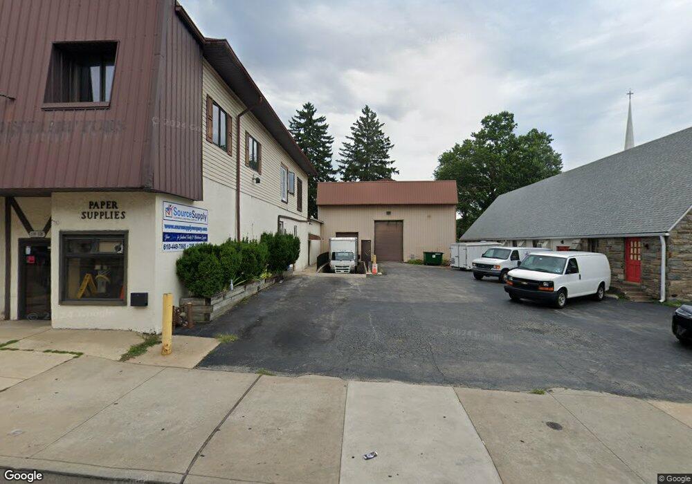
114 S State Rd Upper Darby, PA 19082
Estimated Value: $473,642
--
Bed
--
Bath
7,000
Sq Ft
$68/Sq Ft
Est. Value
About This Home
This home is located at 114 S State Rd, Upper Darby, PA 19082 and is currently estimated at $473,642, approximately $67 per square foot. 114 S State Rd is a home located in Delaware County with nearby schools including Drexel Hill Middle School, Upper Darby High School, and St. Laurence's School.
Ownership History
Date
Name
Owned For
Owner Type
Purchase Details
Closed on
Sep 10, 2020
Sold by
Dd & T Properties Llc
Bought by
Sharkbait Properties Llc
Current Estimated Value
Home Financials for this Owner
Home Financials are based on the most recent Mortgage that was taken out on this home.
Original Mortgage
$190,000
Interest Rate
2.8%
Mortgage Type
Purchase Money Mortgage
Purchase Details
Closed on
Jul 21, 2016
Sold by
Hickey Geraldine
Bought by
Dd & T Properties Llc
Home Financials for this Owner
Home Financials are based on the most recent Mortgage that was taken out on this home.
Original Mortgage
$275,220
Interest Rate
3.54%
Mortgage Type
Seller Take Back
Purchase Details
Closed on
Nov 10, 1981
Sold by
Elevator Sales Ser Inc
Bought by
Hickey James B
Create a Home Valuation Report for This Property
The Home Valuation Report is an in-depth analysis detailing your home's value as well as a comparison with similar homes in the area
Home Values in the Area
Average Home Value in this Area
Purchase History
| Date | Buyer | Sale Price | Title Company |
|---|---|---|---|
| Sharkbait Properties Llc | $310,000 | Mutual Abstract Company | |
| Dd & T Properties Llc | $275,220 | Attorney | |
| Hickey James B | $150,000 | -- |
Source: Public Records
Mortgage History
| Date | Status | Borrower | Loan Amount |
|---|---|---|---|
| Open | Sharkbait Properties Llc | $152,000 | |
| Previous Owner | Sharkbait Properties Llc | $190,000 | |
| Previous Owner | Dd & T Properties Llc | $275,220 |
Source: Public Records
Tax History Compared to Growth
Tax History
| Year | Tax Paid | Tax Assessment Tax Assessment Total Assessment is a certain percentage of the fair market value that is determined by local assessors to be the total taxable value of land and additions on the property. | Land | Improvement |
|---|---|---|---|---|
| 2025 | $11,131 | $263,200 | $70,000 | $193,200 |
| 2024 | $11,131 | $263,200 | $70,000 | $193,200 |
| 2023 | $24,164 | $576,810 | $77,370 | $499,440 |
| 2022 | $23,514 | $576,810 | $77,370 | $499,440 |
| 2021 | $31,706 | $576,810 | $77,370 | $499,440 |
| 2020 | $19,507 | $301,570 | $85,970 | $215,600 |
| 2019 | $19,165 | $301,570 | $85,970 | $215,600 |
| 2018 | $18,944 | $301,570 | $0 | $0 |
| 2017 | $18,452 | $301,570 | $0 | $0 |
| 2016 | $1,655 | $301,570 | $0 | $0 |
| 2015 | $1,689 | $301,570 | $0 | $0 |
| 2014 | $1,689 | $301,570 | $0 | $0 |
Source: Public Records
Map
Nearby Homes
- 7226 Penarth Ave
- 7920 W Chester Pike
- 11 S Cedar Ln
- 46 S State Rd
- 8125 W Chester Pike Unit A4
- 25 N Pennock Ave
- 241 S Cedar Ln
- 105 N Fairview Ave
- 7819 Westview Ave
- 207 Berbro Ave
- 7823 Arlington Ave
- 7409 Miller Ave
- 105 Academy Ln
- 9 Berbro Ave
- 7011 Hazel Ave
- 7419 W Chester Pike
- 201 Saint Laurence Rd
- 171 N Carol Blvd
- 18 Elm Ave
- 217 Windsor Ave
- 119 S Pennock Ave
- 115 S Pennock Ave
- 7748 Hazel Ave
- 123 S Pennock Ave
- 130 S State Rd
- 109 S Pennock Ave
- 7756 Hazel Ave
- 100 S State Rd
- 125 S Pennock Ave
- 105 S Pennock Ave
- 101-119 S State Rd
- 101 S State Rd
- 131 S Pennock Ave
- 121 S State Rd
- 101 S Pennock Ave
- 123 S State Rd
- 7243 Hilltop Rd
- 7236 Hilltop Rd
- 135 S Pennock Ave
- 127 S State Rd