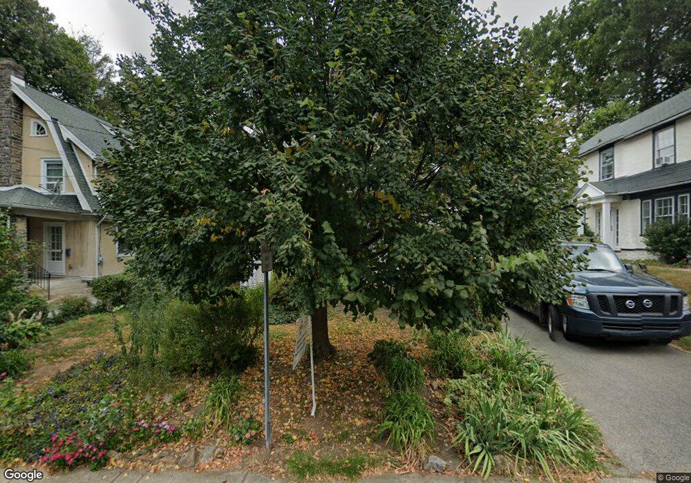
114 Saint Pauls Rd Ardmore, PA 19003
Estimated Value: $584,647 - $720,000
3
Beds
2
Baths
1,789
Sq Ft
$371/Sq Ft
Est. Value
About This Home
This home is located at 114 Saint Pauls Rd, Ardmore, PA 19003 and is currently estimated at $663,412, approximately $370 per square foot. 114 Saint Pauls Rd is a home located in Montgomery County with nearby schools including Penn Valley School, Welsh Valley Middle School, and Lower Merion High School.
Ownership History
Date
Name
Owned For
Owner Type
Purchase Details
Closed on
Oct 22, 2020
Sold by
Wolf Jean K
Bought by
Wolf Jean K
Current Estimated Value
Home Financials for this Owner
Home Financials are based on the most recent Mortgage that was taken out on this home.
Original Mortgage
$358,500
Outstanding Balance
$318,285
Interest Rate
2.8%
Mortgage Type
New Conventional
Estimated Equity
$345,127
Purchase Details
Closed on
May 2, 1973
Bought by
Wolf Eugene K and Wolf Jean K
Create a Home Valuation Report for This Property
The Home Valuation Report is an in-depth analysis detailing your home's value as well as a comparison with similar homes in the area
Home Values in the Area
Average Home Value in this Area
Purchase History
| Date | Buyer | Sale Price | Title Company |
|---|---|---|---|
| Wolf Jean K | -- | None Available | |
| Wolf Eugene K | $34,500 | -- |
Source: Public Records
Mortgage History
| Date | Status | Borrower | Loan Amount |
|---|---|---|---|
| Open | Wolf Jean K | $358,500 |
Source: Public Records
Tax History Compared to Growth
Tax History
| Year | Tax Paid | Tax Assessment Tax Assessment Total Assessment is a certain percentage of the fair market value that is determined by local assessors to be the total taxable value of land and additions on the property. | Land | Improvement |
|---|---|---|---|---|
| 2025 | $5,945 | $142,340 | $28,310 | $114,030 |
| 2024 | $5,945 | $142,340 | $28,310 | $114,030 |
| 2023 | $5,697 | $142,340 | $28,310 | $114,030 |
| 2022 | $5,591 | $142,340 | $28,310 | $114,030 |
| 2021 | $5,464 | $142,340 | $28,310 | $114,030 |
| 2020 | $5,330 | $142,340 | $28,310 | $114,030 |
| 2019 | $5,236 | $142,340 | $28,310 | $114,030 |
| 2018 | $5,236 | $142,340 | $28,310 | $114,030 |
| 2017 | $5,044 | $142,340 | $28,310 | $114,030 |
| 2016 | $4,988 | $142,340 | $28,310 | $114,030 |
| 2015 | $4,651 | $142,340 | $28,310 | $114,030 |
| 2014 | $4,651 | $142,340 | $28,310 | $114,030 |
Source: Public Records
Map
Nearby Homes
- 140 Walnut Ave
- 14 Simpson Rd
- 64 E Spring Ave
- 101 Grandview Rd
- 222 Lippincott Ave
- 221 Ardmore Ave
- 818 Clifford Ave
- 1968 W Montgomery Ave
- 2814 Saint Marys Rd
- 1525 W Wynnewood Rd
- 383 Lakeside Rd Unit G2
- 383 Lakeside Rd Unit 105
- 761 Hathaway Ln
- 754 Oak View Rd
- 1219 W Wynnewood Rd Unit 311
- 103 W Montgomery Ave Unit 1A
- 264 W Montgomery Ave Unit 304
- 2939 Berkley Rd
- 222 E Montgomery Ave Unit 304
- 442 E Spring Ave
- 116 Saint Pauls Rd
- 112 Saint Pauls Rd
- 118 Saint Pauls Rd
- 110 Saint Pauls Rd
- 115 Simpson Rd
- 111 Simpson Rd
- 117 Simpson Rd
- 120 Saint Pauls Rd
- 109 Simpson Rd
- 115 Saint Pauls Rd
- 117 Saint Pauls Rd
- 113 Saint Pauls Rd
- 108 Saint Pauls Rd
- 119 Simpson Rd
- 119 Saint Pauls Rd
- 111 Saint Pauls Rd
- 107 Simpson Rd
- 125 Saint Pauls Rd
- 106 Saint Pauls Rd Unit 656
- 109 Saint Pauls Rd