114 Shady Ln Toccoa, GA 30577
Estimated Value: $155,000 - $285,000
3
Beds
2
Baths
1,497
Sq Ft
$152/Sq Ft
Est. Value
About This Home
This home is located at 114 Shady Ln, Toccoa, GA 30577 and is currently estimated at $227,849, approximately $152 per square foot. 114 Shady Ln is a home located in Stephens County with nearby schools including Stephens County High School.
Ownership History
Date
Name
Owned For
Owner Type
Purchase Details
Closed on
Jun 5, 2023
Sold by
Ford Christina M
Bought by
Watson Jacob and Watson Lauren E
Current Estimated Value
Home Financials for this Owner
Home Financials are based on the most recent Mortgage that was taken out on this home.
Original Mortgage
$116,500
Outstanding Balance
$108,973
Interest Rate
6.39%
Mortgage Type
Mortgage Modification
Estimated Equity
$118,876
Purchase Details
Closed on
Jan 16, 2009
Sold by
Sorrells Brenda P
Bought by
Ford Christina M
Purchase Details
Closed on
Jan 3, 1997
Bought by
<Buyer Info Not Present>
Create a Home Valuation Report for This Property
The Home Valuation Report is an in-depth analysis detailing your home's value as well as a comparison with similar homes in the area
Purchase History
| Date | Buyer | Sale Price | Title Company |
|---|---|---|---|
| Watson Jacob | $129,500 | -- | |
| Ford Christina M | -- | -- | |
| <Buyer Info Not Present> | -- | -- |
Source: Public Records
Mortgage History
| Date | Status | Borrower | Loan Amount |
|---|---|---|---|
| Open | Watson Jacob | $116,500 |
Source: Public Records
Tax History
| Year | Tax Paid | Tax Assessment Tax Assessment Total Assessment is a certain percentage of the fair market value that is determined by local assessors to be the total taxable value of land and additions on the property. | Land | Improvement |
|---|---|---|---|---|
| 2025 | $1,935 | $93,894 | $7,203 | $86,691 |
| 2024 | $1,457 | $62,805 | $7,203 | $55,602 |
| 2023 | $1,687 | $58,655 | $7,203 | $51,452 |
| 2022 | $1,608 | $56,002 | $7,203 | $48,799 |
| 2021 | $1,566 | $52,094 | $7,203 | $44,891 |
| 2020 | $1,563 | $51,484 | $7,203 | $44,281 |
| 2019 | $1,569 | $51,484 | $7,203 | $44,281 |
| 2018 | $1,569 | $51,484 | $7,203 | $44,281 |
| 2017 | $1,594 | $51,484 | $7,203 | $44,281 |
| 2016 | $1,569 | $51,484 | $7,203 | $44,281 |
| 2015 | $1,638 | $51,323 | $7,203 | $44,120 |
| 2014 | $1,665 | $51,323 | $7,203 | $44,120 |
| 2013 | -- | $51,323 | $7,203 | $44,120 |
Source: Public Records
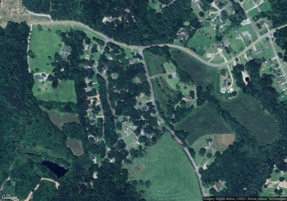
Map
Nearby Homes
- 545 Shady Ln
- 337 Rock Creek Rd
- 28 Memorial Dr
- 3877 Georgia 17
- 0 Brookhaven Cir Unit 10616964
- 5.10 ACRES Hwy 123
- 535 Deer Chase
- Lot 21 Deer Chase
- 551 P S Rd
- 304 Beaver Brook Dr
- 156 White Pine Rd
- 00 Memorial Dr
- 104-110 White Pine Rd
- 668 Brookdale Rd
- 00 Meadowbrook Dr
- 321 Quail Forest Cir
- 1292 Fernside Dr
- 43 Sycamore Dr
- 81 Boulder Dr
- 46 Cedar Ridge Dr
- 114 Shady Ln
- 69 Shady Ln
- 75 Stonewood Dr
- 74 Shady Ln Unit 29
- 74 Shady Ln
- 114 Stonewood Ct
- 45 Stonewood Dr
- 121 Stonewood Dr
- 112 Stonewood Ct
- 85 Stonewood Ct
- 21 Stonewood Dr
- 162 Shady Ln
- 138 Stonewood Forest Unit 108
- 908 Rock Creek Rd
- 108 Stonewood Ct
- 151 Shady Ln
- 98 Stonewood Ct
- 13 Stonewood Dr
- 142 Stonewood Forest
- 170 Stonewood Forest Rd
Your Personal Tour Guide
Ask me questions while you tour the home.