114 Shark St Moyock, NC 27958
Estimated Value: $362,369 - $381,000
4
Beds
2
Baths
1,632
Sq Ft
$226/Sq Ft
Est. Value
About This Home
This home is located at 114 Shark St, Moyock, NC 27958 and is currently estimated at $369,456, approximately $226 per square foot. 114 Shark St is a home located in Currituck County with nearby schools including Shawboro Elementary School, Moyock Middle School, and Currituck County High School.
Ownership History
Date
Name
Owned For
Owner Type
Purchase Details
Closed on
May 31, 2016
Sold by
Griffith Darlene F
Bought by
Farmer Ryan D and Farmer Lisa M
Current Estimated Value
Home Financials for this Owner
Home Financials are based on the most recent Mortgage that was taken out on this home.
Original Mortgage
$179,685
Outstanding Balance
$141,507
Interest Rate
3.5%
Mortgage Type
FHA
Estimated Equity
$227,949
Purchase Details
Closed on
Mar 23, 2004
Bought by
Griffith Darlene Frances
Create a Home Valuation Report for This Property
The Home Valuation Report is an in-depth analysis detailing your home's value as well as a comparison with similar homes in the area
Home Values in the Area
Average Home Value in this Area
Purchase History
| Date | Buyer | Sale Price | Title Company |
|---|---|---|---|
| Farmer Ryan D | $183,000 | Attorney | |
| Griffith Darlene Frances | -- | -- |
Source: Public Records
Mortgage History
| Date | Status | Borrower | Loan Amount |
|---|---|---|---|
| Open | Farmer Ryan D | $179,685 |
Source: Public Records
Tax History
| Year | Tax Paid | Tax Assessment Tax Assessment Total Assessment is a certain percentage of the fair market value that is determined by local assessors to be the total taxable value of land and additions on the property. | Land | Improvement |
|---|---|---|---|---|
| 2025 | $1,892 | $255,600 | $73,900 | $181,700 |
| 2024 | $1,892 | $255,600 | $73,900 | $181,700 |
| 2023 | $1,896 | $255,600 | $73,900 | $181,700 |
| 2022 | $1,463 | $255,600 | $73,900 | $181,700 |
| 2021 | $1,455 | $188,300 | $53,000 | $135,300 |
| 2020 | $1,115 | $188,300 | $53,000 | $135,300 |
| 2019 | $1,076 | $188,300 | $53,000 | $135,300 |
| 2018 | $1,063 | $188,300 | $53,000 | $135,300 |
| 2017 | $1,027 | $188,300 | $53,000 | $135,300 |
| 2016 | $1,027 | $188,300 | $53,000 | $135,300 |
| 2015 | $1,027 | $188,300 | $53,000 | $135,300 |
Source: Public Records
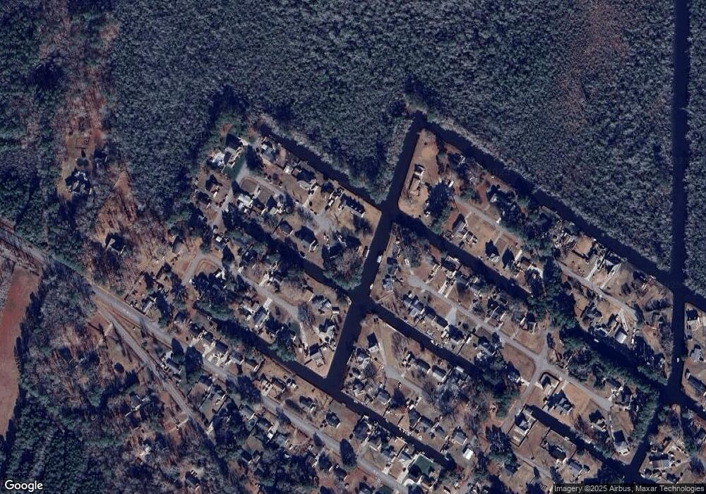
Map
Nearby Homes
- 119 Barracuda St
- 105 Barracuda St
- 105 Barracuda St Unit lot 49
- 100 Barracuda St
- 1079 Tulls Creek Rd
- 108 Rosedale Ct
- 111 Rosedale Ct Unit Lot 9
- 111 Rosedale Ct
- 105 Ashbee Ct
- 104 Briton Way Unit Lot 64
- 104 Briton Way
- 201 Farmstead Loop
- 105 Farmridge Way Unit Lot 153
- 107 Farmridge Way
- 203 Farmstead Loop
- 101 Chickadee St Unit Lot6
- 101 Chickadee St
- 128 Gables Place
- 401 Guinea Rd
- 101 Avocet Path
- 112 Shark St
- 111 Shark St
- 120 Croaker St
- 108 Shark St
- 119 Croaker St
- 109 Shark St
- 115 Porpoise St
- 113 Porpoise St
- 107 Shark St
- 109 Porpoise St
- 114 Croaker St Unit 8
- 114 Croaker St
- 115 Barracuda St
- 104 Shark St
- 116 Porpoise St
- 115 Croaker St
- 107 Porpoise St
- 116 Pike St
- 113 Barracuda St
- 112 Croaker St
Your Personal Tour Guide
Ask me questions while you tour the home.