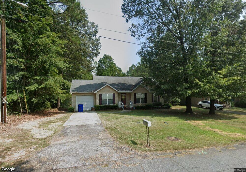
114 State Road S-24-575 Ninety Six, SC 29666
Estimated Value: $180,000 - $204,750
3
Beds
2
Baths
1,341
Sq Ft
$143/Sq Ft
Est. Value
About This Home
This home is located at 114 State Road S-24-575, Ninety Six, SC 29666 and is currently estimated at $191,688, approximately $142 per square foot. 114 State Road S-24-575 is a home located in Greenwood County with nearby schools including Ninety Six Primary School, Ninety Six Elementary School, and Edgewood Middle School.
Ownership History
Date
Name
Owned For
Owner Type
Purchase Details
Closed on
Sep 15, 2008
Sold by
Canway Barry D and Conway Tammy D
Bought by
Anderson Reggie Oneal and Anderson Krystal L
Current Estimated Value
Home Financials for this Owner
Home Financials are based on the most recent Mortgage that was taken out on this home.
Original Mortgage
$124,545
Outstanding Balance
$82,681
Interest Rate
6.48%
Mortgage Type
FHA
Estimated Equity
$109,007
Purchase Details
Closed on
Jan 12, 2005
Sold by
Three F Company
Bought by
Conway Barry D and Conway Tammy B
Create a Home Valuation Report for This Property
The Home Valuation Report is an in-depth analysis detailing your home's value as well as a comparison with similar homes in the area
Home Values in the Area
Average Home Value in this Area
Purchase History
| Date | Buyer | Sale Price | Title Company |
|---|---|---|---|
| Anderson Reggie Oneal | $126,500 | -- | |
| Conway Barry D | $1,500 | -- |
Source: Public Records
Mortgage History
| Date | Status | Borrower | Loan Amount |
|---|---|---|---|
| Open | Anderson Reggie Oneal | $124,545 |
Source: Public Records
Tax History Compared to Growth
Tax History
| Year | Tax Paid | Tax Assessment Tax Assessment Total Assessment is a certain percentage of the fair market value that is determined by local assessors to be the total taxable value of land and additions on the property. | Land | Improvement |
|---|---|---|---|---|
| 2024 | $1,483 | $4,360 | $0 | $0 |
| 2023 | $1,483 | $4,360 | $0 | $0 |
| 2022 | $1,404 | $4,360 | $0 | $0 |
| 2021 | $1,333 | $4,360 | $0 | $0 |
| 2020 | $1,328 | $4,360 | $0 | $0 |
| 2019 | $1,324 | $4,360 | $0 | $0 |
| 2018 | $1,314 | $109,100 | $5,000 | $104,100 |
| 2017 | $1,184 | $109,100 | $5,000 | $104,100 |
| 2016 | $1,182 | $109,100 | $5,000 | $104,100 |
| 2015 | $1,180 | $109,100 | $5,000 | $104,100 |
| 2014 | -- | $4,360 | $0 | $0 |
| 2010 | -- | $119,800 | $2,500 | $117,300 |
Source: Public Records
Map
Nearby Homes
- 406 N Church St
- 118 118 West Main St Ninety Six
- 214 Lowell St
- 203 Allis Ave
- 107 Gervais St
- 431 S Cambridge St
- 322 Poplar Hill Rd
- 203 Ramp Rd
- 133 Gunnery Ct W
- 335 Arsenal Dr
- 306 Links Crossing S
- 320 Arsenal Dr
- 122 Gunnery Ct W
- 116 W Gunnery Ct
- 246 Arsenal Dr
- 304 Links Crossing S
- 234 Arsenal Dr
- 232 Arsenal Dr
- 104 Gunnery Ct E
- 242 Gardenia Dr