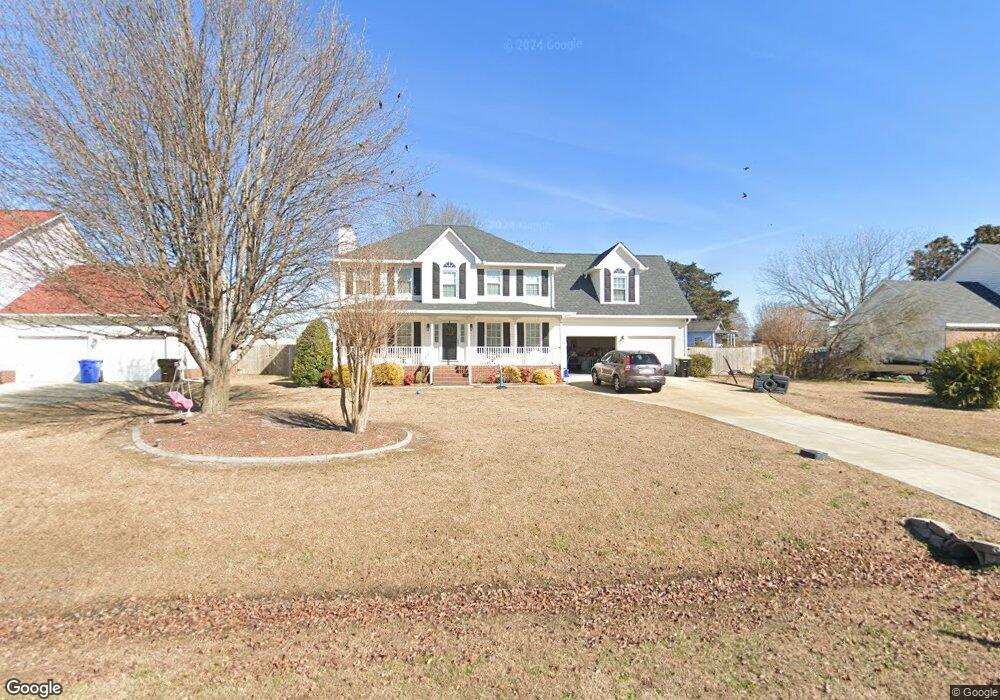
114 Stockton Dr Angier, NC 27501
Estimated Value: $341,000 - $369,000
3
Beds
3
Baths
2,182
Sq Ft
$160/Sq Ft
Est. Value
About This Home
This home is located at 114 Stockton Dr, Angier, NC 27501 and is currently estimated at $348,610, approximately $159 per square foot. 114 Stockton Dr is a home located in Harnett County with nearby schools including Angier Elementary School, North Harnett Primary School, and Harnett Central Middle School.
Ownership History
Date
Name
Owned For
Owner Type
Purchase Details
Closed on
Mar 18, 2020
Sold by
Seeley Ronda A and Seeley Michael P
Bought by
Johnson Austin Hearn and Johnson Matthew Brooke
Current Estimated Value
Home Financials for this Owner
Home Financials are based on the most recent Mortgage that was taken out on this home.
Original Mortgage
$230,000
Outstanding Balance
$203,309
Interest Rate
3.4%
Mortgage Type
VA
Estimated Equity
$145,301
Purchase Details
Closed on
Nov 30, 2000
Bought by
Seeley Michael P
Create a Home Valuation Report for This Property
The Home Valuation Report is an in-depth analysis detailing your home's value as well as a comparison with similar homes in the area
Home Values in the Area
Average Home Value in this Area
Purchase History
| Date | Buyer | Sale Price | Title Company |
|---|---|---|---|
| Johnson Austin Hearn | $230,000 | None Available | |
| Seeley Michael P | $164,000 | -- |
Source: Public Records
Mortgage History
| Date | Status | Borrower | Loan Amount |
|---|---|---|---|
| Open | Johnson Austin Hearn | $230,000 |
Source: Public Records
Tax History Compared to Growth
Tax History
| Year | Tax Paid | Tax Assessment Tax Assessment Total Assessment is a certain percentage of the fair market value that is determined by local assessors to be the total taxable value of land and additions on the property. | Land | Improvement |
|---|---|---|---|---|
| 2025 | $1,609 | $225,502 | $0 | $0 |
| 2024 | $1,609 | $225,502 | $0 | $0 |
| 2023 | $1,587 | $225,502 | $0 | $0 |
| 2022 | $1,610 | $225,502 | $0 | $0 |
| 2021 | $1,610 | $186,030 | $0 | $0 |
| 2020 | $1,610 | $186,030 | $0 | $0 |
| 2019 | $1,595 | $186,030 | $0 | $0 |
| 2018 | $1,595 | $186,030 | $0 | $0 |
| 2017 | $1,595 | $186,030 | $0 | $0 |
| 2016 | $1,490 | $173,130 | $0 | $0 |
| 2015 | $1,490 | $173,130 | $0 | $0 |
| 2014 | $1,490 | $173,130 | $0 | $0 |
Source: Public Records
Map
Nearby Homes
- 33 Stone Apairy Dr
- 78 Stone Apairy Dr
- 8110 Nc 210 N
- 196 Ethel Ln
- 213 Honeydew Dr
- 114 Honeydew Dr
- 46 Sweet Meadow Rd
- BELHAVEN Plan at Honeycutt Oaks
- MITCHELL Plan at Honeycutt Oaks - The Townes
- WILMINGTON Plan at Honeycutt Oaks
- HAYDEN Plan at Honeycutt Oaks
- CALI Plan at Honeycutt Oaks
- DARWIN Plan at Honeycutt Oaks
- FREEPORT - TRADITION Plan at Honeycutt Oaks
- ALTAMONT Plan at Honeycutt Oaks - The Townes
- COLUMBIA Plan at Honeycutt Oaks
- GALEN Plan at Honeycutt Oaks
- 73 Stone Apairy Dr
- 100 Stone Apairy Dr
- 78 Stone Apiary Dr
- 128 Stockton Dr
- 88 Stockton Dr
- 109 Stockton Dr
- 107 Stockton Dr
- 72 Stockton Dr
- 148 Stockton Dr
- LOT 26 Stockton Dr
- 141 Stockton Dr
- 35 Kings Way
- 50 Stockton Dr
- 160 Stockton Dr
- 155 Stockton Dr
- 53 Kings Way
- 40 Kings Way
- 30 Stockton Dr
- 37 Stockton Dr
- 8119 Nc 210 N
- 53 Kings Way Unit 2
- 8119 N Carolina 210
- 12 Queens Ct