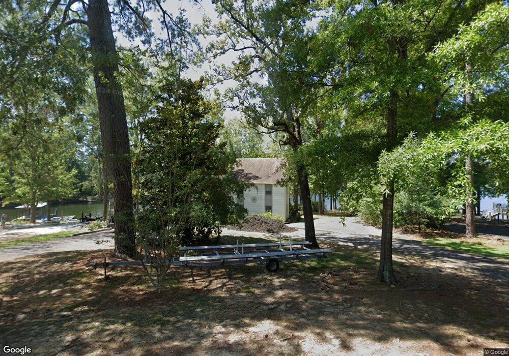
114 Surfside Cir Ninety Six, SC 29666
Estimated Value: $492,000 - $702,000
4
Beds
4
Baths
2,092
Sq Ft
$285/Sq Ft
Est. Value
About This Home
This home is located at 114 Surfside Cir, Ninety Six, SC 29666 and is currently estimated at $595,677, approximately $284 per square foot. 114 Surfside Cir is a home located in Greenwood County with nearby schools including Ninety Six Primary School, Ninety Six Elementary School, and Edgewood Middle School.
Ownership History
Date
Name
Owned For
Owner Type
Purchase Details
Closed on
Nov 28, 2023
Sold by
Latham Dorothy T
Bought by
Latham Terry L and Latham Christopher A
Current Estimated Value
Purchase Details
Closed on
Feb 21, 2011
Sold by
Blackmon Allen N and Blackmon Donald L
Bought by
Latham Jerry T and Latham Dorothy T
Purchase Details
Closed on
Apr 10, 2006
Sold by
Bush Carol
Bought by
Blackmon Janette D and Darmer Janette H
Create a Home Valuation Report for This Property
The Home Valuation Report is an in-depth analysis detailing your home's value as well as a comparison with similar homes in the area
Home Values in the Area
Average Home Value in this Area
Purchase History
| Date | Buyer | Sale Price | Title Company |
|---|---|---|---|
| Latham Terry L | -- | None Listed On Document | |
| Latham Terry L | -- | None Listed On Document | |
| Latham Jerry T | $325,000 | -- | |
| Blackmon Janette D | $10,000 | -- |
Source: Public Records
Tax History Compared to Growth
Tax History
| Year | Tax Paid | Tax Assessment Tax Assessment Total Assessment is a certain percentage of the fair market value that is determined by local assessors to be the total taxable value of land and additions on the property. | Land | Improvement |
|---|---|---|---|---|
| 2024 | $5,777 | $18,090 | $0 | $0 |
| 2023 | $5,777 | $18,090 | $0 | $0 |
| 2022 | $5,764 | $18,090 | $0 | $0 |
| 2021 | $5,747 | $18,090 | $0 | $0 |
| 2020 | $5,788 | $18,090 | $0 | $0 |
| 2019 | $5,785 | $18,090 | $0 | $0 |
| 2018 | $5,771 | $301,500 | $160,000 | $141,500 |
| 2017 | $5,759 | $301,500 | $160,000 | $141,500 |
| 2016 | $5,756 | $301,500 | $160,000 | $141,500 |
| 2015 | $5,725 | $300,100 | $160,000 | $140,100 |
| 2014 | -- | $18,010 | $0 | $0 |
| 2010 | -- | $207,900 | $97,800 | $110,100 |
Source: Public Records
Map
Nearby Homes
- 104 Bayview Dr
- 1734 Pineland Shores Cir
- 102 P C Jean Rd
- 219 Nautical Way
- 00 Pineland Shores Cir
- 334 Pelican Harbor Dr
- 712 State Road S-30-566
- 681 Amber Hill Cir
- 463 Cane Creek Camp Park
- 463 Cane Creek Camp Lot 41 Rd
- 0 Osprey Cir Unit 1546660
- 0 Osprey Cir Unit 22500021
- 0 Osprey Cir Unit 22499942
- 862 State Road S-30-286
- 220 Gardenia Dr
- 242 Gardenia Dr
- 130 Sassafrass
- 132 Sassafrass
- 128 Gardenia Dr
- 201 Harborside Dr
- 112 Surfside Cir
- 116 Surfside Cir
- 110 Surfside Cir
- 118 Surfside Cir
- 108 Surfside Cir
- 0 Harrington Dr Unit 484495
- 0 Harrington Dr
- 106 Surfside Cir
- 104 Surfside Cir
- 102 Surfside Cir
- 215 Harbor Cove Rd
- 207 Harbor Cove Rd
- 406 Port Royal Dr
- 104 104 Bayview Dr
- 404 Port Royal Dr
- 504 Rabbit Run Rd
- 205 Harbor Cove Rd
- 108 Chapman Ct
- 402 Port Royal Dr
- 106 Chapman Ct