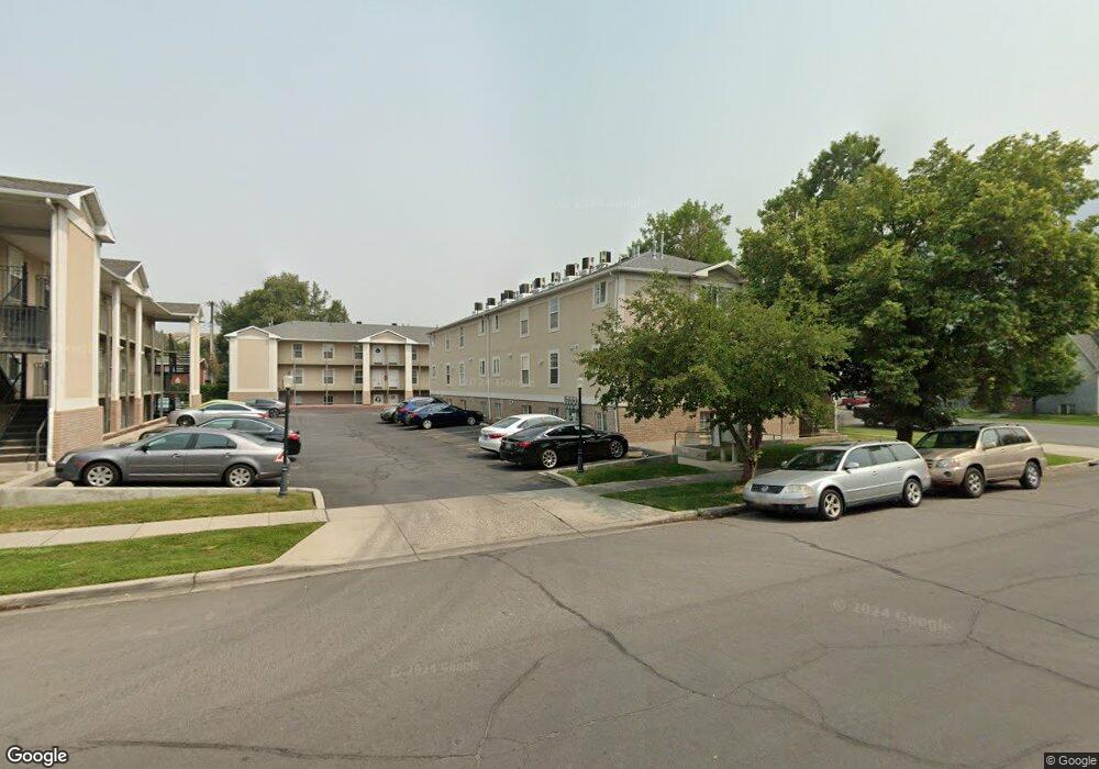
114 W 400 N Unit 19 Provo, UT 84601
Downtown Provo NeighborhoodEstimated Value: $269,000 - $299,000
2
Beds
1
Bath
768
Sq Ft
$374/Sq Ft
Est. Value
About This Home
This home is located at 114 W 400 N Unit 19, Provo, UT 84601 and is currently estimated at $287,347, approximately $374 per square foot. 114 W 400 N Unit 19 is a home located in Utah County with nearby schools including Provo Peaks School, Centennial Middle School, and Timpview High School.
Ownership History
Date
Name
Owned For
Owner Type
Purchase Details
Closed on
Dec 1, 2020
Sold by
Hobson David G and Hobson Cynthia L
Bought by
David & Cindy Hobson Trust
Current Estimated Value
Purchase Details
Closed on
Jan 13, 2005
Sold by
Hobson Aaron C
Bought by
Hobson David G and Hobson Cindy L
Home Financials for this Owner
Home Financials are based on the most recent Mortgage that was taken out on this home.
Original Mortgage
$77,600
Interest Rate
6.12%
Mortgage Type
New Conventional
Purchase Details
Closed on
Jul 26, 2000
Sold by
Dalley Nelson Kent
Bought by
Hobson Aaron C and Hobson David G
Home Financials for this Owner
Home Financials are based on the most recent Mortgage that was taken out on this home.
Original Mortgage
$89,250
Interest Rate
8.2%
Mortgage Type
FHA
Create a Home Valuation Report for This Property
The Home Valuation Report is an in-depth analysis detailing your home's value as well as a comparison with similar homes in the area
Home Values in the Area
Average Home Value in this Area
Purchase History
| Date | Buyer | Sale Price | Title Company |
|---|---|---|---|
| David & Cindy Hobson Trust | -- | None Listed On Document | |
| Hobson David G | -- | Mountain View Title Ogden | |
| Hobson Aaron C | -- | First American Title Co | |
| Hobson Aaron C | -- | First American Title Co |
Source: Public Records
Mortgage History
| Date | Status | Borrower | Loan Amount |
|---|---|---|---|
| Previous Owner | Hobson David G | $77,600 | |
| Previous Owner | Hobson Aaron C | $89,250 |
Source: Public Records
Tax History Compared to Growth
Tax History
| Year | Tax Paid | Tax Assessment Tax Assessment Total Assessment is a certain percentage of the fair market value that is determined by local assessors to be the total taxable value of land and additions on the property. | Land | Improvement |
|---|---|---|---|---|
| 2025 | $1,419 | $148,665 | $30,000 | $240,300 |
| 2024 | $1,419 | $139,645 | $0 | $0 |
| 2023 | $1,396 | $135,465 | $0 | $0 |
| 2022 | $1,341 | $131,230 | $0 | $0 |
| 2021 | $1,127 | $192,400 | $23,100 | $169,300 |
| 2020 | $1,112 | $177,900 | $21,300 | $156,600 |
| 2019 | $968 | $161,000 | $21,000 | $140,000 |
| 2018 | $830 | $140,000 | $17,000 | $123,000 |
| 2017 | $746 | $69,190 | $0 | $0 |
| 2016 | $741 | $64,075 | $0 | $0 |
| 2015 | $705 | $61,600 | $0 | $0 |
| 2014 | $676 | $61,600 | $0 | $0 |
Source: Public Records
Map
Nearby Homes
- 250 N 100 W Unit 109
- 361 N 300 W Unit 201
- 75 E 200 N Unit 106
- 136 E 400 N Unit 107
- 270 N 400 W
- 209 N 400 W
- 466 N 200 E
- 836 N University Ave Unit 111
- 394 N 300 E
- 40 S Freedom Blvd
- 614 W 400 N
- 595 N 600 W
- 556 W 800 N Unit 18
- 266 N 700 W
- 810 N 600 W
- 828 N 600 W
- 440 N 800 W
- 70 E 200 S
- 541 E 500 N Unit 10
- 541 E 500 N Unit 12
- 114 W 400 N
- 114 W 400 N
- 114 W 400 N
- 114 W 400 N Unit 20
- 114 W 400 N
- 114 W 400 N Unit 17
- 114 W 400 N
- 114 W 400 N
- 114 W 400 N Unit 14
- 114 W 400 N
- 114 W 400 N Unit 24
- 114 W 400 N Unit 13
- 114 W 400 N Unit 18
- 114 W 400 N Unit 16
- 136 W 400 N
- 136 W 400 N
- 136 W 400 N Unit 33
- 136 W 400 N
- 136 W 400 N
- 136 W 400 N