114 Wd Davidson Rd Dry Prong, LA 71423
Estimated Value: $151,882 - $180,000
--
Bed
--
Bath
--
Sq Ft
1.44
Acres
About This Home
This home is located at 114 Wd Davidson Rd, Dry Prong, LA 71423 and is currently estimated at $166,971. 114 Wd Davidson Rd is a home located in Grant Parish with nearby schools including Colfax Elementary School, Grant Junior High School, and Grant High School.
Ownership History
Date
Name
Owned For
Owner Type
Purchase Details
Closed on
Nov 27, 2018
Bought by
Rouse William A and Sketoe Brittany A
Current Estimated Value
Purchase Details
Closed on
Mar 30, 2011
Sold by
Buckelew Buckelew Carlos Carlos and Buckelew Able Betty
Bought by
Burton Brain Nathaniel
Home Financials for this Owner
Home Financials are based on the most recent Mortgage that was taken out on this home.
Original Mortgage
$89,841
Interest Rate
4.92%
Create a Home Valuation Report for This Property
The Home Valuation Report is an in-depth analysis detailing your home's value as well as a comparison with similar homes in the area
Home Values in the Area
Average Home Value in this Area
Purchase History
| Date | Buyer | Sale Price | Title Company |
|---|---|---|---|
| Rouse William A | $140,000 | -- | |
| Burton Brain Nathaniel | $85,500 | -- |
Source: Public Records
Mortgage History
| Date | Status | Borrower | Loan Amount |
|---|---|---|---|
| Previous Owner | Burton Brain Nathaniel | $89,841 |
Source: Public Records
Tax History Compared to Growth
Tax History
| Year | Tax Paid | Tax Assessment Tax Assessment Total Assessment is a certain percentage of the fair market value that is determined by local assessors to be the total taxable value of land and additions on the property. | Land | Improvement |
|---|---|---|---|---|
| 2024 | $1,819 | $12,526 | $901 | $11,625 |
| 2023 | $1,455 | $9,360 | $1,000 | $8,360 |
| 2022 | $1,449 | $9,360 | $1,000 | $8,360 |
| 2021 | $1,449 | $9,360 | $1,000 | $8,360 |
| 2020 | $1,442 | $9,360 | $1,000 | $8,360 |
| 2019 | $1,863 | $11,700 | $1,000 | $10,700 |
| 2018 | $684 | $4,295 | $200 | $4,095 |
| 2017 | $1,432 | $9,020 | $200 | $8,820 |
| 2015 | $1,463 | $8,600 | $200 | $8,400 |
| 2014 | $1,463 | $8,600 | $200 | $8,400 |
| 2013 | $1,463 | $8,600 | $200 | $8,400 |
Source: Public Records
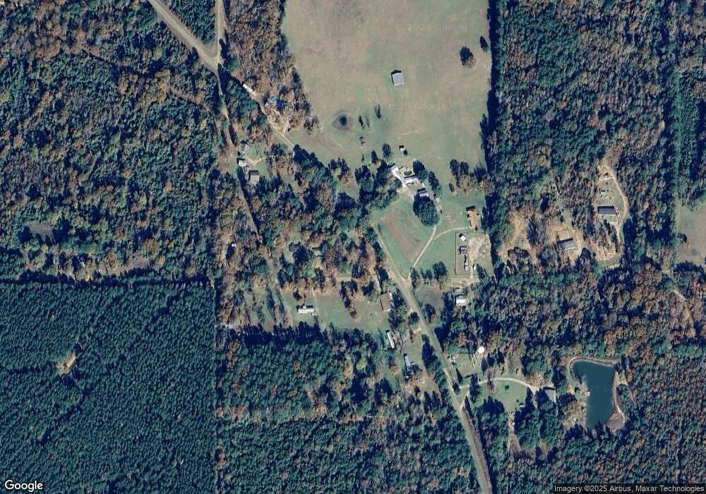
Map
Nearby Homes
- 129 H L Newton Rd Unit 2
- 129 H L Newton Rd
- Tbd Newton Rd
- 978 Lake Rd
- 520 Donaldson Rd
- 0 Sophie Ln Unit 2493396
- 0 Sophie Ln Unit 2493389
- 0 Sophie Ln Unit 2493393
- 0 Sophie Ln Unit 2493383
- 0 Sophie Ln Unit 2493401
- 0 Sophie Ln Unit 2493385
- 0 Highway 167 (25 Acres) Unit 2423246
- 0 Sophie Ln Unit 2493398
- 0 Sophie Ln Unit 2493392
- 0 Sophie Ln Unit 2494383
- 00 Highway 167 (25 Acres)
- 0 Cold Branch Unit 2510797
- 369 Rice Patch Rd
- 0 Claudes Rd Unit 2505247
- 159 Corley Dr
- 114 W D Davidson Rd
- 128 Wd Davidson Rd
- 128 W D Davidson Rd
- 136 Wd Davidson Rd
- 120 Hl Newton Rd
- 914 Fairfield Rd
- 160 W D Davidson Rd
- 160 Wd Davidson Rd
- 994 Fairfield Rd
- 982 Fairfield Rd
- 941 Fairfield Rd
- 129 Hl Newton Rd
- 990 Fairfield Rd
- 1011 Fairfield Rd
- 169 Hl Newton Rd
- 216 Hl Newton Rd
- 1096 Fairfield Rd
- 623 Douglas Rd
- 211 Hl Newton Rd
- 1100 Fairfield Rd