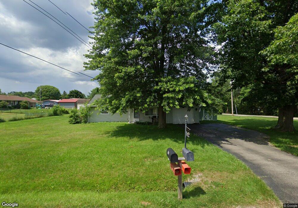
114 Westgate Dr New Castle, PA 16101
Estimated Value: $106,000 - $166,930
3
Beds
1
Bath
950
Sq Ft
$158/Sq Ft
Est. Value
About This Home
This home is located at 114 Westgate Dr, New Castle, PA 16101 and is currently estimated at $149,733, approximately $157 per square foot. 114 Westgate Dr is a home located in Lawrence County with nearby schools including Union Memorial Elementary School, Union Area High School, and St. Vitus School.
Ownership History
Date
Name
Owned For
Owner Type
Purchase Details
Closed on
Dec 28, 2022
Sold by
Pacifico Joseph L and Pacifico Amanda Sue
Bought by
Wallace Ronald E
Current Estimated Value
Home Financials for this Owner
Home Financials are based on the most recent Mortgage that was taken out on this home.
Original Mortgage
$145,712
Outstanding Balance
$141,214
Interest Rate
6.61%
Mortgage Type
FHA
Estimated Equity
$8,519
Purchase Details
Closed on
Oct 1, 2008
Sold by
Krasinski Stephen H and Krasinski Regina
Bought by
Didiano Audra L and Krasinski Stephen H
Create a Home Valuation Report for This Property
The Home Valuation Report is an in-depth analysis detailing your home's value as well as a comparison with similar homes in the area
Home Values in the Area
Average Home Value in this Area
Purchase History
| Date | Buyer | Sale Price | Title Company |
|---|---|---|---|
| Wallace Ronald E | $148,400 | -- | |
| Didiano Audra L | -- | None Available |
Source: Public Records
Mortgage History
| Date | Status | Borrower | Loan Amount |
|---|---|---|---|
| Open | Wallace Ronald E | $145,712 |
Source: Public Records
Tax History Compared to Growth
Tax History
| Year | Tax Paid | Tax Assessment Tax Assessment Total Assessment is a certain percentage of the fair market value that is determined by local assessors to be the total taxable value of land and additions on the property. | Land | Improvement |
|---|---|---|---|---|
| 2025 | $1,923 | $61,700 | $15,300 | $46,400 |
| 2024 | $1,848 | $61,700 | $15,300 | $46,400 |
| 2023 | $1,794 | $61,700 | $15,300 | $46,400 |
| 2022 | $1,591 | $57,700 | $15,300 | $42,400 |
| 2021 | $1,591 | $57,700 | $15,300 | $42,400 |
| 2020 | $1,591 | $57,700 | $15,300 | $42,400 |
| 2019 | $1,519 | $57,700 | $15,300 | $42,400 |
| 2018 | $1,519 | $57,700 | $15,300 | $42,400 |
| 2017 | $1,472 | $57,700 | $15,300 | $42,400 |
| 2016 | $575 | $57,700 | $15,300 | $42,400 |
| 2015 | $575 | $57,700 | $15,300 | $42,400 |
| 2014 | $575 | $57,700 | $15,300 | $42,400 |
Source: Public Records
Map
Nearby Homes
- 289 Scotland Ln
- 126 Cecil Ave
- 486 Scotland Ln
- 660 Kingdom Dr
- 16 Coates Ave
- 179 Frenz Dr
- 1422 Johnson St
- 67 Ida Dr
- 1502 Herrick St
- 3039 Mcclelland Ave
- 1223 Rebecca St
- 401 Grandview Ave
- 0000 Harbor Rd
- 804 Barbra Ln Unit 13D
- 1920 Robinwood St
- 12 N Lee Ave
- 1013 Charles Dr
- 1013 W Washington St
- 21 S Round St
- 1648 Katherine St