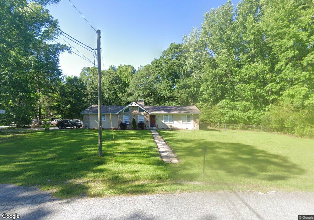
114 Williams Cir Sharpsburg, GA 30277
Estimated Value: $250,366 - $402,000
3
Beds
2
Baths
1,661
Sq Ft
$183/Sq Ft
Est. Value
About This Home
This home is located at 114 Williams Cir, Sharpsburg, GA 30277 and is currently estimated at $304,342, approximately $183 per square foot. 114 Williams Cir is a home located in Coweta County with nearby schools including Willis Road Elementary School, Lee Middle School, and East Coweta High School.
Ownership History
Date
Name
Owned For
Owner Type
Purchase Details
Closed on
Jul 2, 2010
Sold by
Mcdade Britton J
Bought by
Mcdade Britton J and Holden Kurt
Current Estimated Value
Purchase Details
Closed on
May 4, 2010
Sold by
Ridley Brenda S
Bought by
Wells Fargo Bk Na
Purchase Details
Closed on
Apr 26, 1977
Bought by
Ridley Brenda S
Create a Home Valuation Report for This Property
The Home Valuation Report is an in-depth analysis detailing your home's value as well as a comparison with similar homes in the area
Home Values in the Area
Average Home Value in this Area
Purchase History
| Date | Buyer | Sale Price | Title Company |
|---|---|---|---|
| Mcdade Britton J | -- | -- | |
| Wells Fargo Bk Na | $29,800 | -- | |
| Ridley Brenda S | $40,000 | -- |
Source: Public Records
Tax History Compared to Growth
Tax History
| Year | Tax Paid | Tax Assessment Tax Assessment Total Assessment is a certain percentage of the fair market value that is determined by local assessors to be the total taxable value of land and additions on the property. | Land | Improvement |
|---|---|---|---|---|
| 2025 | $1,748 | $69,230 | $14,000 | $55,230 |
| 2024 | $1,772 | $70,709 | $14,000 | $56,709 |
| 2023 | $1,772 | $55,928 | $10,000 | $45,928 |
| 2022 | $1,468 | $54,968 | $10,000 | $44,968 |
| 2021 | $1,418 | $48,888 | $10,000 | $38,888 |
| 2020 | $1,444 | $48,888 | $10,000 | $38,888 |
| 2019 | $1,117 | $34,210 | $6,000 | $28,210 |
| 2018 | $1,123 | $34,210 | $6,000 | $28,210 |
| 2017 | $1,125 | $34,210 | $6,000 | $28,210 |
| 2016 | $1,120 | $34,210 | $6,000 | $28,210 |
| 2015 | $952 | $29,508 | $6,000 | $23,508 |
| 2014 | -- | $29,508 | $6,000 | $23,508 |
Source: Public Records
Map
Nearby Homes
- 0 Bob Smith Rd Unit 10562838
- 1 Mcintosh Trail
- 138 Main St
- 196 Bob Smith Rd
- 250 Bob Smith Rd
- 140 Halo Trace
- 296 Mcintosh Trail
- 28 Fawn Ct
- 180 Saint James Place
- 8 Chiefs Trail
- 483 Mcintosh Trail
- Briarwood Plan at Twelve Parks 55+
- Sullivan Plan at Twelve Parks 55+
- 4 Unicoi Trail
- 12 Unicoi Trail
- Crestwood Plan at Twelve Parks 55+
- 98 Keown Loop
- Brunswick Plan at Twelve Parks 55+
- 25 Lentry Dr
- 25 Chemin Place
- 106 Sunset Dr
- 134 Williams Cir
- 110 Sunset Dr
- 112 Sunset Dr
- 100 Williams Cir
- 97 Williams Cir
- 114 Sunset Dr
- 100 Sunset Dr
- 146 Williams Cir
- 0 Sunset Dr Unit 2988260
- 0 Sunset Dr Unit 7373000
- 0 Sunset Dr Unit 1.5AC 7483231
- 149 Williams Cir
- 116 Sunset Dr
- 92 Williams Cir
- 85 Williams Cir
- 47 Williams Cir Unit 3
- 47 Williams Cir
- 6546 Highway 54
- 6632 Highway 54