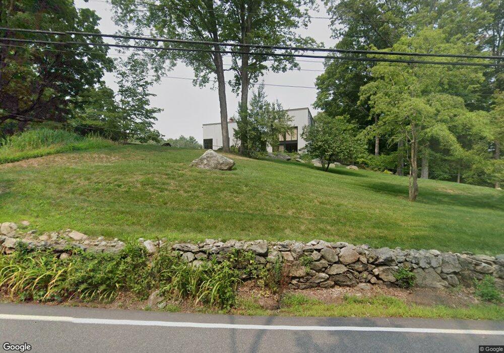
114 Woodland St Sherborn, MA 01770
Estimated Value: $1,775,578 - $2,302,000
5
Beds
4
Baths
4,332
Sq Ft
$446/Sq Ft
Est. Value
About This Home
This home is located at 114 Woodland St, Sherborn, MA 01770 and is currently estimated at $1,932,395, approximately $446 per square foot. 114 Woodland St is a home located in Middlesex County with nearby schools including Pine Hill Elementary School, Dover-Sherborn Regional Middle School, and Dover-Sherborn Regional High School.
Ownership History
Date
Name
Owned For
Owner Type
Purchase Details
Closed on
May 15, 2008
Sold by
Labins Charles and Labins Judith
Bought by
Smith James S and Lynch Nora M
Current Estimated Value
Home Financials for this Owner
Home Financials are based on the most recent Mortgage that was taken out on this home.
Original Mortgage
$860,000
Interest Rate
5.91%
Mortgage Type
Purchase Money Mortgage
Purchase Details
Closed on
Feb 26, 2004
Sold by
Adamson Andrew C and Devoge Sylvia C
Bought by
Labins Charles and Labins Judith
Home Financials for this Owner
Home Financials are based on the most recent Mortgage that was taken out on this home.
Original Mortgage
$1,000,000
Interest Rate
5.65%
Mortgage Type
Purchase Money Mortgage
Purchase Details
Closed on
Mar 2, 1998
Sold by
Cole Elizabeth F
Bought by
Adamson Andrew C and Devoge Sylvia C
Home Financials for this Owner
Home Financials are based on the most recent Mortgage that was taken out on this home.
Original Mortgage
$650,000
Interest Rate
6.85%
Mortgage Type
Purchase Money Mortgage
Create a Home Valuation Report for This Property
The Home Valuation Report is an in-depth analysis detailing your home's value as well as a comparison with similar homes in the area
Home Values in the Area
Average Home Value in this Area
Purchase History
| Date | Buyer | Sale Price | Title Company |
|---|---|---|---|
| Smith James S | $1,075,000 | -- | |
| Labins Charles | $1,525,000 | -- | |
| Adamson Andrew C | $825,000 | -- |
Source: Public Records
Mortgage History
| Date | Status | Borrower | Loan Amount |
|---|---|---|---|
| Open | Adamson Andrew C | $860,000 | |
| Closed | Smith James S | $860,000 | |
| Previous Owner | Labins Charles | $1,000,000 | |
| Previous Owner | Adamson Andrew C | $650,000 |
Source: Public Records
Tax History Compared to Growth
Tax History
| Year | Tax Paid | Tax Assessment Tax Assessment Total Assessment is a certain percentage of the fair market value that is determined by local assessors to be the total taxable value of land and additions on the property. | Land | Improvement |
|---|---|---|---|---|
| 2025 | $26,541 | $1,600,800 | $525,400 | $1,075,400 |
| 2024 | $27,395 | $1,616,200 | $516,700 | $1,099,500 |
| 2023 | $25,652 | $1,424,300 | $516,700 | $907,600 |
| 2022 | $23,428 | $1,231,100 | $500,800 | $730,300 |
| 2021 | $23,576 | $1,201,000 | $500,800 | $700,200 |
| 2020 | $23,120 | $1,188,100 | $500,800 | $687,300 |
| 2019 | $21,621 | $1,102,000 | $500,800 | $601,200 |
| 2018 | $4,740 | $1,102,000 | $500,800 | $601,200 |
| 2017 | $21,156 | $1,034,000 | $495,000 | $539,000 |
| 2016 | $20,677 | $1,005,200 | $466,200 | $539,000 |
| 2015 | $20,381 | $1,003,000 | $454,600 | $548,400 |
| 2014 | $19,315 | $949,600 | $443,100 | $506,500 |
Source: Public Records
Map
Nearby Homes
- 20 Nason Hill Rd
- 2 Surrey Ln
- 61 Old Orchard Rd
- 7 Fawn Rd
- 6 Brook St
- 220 S Main St
- 14 Sewall Brook Ln
- 18 Wildwood Dr
- 54 Spywood Rd
- 4 Green Ln
- 27 Spywood Rd
- 21 Spywood Rd
- 38 Bullard St
- 121 Bullard St
- 65 Farm Road Lot 6
- 30 Powderhorn Ln
- 00000 S Main St and Bullard St
- 151 Mohawk Path
- 2 Towne Lyne Rd
- 195 High St
- 114 Woodland St Unit 1
- 110 Woodland St
- 118 Woodland St
- 111 Woodland St
- 104 Woodland St
- 121 Woodland St
- 15 Apple St
- 63 Russett Hill Rd
- 129 Woodland St
- 45 Greenwood St
- 92 Woodland St
- 8 Apple St
- 133 Woodland St
- 133 Woodland St
- 133 Woodand St
- 67 Russett Hill Rd
- 2 Cross St
- 5 Apple St
- 132 Woodland St
- 94 Woodland St