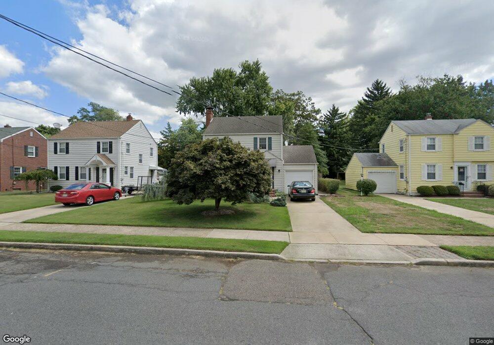
114 Woodside Ave Hamilton, NJ 08610
Estimated Value: $332,438 - $407,000
--
Bed
--
Bath
1,293
Sq Ft
$298/Sq Ft
Est. Value
About This Home
This home is located at 114 Woodside Ave, Hamilton, NJ 08610 and is currently estimated at $385,610, approximately $298 per square foot. 114 Woodside Ave is a home located in Mercer County with nearby schools including Robinson Elementary School, Albert E. Grice Middle School, and Hamilton West-Watson High School.
Ownership History
Date
Name
Owned For
Owner Type
Purchase Details
Closed on
Jan 15, 1996
Sold by
Natriello Albert
Bought by
Alloway David and Alloway Nancy
Current Estimated Value
Home Financials for this Owner
Home Financials are based on the most recent Mortgage that was taken out on this home.
Original Mortgage
$104,000
Outstanding Balance
$2,763
Interest Rate
7.13%
Estimated Equity
$382,847
Create a Home Valuation Report for This Property
The Home Valuation Report is an in-depth analysis detailing your home's value as well as a comparison with similar homes in the area
Home Values in the Area
Average Home Value in this Area
Purchase History
| Date | Buyer | Sale Price | Title Company |
|---|---|---|---|
| Alloway David | $129,900 | -- |
Source: Public Records
Mortgage History
| Date | Status | Borrower | Loan Amount |
|---|---|---|---|
| Open | Alloway David | $104,000 |
Source: Public Records
Tax History Compared to Growth
Tax History
| Year | Tax Paid | Tax Assessment Tax Assessment Total Assessment is a certain percentage of the fair market value that is determined by local assessors to be the total taxable value of land and additions on the property. | Land | Improvement |
|---|---|---|---|---|
| 2025 | $6,548 | $185,800 | $61,000 | $124,800 |
| 2024 | $6,137 | $185,800 | $61,000 | $124,800 |
| 2023 | $6,137 | $185,800 | $61,000 | $124,800 |
| 2022 | $6,040 | $185,800 | $61,000 | $124,800 |
| 2021 | $6,490 | $185,800 | $61,000 | $124,800 |
| 2020 | $5,571 | $185,800 | $61,000 | $124,800 |
| 2019 | $5,695 | $185,800 | $61,000 | $124,800 |
| 2018 | $5,645 | $185,800 | $61,000 | $124,800 |
| 2017 | $5,503 | $185,800 | $61,000 | $124,800 |
| 2016 | $5,024 | $185,800 | $61,000 | $124,800 |
| 2015 | $5,549 | $125,000 | $40,500 | $84,500 |
| 2014 | $5,451 | $125,000 | $40,500 | $84,500 |
Source: Public Records
Map
Nearby Homes
- 1782 Exton Ave
- 29 Oregon Ave
- 156 Maddock Ave
- 28 Thropp Ave
- 204 Thropp Ave
- 234 Thropp Ave
- 7 Alfred Ave
- 158 Churchill Ave
- 1782 Orchard Ave
- 14 James Cubberly Ct
- 250 Lacy Ave
- 376 White Horse Ave
- 153 Knapp Ave
- 164 Lillian Ave
- 2325 S Broad St
- 5 Sandy Ln
- 74 Taft Ave
- 50 Kenwood Terrace
- 45 Kenwood Terrace
- 27 Olden Terrace
- 106 Woodside Ave
- 120 Woodside Ave
- 4008 S Clinton Ave
- 126 Woodside Ave
- 132 Woodside Ave
- 117 Homestead Ave
- 140 Woodside Ave
- 123 Homestead Ave
- 111 Homestead Ave
- 66 Woodside Ave
- 129 Homestead Ave
- 137 Homestead Ave
- 146 Woodside Ave
- 60 Woodside Ave
- 119 Woodside Ave
- 109 Woodside Ave
- 101 Homestead Ave
- 3950 S Clinton Ave
- 127 Woodside Ave
- 133 Woodside Ave