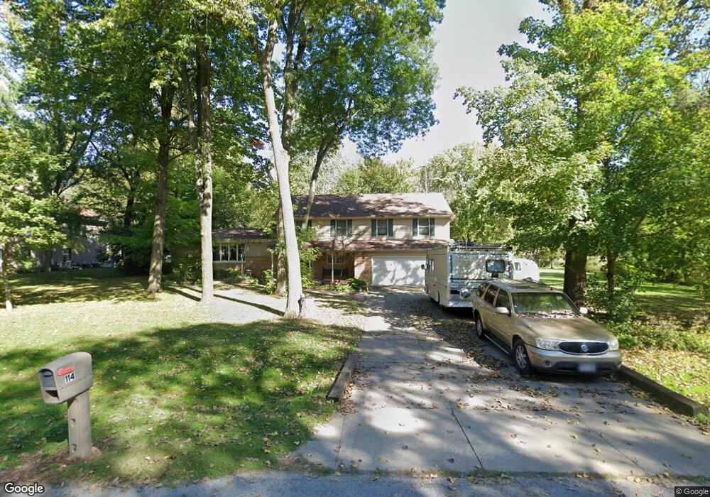
114 Woodside Ct Neenah, WI 54956
Estimated Value: $441,000 - $597,000
4
Beds
3
Baths
3,450
Sq Ft
$146/Sq Ft
Est. Value
About This Home
This home is located at 114 Woodside Ct, Neenah, WI 54956 and is currently estimated at $502,500, approximately $145 per square foot. 114 Woodside Ct is a home located in Winnebago County with nearby schools including Tullar Elementary School, Horace Mann Middle School, and Neenah Middle School.
Ownership History
Date
Name
Owned For
Owner Type
Purchase Details
Closed on
Oct 3, 2008
Sold by
Mutchler Keith D and Mutchler Sherry A
Bought by
Ullmann James A and Ullmann Susan L
Current Estimated Value
Home Financials for this Owner
Home Financials are based on the most recent Mortgage that was taken out on this home.
Original Mortgage
$80,000
Outstanding Balance
$53,428
Interest Rate
6.52%
Mortgage Type
Purchase Money Mortgage
Estimated Equity
$449,072
Create a Home Valuation Report for This Property
The Home Valuation Report is an in-depth analysis detailing your home's value as well as a comparison with similar homes in the area
Home Values in the Area
Average Home Value in this Area
Purchase History
| Date | Buyer | Sale Price | Title Company |
|---|---|---|---|
| Ullmann James A | $255,000 | None Available |
Source: Public Records
Mortgage History
| Date | Status | Borrower | Loan Amount |
|---|---|---|---|
| Open | Ullmann James A | $80,000 |
Source: Public Records
Tax History Compared to Growth
Tax History
| Year | Tax Paid | Tax Assessment Tax Assessment Total Assessment is a certain percentage of the fair market value that is determined by local assessors to be the total taxable value of land and additions on the property. | Land | Improvement |
|---|---|---|---|---|
| 2024 | $4,497 | $290,300 | $35,000 | $255,300 |
| 2023 | $4,423 | $290,300 | $35,000 | $255,300 |
| 2022 | $4,517 | $290,300 | $35,000 | $255,300 |
| 2021 | $4,370 | $290,300 | $35,000 | $255,300 |
| 2020 | $4,646 | $290,300 | $35,000 | $255,300 |
| 2019 | $4,268 | $247,700 | $32,000 | $215,700 |
| 2018 | $4,119 | $247,700 | $32,000 | $215,700 |
| 2017 | $3,843 | $247,700 | $32,000 | $215,700 |
| 2016 | $3,885 | $247,700 | $32,000 | $215,700 |
| 2015 | $3,785 | $247,700 | $32,000 | $215,700 |
| 2014 | -- | $247,700 | $32,000 | $215,700 |
| 2013 | -- | $247,700 | $32,000 | $215,700 |
Source: Public Records
Map
Nearby Homes
- 1516 Kingswood Dr
- 1562 Lone Oak Dr
- 1372 Baytree Ln
- 1599 Redwing Dr
- 1017 Westwind Dr
- 1160 Westwind Dr
- 0 Vassar Ln
- 1442 Baytree Ln
- 1316 Wedgewood Ln
- 1539 Freedom Meadows Dr
- 1535 Freedom Meadows Dr
- 985 Babcock St
- 940 Babcock St Unit 96
- 1715 Sovereign Way
- 1721 Freeman Dr
- 1738 Sovereign Way
- 1711 Sovereign Way
- 1112 Oxford Ct
- 1641-HA-51 Plan at Freedom Meadows
- 1600-CH-55 Plan at Freedom Meadows
- 114B Woodside Ct
- 112 Woodside Ct
- 116 Woodside Ct
- 113 Woodside Ct
- 110 Woodside Ct
- 111 Woodside Ct
- 117 Woodside Ct
- 118 Woodside Ct
- 109 Woodside Ct
- 119 Woodside Ct
- 106 Woodside Ct
- 121 Woodside Ct
- 122 Woodside Ct
- 126 Woodside Ct
- 104 Woodside Ct
- 132 Woodside Ct
- 134 Woodside Ct
- 136 Woodside Ct
- 107 Woodside Ln
- 130 Woodside Ct