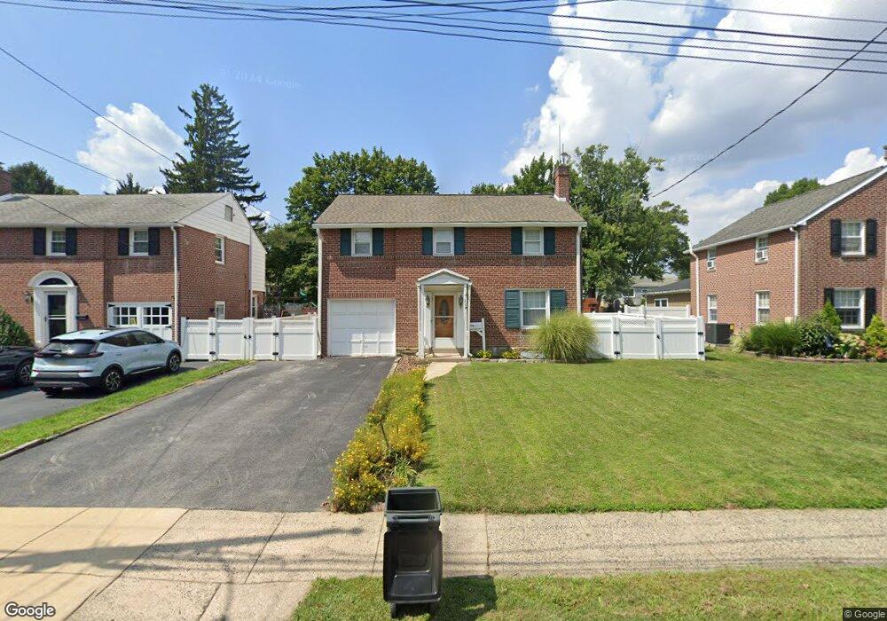
114 Wyndmoor Rd Springfield, PA 19064
Estimated Value: $495,356 - $543,000
3
Beds
2
Baths
1,734
Sq Ft
$297/Sq Ft
Est. Value
About This Home
This home is located at 114 Wyndmoor Rd, Springfield, PA 19064 and is currently estimated at $515,589, approximately $297 per square foot. 114 Wyndmoor Rd is a home located in Delaware County with nearby schools including Springfield High School, St Francis Of Assisi School, and Holy Cross School.
Ownership History
Date
Name
Owned For
Owner Type
Purchase Details
Closed on
Sep 11, 2001
Sold by
Held Robert J and Held Carol A
Bought by
Newman Scott D and Newman Barbara S
Current Estimated Value
Home Financials for this Owner
Home Financials are based on the most recent Mortgage that was taken out on this home.
Original Mortgage
$149,600
Outstanding Balance
$57,996
Interest Rate
6.91%
Mortgage Type
Purchase Money Mortgage
Estimated Equity
$457,593
Create a Home Valuation Report for This Property
The Home Valuation Report is an in-depth analysis detailing your home's value as well as a comparison with similar homes in the area
Home Values in the Area
Average Home Value in this Area
Purchase History
| Date | Buyer | Sale Price | Title Company |
|---|---|---|---|
| Newman Scott D | $187,000 | Fidelity National Title Ins |
Source: Public Records
Mortgage History
| Date | Status | Borrower | Loan Amount |
|---|---|---|---|
| Open | Newman Scott D | $149,600 |
Source: Public Records
Tax History Compared to Growth
Tax History
| Year | Tax Paid | Tax Assessment Tax Assessment Total Assessment is a certain percentage of the fair market value that is determined by local assessors to be the total taxable value of land and additions on the property. | Land | Improvement |
|---|---|---|---|---|
| 2025 | $8,016 | $285,190 | $96,170 | $189,020 |
| 2024 | $8,016 | $285,190 | $96,170 | $189,020 |
| 2023 | $7,783 | $285,190 | $96,170 | $189,020 |
| 2022 | $7,551 | $285,190 | $96,170 | $189,020 |
| 2021 | $11,695 | $285,190 | $96,170 | $189,020 |
| 2020 | $7,142 | $157,610 | $46,230 | $111,380 |
| 2019 | $6,974 | $157,610 | $46,230 | $111,380 |
| 2018 | $6,874 | $157,610 | $0 | $0 |
| 2017 | $6,715 | $157,610 | $0 | $0 |
| 2016 | $865 | $157,610 | $0 | $0 |
| 2015 | $883 | $157,610 | $0 | $0 |
| 2014 | $865 | $157,610 | $0 | $0 |
Source: Public Records
Map
Nearby Homes
- 247 Orchard Rd
- 201 S Highland Rd
- 89 Saxer Ave
- 232 S Highland Rd
- 214 Lynbrooke Rd
- 251 Powell Rd
- 225 Lynbrooke Rd
- 326 Powell Rd
- 364 S Rolling Rd
- 230 Ridgewood Rd
- 341 Kennerly Rd
- 30 Wayne Ave
- 332 Franklin Ave
- 517 W Woodland Ave
- 165 Summit Rd
- 306 E Springfield Rd
- 140 N Rolling Rd
- 342 E Springfield Rd
- 614 Saxer Ave
- 142 Rambling Way
- 118 Wyndmoor Rd
- 110 Wyndmoor Rd
- 106 Wyndmoor Rd
- 122 Wyndmoor Rd
- 126 Wyndmoor Rd
- 100 Wyndmoor Rd
- 159 Orchard Rd
- 82 Lownes Ln
- 115 Wyndmoor Rd
- 119 Wyndmoor Rd
- 201 Orchard Rd
- 130 Wyndmoor Rd
- 111 Wyndmoor Rd
- 123 Wyndmoor Rd
- 205 Orchard Rd
- 107 Wyndmoor Rd
- 78 Lownes Ln
- 127 Wyndmoor Rd
- 209 Orchard Rd
- 134 Wyndmoor Rd