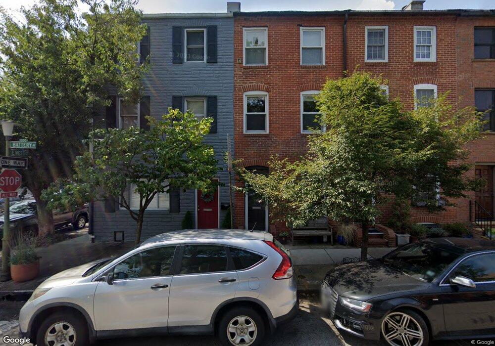
1140 Battery Ave Baltimore, MD 21230
Riverside NeighborhoodEstimated Value: $420,000 - $432,197
4
Beds
3
Baths
--
Sq Ft
1,307
Sq Ft
About This Home
This home is located at 1140 Battery Ave, Baltimore, MD 21230 and is currently estimated at $426,099. 1140 Battery Ave is a home located in Baltimore City with nearby schools including Federal Hill Preparatory School, Booker T. Washington Middle School, and Digital Harbor High School.
Ownership History
Date
Name
Owned For
Owner Type
Purchase Details
Closed on
Sep 27, 2001
Sold by
Flayhart Robert M
Bought by
Ballo Michael S and Pi Sunyer Joanna
Current Estimated Value
Purchase Details
Closed on
Feb 22, 2000
Sold by
Mcintyre Mary L
Bought by
Mcintyre Mary L and Jacquin Kenneth
Purchase Details
Closed on
Aug 30, 1995
Sold by
Shapiro Robert
Bought by
Mcintyre Mary L
Home Financials for this Owner
Home Financials are based on the most recent Mortgage that was taken out on this home.
Original Mortgage
$132,800
Interest Rate
7.61%
Create a Home Valuation Report for This Property
The Home Valuation Report is an in-depth analysis detailing your home's value as well as a comparison with similar homes in the area
Home Values in the Area
Average Home Value in this Area
Purchase History
| Date | Buyer | Sale Price | Title Company |
|---|---|---|---|
| Ballo Michael S | $327,400 | -- | |
| Mcintyre Mary L | $232,500 | -- | |
| Mcintyre Mary L | $166,000 | -- |
Source: Public Records
Mortgage History
| Date | Status | Borrower | Loan Amount |
|---|---|---|---|
| Previous Owner | Mcintyre Mary L | $132,800 |
Source: Public Records
Tax History
| Year | Tax Paid | Tax Assessment Tax Assessment Total Assessment is a certain percentage of the fair market value that is determined by local assessors to be the total taxable value of land and additions on the property. | Land | Improvement |
|---|---|---|---|---|
| 2025 | $8,157 | $393,000 | -- | -- |
| 2024 | $8,157 | $379,900 | -- | -- |
| 2023 | $7,930 | $366,800 | $110,000 | $256,800 |
| 2022 | $7,913 | $365,433 | $0 | $0 |
| 2021 | $8,592 | $364,067 | $0 | $0 |
| 2020 | $7,845 | $362,700 | $110,000 | $252,700 |
| 2019 | $7,805 | $362,700 | $110,000 | $252,700 |
| 2018 | $7,928 | $362,700 | $110,000 | $252,700 |
| 2017 | $8,112 | $367,500 | $0 | $0 |
| 2016 | $7,672 | $357,300 | $0 | $0 |
| 2015 | $7,672 | $347,100 | $0 | $0 |
| 2014 | $7,672 | $336,900 | $0 | $0 |
Source: Public Records
Map
Nearby Homes
- 1134 Battery Ave
- 109 E West St
- 1211 Light St Unit 410
- 1271 Battery Ave
- 418 E Cross St
- 413 Grindall St
- 132 E Gittings St
- 437 Grindall St
- 337 E Hamburg St
- 444 Grindall St
- 1225 Patapsco St
- 409 Warren Ave
- 435 E Gittings St
- 405 E Clement St
- 443 E Gittings St
- 828 William St
- 432 E Clement St
- 1220 Harbor Island Walk
- 1049 S Charles St
- 827 Light St
- 1138 Battery Ave
- 1142 Battery Ave Unit Second Floor
- 1142 Battery Ave
- 1136 Battery Ave
- 1132 Battery Ave Unit 1
- 1132 Battery Ave
- 1130 Battery Ave
- 1128 Battery Ave
- 1200 Battery Ave
- 1200 Battery Ave Unit REAR
- 205 E West St
- 1126 Battery Ave
- 1202 Battery Ave
- 1124 Battery Ave
- 1123 Durst St
- 1135 William St
- 200 E West St Unit 4
- 200 E West St Unit 3
- 200 E West St Unit 1
- 200 E West St Unit 2
Your Personal Tour Guide
Ask me questions while you tour the home.