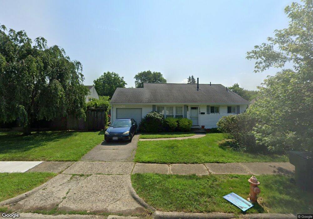
1140 Billie Dr Columbus, OH 43227
Shady Lane NeighborhoodEstimated Value: $209,032 - $248,000
3
Beds
2
Baths
1,312
Sq Ft
$175/Sq Ft
Est. Value
About This Home
This home is located at 1140 Billie Dr, Columbus, OH 43227 and is currently estimated at $230,008, approximately $175 per square foot. 1140 Billie Dr is a home located in Franklin County with nearby schools including Shady Lane Elementary School, Sherwood Middle School, and Walnut Ridge High School.
Ownership History
Date
Name
Owned For
Owner Type
Purchase Details
Closed on
Dec 31, 2007
Sold by
Cal Development Inc
Bought by
Robinson Fort Donna
Current Estimated Value
Home Financials for this Owner
Home Financials are based on the most recent Mortgage that was taken out on this home.
Original Mortgage
$94,516
Outstanding Balance
$59,004
Interest Rate
5.95%
Mortgage Type
FHA
Estimated Equity
$171,004
Purchase Details
Closed on
Apr 30, 2007
Sold by
Merriman Monica R
Bought by
Cal Development Inc
Home Financials for this Owner
Home Financials are based on the most recent Mortgage that was taken out on this home.
Original Mortgage
$68,000
Interest Rate
6.2%
Mortgage Type
Purchase Money Mortgage
Purchase Details
Closed on
Sep 22, 1987
Create a Home Valuation Report for This Property
The Home Valuation Report is an in-depth analysis detailing your home's value as well as a comparison with similar homes in the area
Home Values in the Area
Average Home Value in this Area
Purchase History
| Date | Buyer | Sale Price | Title Company |
|---|---|---|---|
| Robinson Fort Donna | $96,000 | Valmer Land | |
| Cal Development Inc | $55,000 | None Available | |
| -- | $31,000 | -- |
Source: Public Records
Mortgage History
| Date | Status | Borrower | Loan Amount |
|---|---|---|---|
| Open | Robinson Fort Donna | $94,516 | |
| Previous Owner | Cal Development Inc | $68,000 |
Source: Public Records
Tax History Compared to Growth
Tax History
| Year | Tax Paid | Tax Assessment Tax Assessment Total Assessment is a certain percentage of the fair market value that is determined by local assessors to be the total taxable value of land and additions on the property. | Land | Improvement |
|---|---|---|---|---|
| 2024 | $2,372 | $62,650 | $18,480 | $44,170 |
| 2023 | $2,370 | $62,650 | $18,480 | $44,170 |
| 2022 | $1,138 | $30,700 | $6,930 | $23,770 |
| 2021 | $1,140 | $30,700 | $6,930 | $23,770 |
| 2020 | $1,142 | $30,700 | $6,930 | $23,770 |
| 2019 | $954 | $24,470 | $5,530 | $18,940 |
| 2018 | $838 | $24,470 | $5,530 | $18,940 |
| 2017 | $876 | $24,470 | $5,530 | $18,940 |
| 2016 | $798 | $20,800 | $5,710 | $15,090 |
| 2015 | $725 | $20,800 | $5,710 | $15,090 |
| 2014 | $726 | $20,800 | $5,710 | $15,090 |
| 2013 | $467 | $24,465 | $6,720 | $17,745 |
Source: Public Records
Map
Nearby Homes
- 1130 Little Plum Ln
- 4991 Justin Rd
- 1320 Nancy Ln
- 1085 S Hamilton Rd
- 931 Antwerp Rd
- 1281 Maetzel Dr
- 4501 Amesbury Rd
- 1068 Ross Rd
- 1486 Efner Dr
- 4484 Grimsby Rd
- 4677 E Livingston Ave
- 4467 Grimsby Rd
- 4662 Jae Ave
- 855 Dimson Dr E
- 1120 Fairway Blvd
- 4571 Aragon Ave
- 1563 Genoa Place
- 1607 Shady Lane Rd
- 1607 Simpson Dr
- 1571 Baxter Dr
- 1148 Billie Dr
- 1132 Billie Dr
- 1156 Billie Dr
- 4829 Mcallister Ave
- 1141 Country Club Rd
- 1149 Country Club Rd
- 4845 E Mcallister Ave
- 1141 Billie Dr
- 4845 Mcallister Ave
- 1133 Billie Dr
- 1164 Billie Dr
- 1149 Billie Dr
- 1125 Billie Dr
- 1157 Country Club Rd
- 1159 Billie Dr
- 1172 Billie Dr
- 1131 Country Club Rd
- 4834 Mcallister Ave
- 1167 Country Club Rd
- 4799 Mcallister Ave