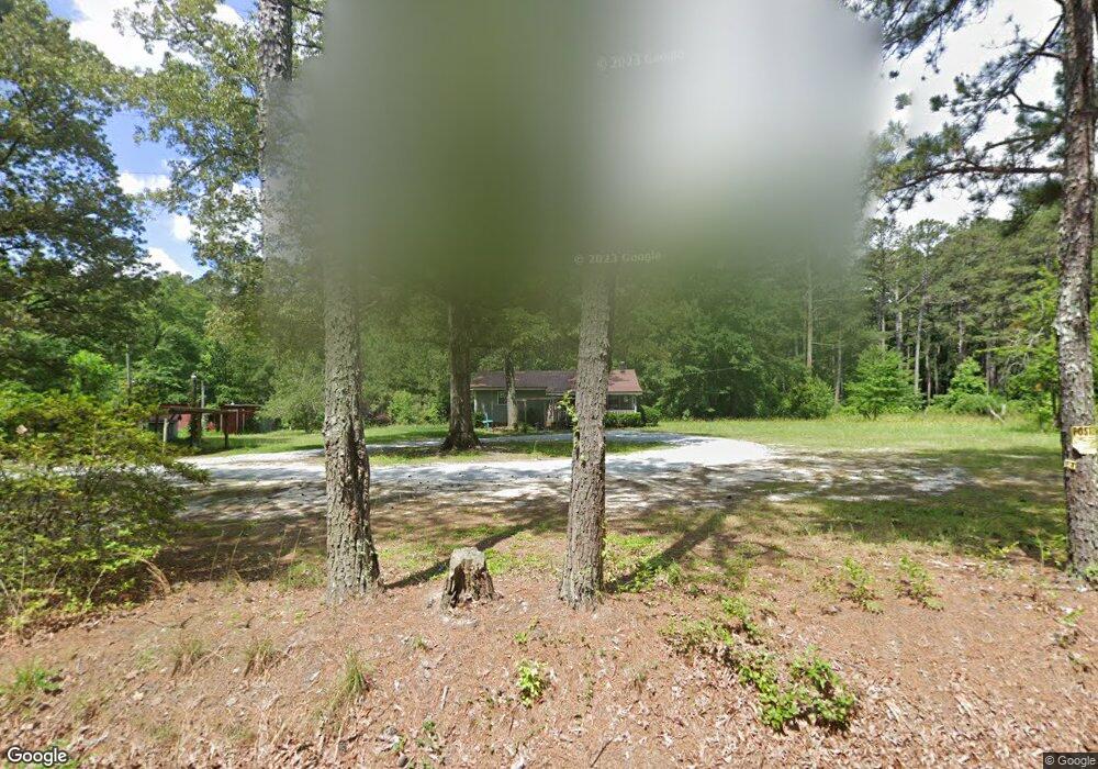
1140 Ham Fork Rd Union Point, GA 30669
Estimated Value: $152,014 - $219,000
2
Beds
1
Bath
1,152
Sq Ft
$156/Sq Ft
Est. Value
About This Home
This home is located at 1140 Ham Fork Rd, Union Point, GA 30669 and is currently estimated at $180,004, approximately $156 per square foot. 1140 Ham Fork Rd is a home located in Greene County with nearby schools including Greene County High School.
Ownership History
Date
Name
Owned For
Owner Type
Purchase Details
Closed on
Sep 1, 2021
Sold by
Doss Romie Lynn
Bought by
Hay Sara Anne
Current Estimated Value
Purchase Details
Closed on
Feb 26, 2013
Sold by
Mize John Wayne
Bought by
Doss Romie L
Home Financials for this Owner
Home Financials are based on the most recent Mortgage that was taken out on this home.
Original Mortgage
$43,203
Interest Rate
3.75%
Mortgage Type
FHA
Purchase Details
Closed on
Jan 1, 1982
Bought by
Mize John Wayne
Create a Home Valuation Report for This Property
The Home Valuation Report is an in-depth analysis detailing your home's value as well as a comparison with similar homes in the area
Purchase History
| Date | Buyer | Sale Price | Title Company |
|---|---|---|---|
| Hay Sara Anne | $70,000 | -- | |
| Doss Romie L | $44,000 | -- | |
| Mize John Wayne | -- | -- |
Source: Public Records
Mortgage History
| Date | Status | Borrower | Loan Amount |
|---|---|---|---|
| Previous Owner | Doss Romie L | $43,203 |
Source: Public Records
Tax History
| Year | Tax Paid | Tax Assessment Tax Assessment Total Assessment is a certain percentage of the fair market value that is determined by local assessors to be the total taxable value of land and additions on the property. | Land | Improvement |
|---|---|---|---|---|
| 2025 | $735 | $41,560 | $7,240 | $34,320 |
| 2024 | $787 | $39,160 | $7,240 | $31,920 |
| 2023 | $496 | $35,640 | $5,480 | $30,160 |
| 2022 | $613 | $24,120 | $4,200 | $19,920 |
| 2021 | $277 | $22,000 | $4,200 | $17,800 |
| 2020 | $266 | $12,000 | $3,720 | $8,280 |
| 2019 | $266 | $12,000 | $3,720 | $8,280 |
| 2018 | $244 | $12,000 | $3,720 | $8,280 |
| 2017 | $242 | $12,046 | $3,744 | $8,302 |
| 2016 | $251 | $12,510 | $3,744 | $8,766 |
| 2015 | $226 | $12,510 | $3,744 | $8,766 |
| 2014 | $227 | $12,646 | $3,744 | $8,902 |
Source: Public Records
Map
Nearby Homes
- 1091 Peachtree Ave E
- 0 Woodville Rd Unit 7667944
- 0 Woodville Rd Unit 10628010
- Whitney Farm
- 5971 Penfield Rd
- 1251 Adams Rd
- 000 Washington Hwy
- 215 Hunter St
- 0 Washington Hwy Unit 10686255
- 324 N Rhodes St
- 0 Woodland Ct Unit 10543600
- 405 Crawfordville Rd
- 1071 Alexander St
- 202 Veazey St
- 509 Carlton Ave
- 93 Carlton Ave
- 310 Philomath Woodville Rd
- 1710 Cunningham Rd
- 1241 Old Siloam Rd
- 5011 Penfield Rd
- 1310 Ham Fork Rd
- 1851 Woodville Rd
- 1790 Woodville Rd
- 1330 Ham Fork Rd
- 1780 Woodville Rd
- 1370 Ham Fork Rd
- 1991 Woodville Rd
- 1120 Woodland Way
- 1761 Woodville Rd
- 2031 Woodville Rd
- 1690 Woodville Rd
- 1690 E Peachtree Ave
- 1670 Peachtree Ave E
- 2130 Woodville Rd
- 1671 Peachtree Ave E
- 2150 Woodville Rd
- 1572 E Peachtree Ave E
- 1570 Peachtree Ave E
- 1561 E Peachtree Ave
- 1561 Peachtree Ave E
Your Personal Tour Guide
Ask me questions while you tour the home.