1140 Jones Brothers Rd Kernersville, NC 27284
Northwest Kernersville NeighborhoodEstimated Value: $206,566 - $285,000
3
Beds
2
Baths
2,150
Sq Ft
$110/Sq Ft
Est. Value
About This Home
This home is located at 1140 Jones Brothers Rd, Kernersville, NC 27284 and is currently estimated at $236,392, approximately $109 per square foot. 1140 Jones Brothers Rd is a home located in Forsyth County with nearby schools including Cash Elementary, East Forsyth Middle, and East Forsyth High School.
Ownership History
Date
Name
Owned For
Owner Type
Purchase Details
Closed on
Jun 18, 2015
Sold by
Jones Roy G and Jones Betty L
Bought by
Jones Roy G and Jones Betty L
Current Estimated Value
Purchase Details
Closed on
Jun 1, 2015
Sold by
Jones Roy G and Jones Betty L
Bought by
Jones Randy G and Jones Kimberly B
Purchase Details
Closed on
Jun 3, 1998
Sold by
Jones Clarence C
Bought by
Jones Roy G and Jones Betty L
Purchase Details
Closed on
Jan 29, 1964
Bought by
Jones and Jones
Create a Home Valuation Report for This Property
The Home Valuation Report is an in-depth analysis detailing your home's value as well as a comparison with similar homes in the area
Home Values in the Area
Average Home Value in this Area
Purchase History
| Date | Buyer | Sale Price | Title Company |
|---|---|---|---|
| Jones Roy G | -- | None Available | |
| Jones Randy G | -- | None Available | |
| Jones Roy G | -- | -- | |
| Jones | -- | -- |
Source: Public Records
Tax History Compared to Growth
Tax History
| Year | Tax Paid | Tax Assessment Tax Assessment Total Assessment is a certain percentage of the fair market value that is determined by local assessors to be the total taxable value of land and additions on the property. | Land | Improvement |
|---|---|---|---|---|
| 2025 | $833 | $164,400 | $40,100 | $124,300 |
| 2024 | $833 | $106,600 | $26,700 | $79,900 |
| 2023 | $833 | $106,600 | $26,700 | $79,900 |
| 2022 | $833 | $106,600 | $26,700 | $79,900 |
| 2021 | $833 | $106,600 | $26,700 | $79,900 |
| 2020 | $681 | $80,000 | $21,500 | $58,500 |
| 2019 | $693 | $80,000 | $21,500 | $58,500 |
| 2018 | $666 | $80,000 | $21,500 | $58,500 |
| 2016 | $694 | $82,993 | $20,109 | $62,884 |
| 2015 | $681 | $82,993 | $20,109 | $62,884 |
| 2014 | $661 | $82,993 | $20,109 | $62,884 |
Source: Public Records
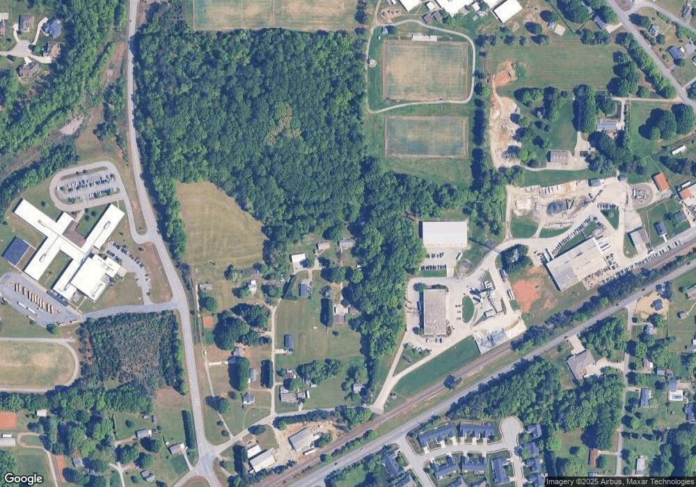
Map
Nearby Homes
- 559 Caladium Ct
- 765 Robbins Perch Trail
- 2231 Pisgah Church Rd
- 4721 Weston Brooke Trail
- 0 Weston Brooke Trail
- 2249 Pisgah Church Rd
- 101 Stanley Farm Rd
- 542 Hopkins Rd
- 4761 Weston Brooke Trail
- Cypress Plan at Pisgah Park
- Drexel Plan at Pisgah Park
- Fenwick Plan at Pisgah Park
- Raleigh Plan at Pisgah Park
- Avery Plan at Pisgah Park
- Mayfair Plan at Pisgah Park
- Canton Plan at Pisgah Park
- Ellerbe Plan at Pisgah Park
- Davidson Plan at Pisgah Park
- 2378 Robbins Perch Ct W
- 2389 Robbins Perch Ct W
- 1124 Jones Brothers Rd
- 1118 Jones Brothers Rd
- 2115 Pisgah Church Rd
- 1121 Jones Brothers Rd
- 1114 Jones Brothers Rd
- 2133 Pisgah Church Rd
- 1110 Jones Brothers Rd
- 2125 Pisgah Church Rd
- 2131 Pisgah Church Rd
- 2084 Hibiscus Ln
- 2082 Hibiscus Ln
- 2080 Hibiscus Ln
- 2078 Hibiscus Ln
- 564 Trilliumplace Dr
- 2076 Hibiscus Ln
- 2074 Hibiscus Ln
- 562 Trilliumplace Dr
- 2081 Hibiscus Ln
- 2083 Hibiscus Ln
- 526 Clematis Way