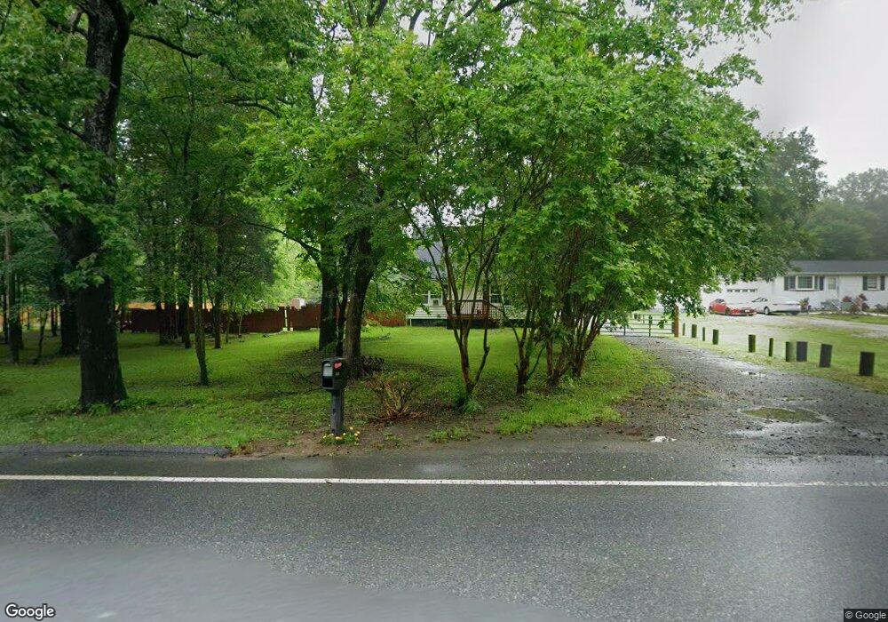
1140 Marlboro Rd Lothian, MD 20711
Estimated Value: $307,000 - $402,858
3
Beds
1
Bath
1,260
Sq Ft
$289/Sq Ft
Est. Value
About This Home
This home is located at 1140 Marlboro Rd, Lothian, MD 20711 and is currently estimated at $364,465, approximately $289 per square foot. 1140 Marlboro Rd is a home located in Anne Arundel County with nearby schools including Lothian Elementary School, Southern Middle School, and Southern High School.
Ownership History
Date
Name
Owned For
Owner Type
Purchase Details
Closed on
Feb 20, 2009
Sold by
Morel Elmer A
Bought by
Moreland Virginia F
Current Estimated Value
Purchase Details
Closed on
Aug 8, 1989
Sold by
Elben Leonard F
Bought by
Moreland 2Nd Elmer A
Home Financials for this Owner
Home Financials are based on the most recent Mortgage that was taken out on this home.
Original Mortgage
$59,500
Interest Rate
9.68%
Create a Home Valuation Report for This Property
The Home Valuation Report is an in-depth analysis detailing your home's value as well as a comparison with similar homes in the area
Home Values in the Area
Average Home Value in this Area
Purchase History
| Date | Buyer | Sale Price | Title Company |
|---|---|---|---|
| Moreland Virginia F | -- | -- | |
| Moreland 2Nd Elmer A | $70,000 | -- |
Source: Public Records
Mortgage History
| Date | Status | Borrower | Loan Amount |
|---|---|---|---|
| Previous Owner | Moreland 2Nd Elmer A | $59,500 |
Source: Public Records
Tax History Compared to Growth
Tax History
| Year | Tax Paid | Tax Assessment Tax Assessment Total Assessment is a certain percentage of the fair market value that is determined by local assessors to be the total taxable value of land and additions on the property. | Land | Improvement |
|---|---|---|---|---|
| 2025 | $4,403 | $344,933 | -- | -- |
| 2024 | $4,403 | $341,767 | $0 | $0 |
| 2023 | $4,325 | $338,600 | $190,000 | $148,600 |
| 2022 | $4,046 | $331,733 | $0 | $0 |
| 2021 | $3,974 | $324,867 | $0 | $0 |
| 2020 | $2,307 | $318,000 | $190,000 | $128,000 |
| 2019 | $3,757 | $307,600 | $0 | $0 |
| 2018 | $3,014 | $297,200 | $0 | $0 |
| 2017 | $3,451 | $286,800 | $0 | $0 |
| 2016 | -- | $286,433 | $0 | $0 |
| 2015 | -- | $286,067 | $0 | $0 |
| 2014 | -- | $285,700 | $0 | $0 |
Source: Public Records
Map
Nearby Homes
- 1154 Mount Zion Marlboro Rd
- 1156 Mount Zion Marlboro Rd
- 1218 Whittington Dr
- 190 Boones Dr
- 214 Konrad Morgan Way
- 92 Patuxent Mobile Estates
- 997 Mount Zion Marlboro Rd
- 263 Konrad Morgan Way
- 76 Patuxent Mobile Estates
- 484 Keith Ct
- 6 Patuxent Mobile Estates
- 460 Sarah Anne Dr
- 318 Ella Dr
- 896 Mount Zion Marlboro Rd
- 26 2nd St
- 5709 Plummer Ln
- 148 1st St
- 5248 Ferry Branch Ln
- 5257 Ferry Branch Ln
- 17211 Usher Place
- 1136 Marlboro Rd
- 1132 Marlboro Rd
- 1132 Marlboro Rd
- 1150 Marlboro Rd
- 1149 Marlboro Rd
- 1124 Mt Zion Marlboro Rd
- 1155 Marlboro Rd
- 1125 Marlboro Rd
- 1124 Marlboro Rd
- 1168 Marlboro Rd
- 1147 Marlboro Rd
- 1163 Mt Zion Marlboro Rd
- 1163 Marlboro Rd
- 1172 Marlboro Rd
- 1166 Marlboro Rd
- 1113 Pemberton Ln
- 1145 Marlboro Rd
- 1174 Marlboro Rd
- 1133 Marlboro Rd
- 1175 Mount Zion Marlboro Rd