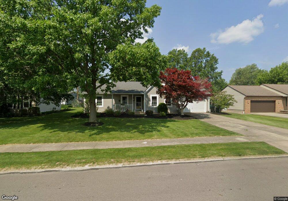
1140 Meadowview Ln Amherst, OH 44001
Estimated Value: $264,140 - $290,000
3
Beds
2
Baths
1,446
Sq Ft
$193/Sq Ft
Est. Value
About This Home
This home is located at 1140 Meadowview Ln, Amherst, OH 44001 and is currently estimated at $279,285, approximately $193 per square foot. 1140 Meadowview Ln is a home located in Lorain County with nearby schools including Powers Elementary School, Walter G. Nord Middle School, and Amherst Junior High School.
Ownership History
Date
Name
Owned For
Owner Type
Purchase Details
Closed on
Sep 12, 2025
Sold by
Moran Thomas A
Bought by
Moran Thomas A and Moran Mary L
Current Estimated Value
Purchase Details
Closed on
Jun 9, 2003
Sold by
Palmer Michael S and Palmer Cara L
Bought by
Moran Thomas A
Home Financials for this Owner
Home Financials are based on the most recent Mortgage that was taken out on this home.
Original Mortgage
$110,000
Interest Rate
5.71%
Mortgage Type
Purchase Money Mortgage
Purchase Details
Closed on
Jul 16, 1997
Sold by
Feldkemp Dean J
Bought by
Palmer Michael S and Palmer Cara L
Home Financials for this Owner
Home Financials are based on the most recent Mortgage that was taken out on this home.
Original Mortgage
$113,900
Interest Rate
7.94%
Mortgage Type
New Conventional
Create a Home Valuation Report for This Property
The Home Valuation Report is an in-depth analysis detailing your home's value as well as a comparison with similar homes in the area
Home Values in the Area
Average Home Value in this Area
Purchase History
| Date | Buyer | Sale Price | Title Company |
|---|---|---|---|
| Moran Thomas A | -- | None Listed On Document | |
| Moran Thomas A | $165,000 | Lorain County Title Co Inc | |
| Palmer Michael S | $134,000 | -- |
Source: Public Records
Mortgage History
| Date | Status | Borrower | Loan Amount |
|---|---|---|---|
| Previous Owner | Moran Thomas A | $110,000 | |
| Previous Owner | Palmer Michael S | $113,900 |
Source: Public Records
Tax History Compared to Growth
Tax History
| Year | Tax Paid | Tax Assessment Tax Assessment Total Assessment is a certain percentage of the fair market value that is determined by local assessors to be the total taxable value of land and additions on the property. | Land | Improvement |
|---|---|---|---|---|
| 2024 | $3,146 | $77,924 | $17,640 | $60,284 |
| 2023 | $3,010 | $62,829 | $13,202 | $49,627 |
| 2022 | $2,886 | $62,829 | $13,202 | $49,627 |
| 2021 | $2,893 | $62,829 | $13,202 | $49,627 |
| 2020 | $2,837 | $54,680 | $11,490 | $43,190 |
| 2019 | $2,780 | $54,680 | $11,490 | $43,190 |
| 2018 | $2,794 | $54,680 | $11,490 | $43,190 |
| 2017 | $2,822 | $51,830 | $10,110 | $41,720 |
| 2016 | $2,844 | $51,830 | $10,110 | $41,720 |
| 2015 | $2,829 | $51,830 | $10,110 | $41,720 |
| 2014 | $2,656 | $48,440 | $9,450 | $38,990 |
| 2013 | $2,665 | $48,440 | $9,450 | $38,990 |
Source: Public Records
Map
Nearby Homes
- 0 Cooper Foster Park Rd Unit 5129838
- 3489 Coopers Trail
- 1011 N Main St
- 110 Habant Dr
- 1250 N Main St
- 922 Sharondale Dr
- 117 Fall Lake Ln
- 357 Pebble Creek Ct
- 0 Rosecliff Dr
- 707 Greenlawn Dr
- 4872 Leavitt Rd
- 4510 Weathervane Dr
- 369 Pebble Creek Ct
- 4680 Boulder Ln
- 726 Sunrise Dr
- 1273 Spruce Tree Ln
- 3794 Freedom Place
- 3788 Freedom Place
- 3784 Freedom Place
- 3774 Freedom Place Unit A
- 1130 Meadowview Ln
- 1150 Meadowview Ln
- 401 Quail Ct
- 1120 Meadowview Ln
- 1160 Meadowview Ln
- 400 Quail Ct
- 369 Quail Ct
- 1145 Meadowview Ln
- 1155 Meadowview Ln
- 1135 Meadowview Ln
- 374 Killdeer Dr
- 402 Killdeer Dr
- 1110 Meadowview Ln
- 1170 Meadowview Ln
- 1165 Meadowview Ln
- 1125 Meadowview Ln
- 372 Quail Ct
- 351 Quail Ct
- 1175 Meadowview Ln
- 1115 Meadowview Ln