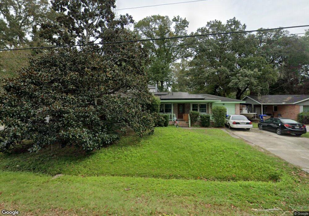
1140 Pittsford Cir Charleston, SC 29412
James Island NeighborhoodEstimated Value: $640,000 - $809,000
4
Beds
3
Baths
2,658
Sq Ft
$272/Sq Ft
Est. Value
About This Home
This home is located at 1140 Pittsford Cir, Charleston, SC 29412 and is currently estimated at $722,256, approximately $271 per square foot. 1140 Pittsford Cir is a home located in Charleston County with nearby schools including James Island Elementary School, Camp Road Middle, and Septima P Clark Corporate Academy.
Ownership History
Date
Name
Owned For
Owner Type
Purchase Details
Closed on
May 22, 2020
Sold by
Hart Gary D
Bought by
Hart Gary D and Hart Paula
Current Estimated Value
Home Financials for this Owner
Home Financials are based on the most recent Mortgage that was taken out on this home.
Original Mortgage
$145,000
Interest Rate
2.7%
Mortgage Type
New Conventional
Create a Home Valuation Report for This Property
The Home Valuation Report is an in-depth analysis detailing your home's value as well as a comparison with similar homes in the area
Home Values in the Area
Average Home Value in this Area
Purchase History
| Date | Buyer | Sale Price | Title Company |
|---|---|---|---|
| Hart Gary D | -- | Solidifi Title |
Source: Public Records
Mortgage History
| Date | Status | Borrower | Loan Amount |
|---|---|---|---|
| Previous Owner | Hart Gary D | $145,000 |
Source: Public Records
Tax History Compared to Growth
Tax History
| Year | Tax Paid | Tax Assessment Tax Assessment Total Assessment is a certain percentage of the fair market value that is determined by local assessors to be the total taxable value of land and additions on the property. | Land | Improvement |
|---|---|---|---|---|
| 2024 | $1,462 | $11,910 | $0 | $0 |
| 2023 | $1,462 | $11,910 | $0 | $0 |
| 2022 | $1,325 | $11,910 | $0 | $0 |
| 2021 | $1,417 | $11,910 | $0 | $0 |
| 2020 | $1,432 | $11,910 | $0 | $0 |
| 2019 | $1,308 | $10,350 | $0 | $0 |
| 2017 | $1,388 | $10,350 | $0 | $0 |
| 2016 | $1,332 | $10,350 | $0 | $0 |
| 2015 | $1,382 | $10,350 | $0 | $0 |
| 2014 | $1,331 | $0 | $0 | $0 |
| 2011 | -- | $0 | $0 | $0 |
Source: Public Records
Map
Nearby Homes
- 1056 Yorktown Dr
- 1764 Ashworth Ln
- 1152 Bradford Ave
- 1182 Folly Rd Unit A,B,C,D
- 1047 Bradford Ave
- 1039 Yorktown Dr
- 1815 Walsingham Way
- 1153 Pauline Ave
- 0 Turkey Pen Rd Unit 16023532
- 1206 Folly Rd
- 1827 S Mayflower Dr
- 1030 Pauline Ave
- 1814 S Mayflower Dr
- 1135 Bellwood Rd
- 1662 Dexter Ln
- 1570 Blaze Ln
- 1530 Fort Johnson Rd Unit 1E
- 1530 Fort Johnson Rd Unit 1L
- 1291 Apex Ln
- 1014 Arborwood Dr
- 1144 Pittsford Cir
- 1136 Pittsford Cir
- 1148 Pittsford Cir
- 1132 Pittsford Cir
- 1145 Pittsford Cir
- 1152 Pittsford Cir
- 1128 Pittsford Cir
- 1155 Pittsford Cir
- 1730 Ashworth Ln
- 1156 Pittsford Cir
- 1736 Ashworth Ln
- 1160 Pittsford Cir
- 1731 Ashworth Ln
- 1130 Folly Rd
- 1126 Folly Rd
- 1161 Pittsford Cir
- 1144 Folly Rd
- 1737 Ashworth Ln
- 1164 Pittsford Cir
- 1088 Yorktown Dr