1140 Rady Dr Unit RADY Clinton, MI 49236
Estimated Value: $442,653 - $517,000
4
Beds
3
Baths
2,028
Sq Ft
$236/Sq Ft
Est. Value
About This Home
This home is located at 1140 Rady Dr Unit RADY, Clinton, MI 49236 and is currently estimated at $478,163, approximately $235 per square foot. 1140 Rady Dr Unit RADY is a home located in Lenawee County with nearby schools including Clinton Elementary School, Clinton Middle School, and Clinton High School.
Ownership History
Date
Name
Owned For
Owner Type
Purchase Details
Closed on
Dec 22, 2016
Sold by
Lovett John C and Lovett Rhonda
Bought by
Maag Stephen and Maag Danielle
Current Estimated Value
Purchase Details
Closed on
Dec 30, 2010
Sold by
Fannie Mae
Bought by
Lovett John C and Lovett Rhonda
Home Financials for this Owner
Home Financials are based on the most recent Mortgage that was taken out on this home.
Original Mortgage
$144,638
Interest Rate
4.75%
Mortgage Type
FHA
Purchase Details
Closed on
Oct 14, 2010
Sold by
Rady Tony C and Bridges Rady Shawn M
Bought by
First Federal Bank Of The Midwest
Purchase Details
Closed on
Aug 24, 2010
Sold by
First Federal Bank Of The Midwest
Bought by
Fannie Mae
Purchase Details
Closed on
Aug 19, 2010
Sold by
Rady Tony C and Bridges Rady Shawn M
Bought by
First Federal Bank Of The Midwest
Create a Home Valuation Report for This Property
The Home Valuation Report is an in-depth analysis detailing your home's value as well as a comparison with similar homes in the area
Home Values in the Area
Average Home Value in this Area
Purchase History
| Date | Buyer | Sale Price | Title Company |
|---|---|---|---|
| Maag Stephen | $225,000 | None Available | |
| Lovett John C | $148,400 | None Available | |
| First Federal Bank Of The Midwest | $129,736 | None Available | |
| Fannie Mae | -- | None Available | |
| First Federal Bank Of The Midwest | $168,286 | None Available |
Source: Public Records
Mortgage History
| Date | Status | Borrower | Loan Amount |
|---|---|---|---|
| Previous Owner | Lovett John C | $144,638 |
Source: Public Records
Tax History Compared to Growth
Tax History
| Year | Tax Paid | Tax Assessment Tax Assessment Total Assessment is a certain percentage of the fair market value that is determined by local assessors to be the total taxable value of land and additions on the property. | Land | Improvement |
|---|---|---|---|---|
| 2025 | $3,362 | $237,200 | $0 | $0 |
| 2024 | $1,275 | $224,800 | $0 | $0 |
| 2022 | $2,818 | $175,500 | $0 | $0 |
| 2021 | $2,781 | $167,900 | $0 | $0 |
| 2020 | $2,748 | $162,600 | $0 | $0 |
| 2019 | $246,306 | $92,000 | $0 | $0 |
| 2018 | $2,629 | $154,429 | $0 | $0 |
| 2017 | $4,069 | $106,555 | $0 | $0 |
| 2016 | $2,132 | $105,774 | $0 | $0 |
| 2014 | -- | $97,902 | $0 | $0 |
Source: Public Records
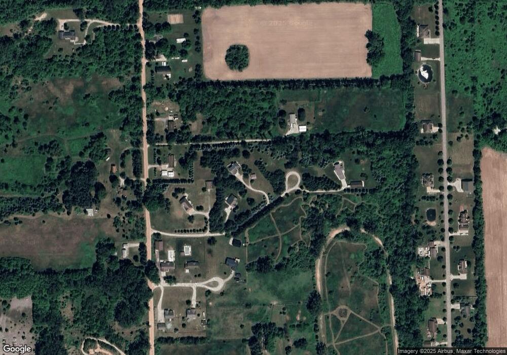
Map
Nearby Homes
- 11800 N Adrian Hwy
- 13001 BLK Bartlett Rd
- 13002 Bartlett Rd
- 20664 Allen Rd
- 13828 Allen Rd
- 19740 Lemm Rd
- 317 Clark St
- 118 Litchfield St
- 111 Washington St
- 103 W Michigan Ave
- 116 Currier St
- 201 Bartlett St
- 2962 U S 12
- 1549 Taylor Rd
- 12164 Wisner Hwy
- 0 Mcneil Hwy Unit Parcel C
- 10000 Mcneil Hwy
- 3581 Kehoe Rd
- 9000 Matthews Hwy
- V/L Post Oak Dr
- 1140 Rady Dr
- 1140 Pine Grove Ln
- 1120 Rady Dr
- 1120 Pine Grove Ln
- 0 Pine Grove Ln
- 1180 Rady Dr
- 16161 Sheridan Rd
- 0 Sheridan Ln Unit 4174585
- 0 Sheridan Ln Unit 905059
- 1110 Sheridan Ln
- 16206 Sheridan Rd
- 1064 Sheridan Ln
- 1063 Sheridan Ln
- 1063 Sheridan Ln Unit SHERIDAN
- 16240 Sheridan Rd
- 16240 Sheridan Rd Unit SHERIDAN
- 1032 Sheridan Ln
- 1031 Sheridan Ln
- 11006 Adams Dr
- 11008 Adams Dr