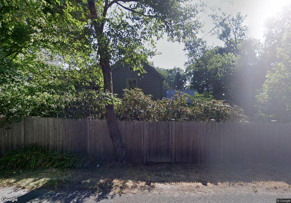
1140 Sturges Hwy Westport, CT 06880
Greenfield Hill NeighborhoodEstimated Value: $1,273,312 - $3,343,000
--
Bed
--
Bath
--
Sq Ft
1.61
Acres
About This Home
This home is located at 1140 Sturges Hwy, Westport, CT 06880 and is currently estimated at $2,061,828. 1140 Sturges Hwy is a home with nearby schools including Dwight Elementary School, Roger Ludlowe Middle School, and Fairfield Ludlowe High School.
Ownership History
Date
Name
Owned For
Owner Type
Purchase Details
Closed on
Aug 17, 1998
Sold by
Sherman Gerald I and Sherman Maureen
Bought by
Finkelstein Susan J
Current Estimated Value
Purchase Details
Closed on
Jul 28, 1988
Sold by
Lang Richard L
Bought by
Sherman Gerald R
Create a Home Valuation Report for This Property
The Home Valuation Report is an in-depth analysis detailing your home's value as well as a comparison with similar homes in the area
Home Values in the Area
Average Home Value in this Area
Purchase History
| Date | Buyer | Sale Price | Title Company |
|---|---|---|---|
| Finkelstein Susan J | $782,000 | -- | |
| Finkelstein Susan J | $782,000 | -- | |
| Sherman Gerald R | $645,000 | -- |
Source: Public Records
Mortgage History
| Date | Status | Borrower | Loan Amount |
|---|---|---|---|
| Open | Sherman Gerald R | $440,000 | |
| Closed | Sherman Gerald R | $590,600 | |
| Closed | Sherman Gerald R | $622,000 |
Source: Public Records
Tax History Compared to Growth
Tax History
| Year | Tax Paid | Tax Assessment Tax Assessment Total Assessment is a certain percentage of the fair market value that is determined by local assessors to be the total taxable value of land and additions on the property. | Land | Improvement |
|---|---|---|---|---|
| 2025 | $13,871 | $488,600 | $249,620 | $238,980 |
| 2024 | $13,632 | $488,600 | $249,620 | $238,980 |
| 2023 | $13,441 | $488,600 | $249,620 | $238,980 |
| 2022 | $13,309 | $488,600 | $249,620 | $238,980 |
| 2021 | $13,182 | $488,600 | $249,620 | $238,980 |
| 2020 | $14,136 | $527,660 | $280,490 | $247,170 |
| 2019 | $14,136 | $527,660 | $280,490 | $247,170 |
| 2018 | $13,909 | $527,660 | $280,490 | $247,170 |
| 2017 | $13,624 | $527,660 | $280,490 | $247,170 |
| 2016 | $13,429 | $527,660 | $280,490 | $247,170 |
| 2015 | $14,587 | $588,420 | $322,070 | $266,350 |
| 2014 | $14,357 | $588,420 | $322,070 | $266,350 |
Source: Public Records
Map
Nearby Homes
- 111 Sturges Hwy
- 1084 Sturges Hwy
- 21 Queens Grant Dr
- 6 Fox Run Ln
- 6 Bayberry Common
- 21 Sturges Commons
- 24 Tupelo Rd
- 2190 Sturges Hwy
- 1 Sturges Hwy Unit Lot 1
- 1 Sturges Hwy Unit 2
- 10 Debra Ln
- 688 Hulls Farm Rd
- 5 Willow Walk
- 1001 Hulls Farm Rd
- 1213 Cedar Rd
- 6 Nutcracker Ln
- 13 Terhune Dr
- 26 Cob Dr
- 17 Clover Ln
- 2683 Bronson Rd
- 2 Daniel Ct
- 1074 Sturges Hwy
- 103 Sturges Hwy
- 45 Silver Spring Rd
- 117 Sturges Hwy
- 3 Daniel Ct
- 1040 Sturges Hwy
- 185 Silver Spring Rd
- 219 Silver Spring Rd
- 5 Daniel Ct
- 6 Daniel Ct
- 1040 Sturges St
- 1300 Sturges Hwy
- 225 Silver Spring Rd
- 121 Sturges Hwy
- 61 Ironside Rd
- 7 Boxwood Ln
- 7 Daniel Ct
- 97 Sturges Hwy
- 1008 Sturges Hwy