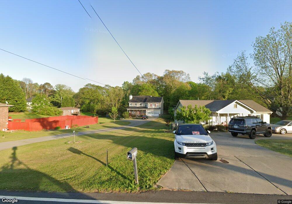
1140 Sugar Hill Rd Buford, GA 30518
Estimated Value: $420,000 - $511,000
4
Beds
3
Baths
2,202
Sq Ft
$207/Sq Ft
Est. Value
About This Home
This home is located at 1140 Sugar Hill Rd, Buford, GA 30518 and is currently estimated at $456,659, approximately $207 per square foot. 1140 Sugar Hill Rd is a home located in Gwinnett County with nearby schools including Buford Elementary School, Buford Senior Academy, and Buford Academy.
Ownership History
Date
Name
Owned For
Owner Type
Purchase Details
Closed on
Oct 19, 2011
Sold by
Secretary Of Housing And U
Bought by
Hall Lori D
Current Estimated Value
Home Financials for this Owner
Home Financials are based on the most recent Mortgage that was taken out on this home.
Original Mortgage
$66,560
Outstanding Balance
$45,718
Interest Rate
4.4%
Mortgage Type
FHA
Estimated Equity
$410,941
Purchase Details
Closed on
Sep 7, 2010
Sold by
Chase Hm Fin Llc
Bought by
Hud-Housing Of Urban Dev
Create a Home Valuation Report for This Property
The Home Valuation Report is an in-depth analysis detailing your home's value as well as a comparison with similar homes in the area
Home Values in the Area
Average Home Value in this Area
Purchase History
| Date | Buyer | Sale Price | Title Company |
|---|---|---|---|
| Hall Lori D | $66,001 | -- | |
| Hud-Housing Of Urban Dev | -- | -- | |
| Chase Hm Fin Llc | $248,826 | -- |
Source: Public Records
Mortgage History
| Date | Status | Borrower | Loan Amount |
|---|---|---|---|
| Open | Hall Lori D | $66,560 |
Source: Public Records
Tax History Compared to Growth
Tax History
| Year | Tax Paid | Tax Assessment Tax Assessment Total Assessment is a certain percentage of the fair market value that is determined by local assessors to be the total taxable value of land and additions on the property. | Land | Improvement |
|---|---|---|---|---|
| 2025 | $751 | $205,200 | $40,000 | $165,200 |
| 2024 | $751 | $204,160 | $33,600 | $170,560 |
| 2023 | $751 | $146,680 | $26,000 | $120,680 |
| 2022 | $751 | $146,680 | $26,000 | $120,680 |
| 2021 | $751 | $107,280 | $16,800 | $90,480 |
| 2020 | $751 | $107,280 | $16,800 | $90,480 |
| 2019 | $678 | $101,560 | $16,800 | $84,760 |
| 2018 | $678 | $63,240 | $5,600 | $57,640 |
| 2016 | $673 | $63,240 | $5,600 | $57,640 |
| 2015 | $697 | $63,240 | $5,600 | $57,640 |
| 2014 | $665 | $58,840 | $5,600 | $53,240 |
Source: Public Records
Map
Nearby Homes
- 4862 White St
- The Murphy Plan at White Street
- 4864 White St
- 4860 White St
- 175 Old Swimming Pool Rd
- 4993 Glencliff Dr
- 1567 Maplecliff Way
- 155 Rowe St
- 1230 Ainsworth Alley Unit Lot 34
- 1242 Ainsworth Alley Unit Lot 40
- 120 Poplar St
- 619 Garner St
- 1135 W Roberts Dr
- 150 Wilbanks St
- 1091 Level Creek Rd
- Rooftop Collection Plan at Skyview on Broad
- Homestead Collection Plan at Skyview on Broad
- 140 Wilbanks St
- 0 Sugar Hill Rd Unit 8494334
- 1150 Sugar Hill Rd
- 1120 Sugar Hill Rd
- 125 Westbrook St
- 1170 Sugar Hill Rd
- 1180 Sugar Hill Rd
- 110 Line St
- 1110 Sugar Hill Rd
- 130 Line St
- 4902 White St
- 140 Line St
- 135 Westbrook St
- 1517 Railroad Ave
- 136 Westbrook St
- 126 Westbrook St
- 0 White St Unit 7083275
- 146 Line St
- 104 Westbrook St
- 146 Westbrook St NE
- 4892 White St