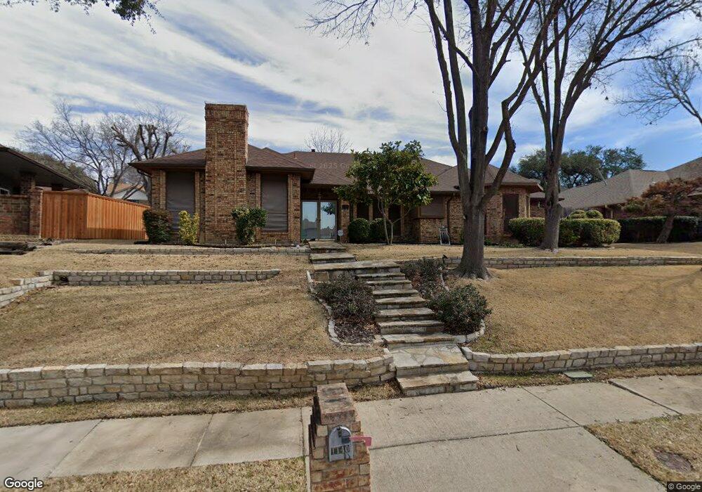
1140 Yorkshire Dr Carrollton, TX 75007
Northwest Carrollton NeighborhoodEstimated Value: $412,562 - $474,000
--
Bed
2
Baths
1,894
Sq Ft
$236/Sq Ft
Est. Value
About This Home
This home is located at 1140 Yorkshire Dr, Carrollton, TX 75007 and is currently estimated at $446,891, approximately $235 per square foot. 1140 Yorkshire Dr is a home located in Denton County with nearby schools including Kent Elementary School, Blalack Middle School, and Creekview High School.
Ownership History
Date
Name
Owned For
Owner Type
Purchase Details
Closed on
Mar 27, 2024
Sold by
Wing Phillip and Wing Vivien
Bought by
Wing Yue Chid and Wing Vivien
Current Estimated Value
Purchase Details
Closed on
Nov 24, 1997
Sold by
Kucukhaliloglu Ali Fehmi and Kucukhaliloglu E
Bought by
Wing Phillip and Wing Vivien
Home Financials for this Owner
Home Financials are based on the most recent Mortgage that was taken out on this home.
Original Mortgage
$88,000
Interest Rate
7.31%
Create a Home Valuation Report for This Property
The Home Valuation Report is an in-depth analysis detailing your home's value as well as a comparison with similar homes in the area
Home Values in the Area
Average Home Value in this Area
Purchase History
| Date | Buyer | Sale Price | Title Company |
|---|---|---|---|
| Wing Yue Chid | -- | None Listed On Document | |
| Wing Phillip | -- | -- |
Source: Public Records
Mortgage History
| Date | Status | Borrower | Loan Amount |
|---|---|---|---|
| Previous Owner | Wing Phillip | $88,000 |
Source: Public Records
Tax History Compared to Growth
Tax History
| Year | Tax Paid | Tax Assessment Tax Assessment Total Assessment is a certain percentage of the fair market value that is determined by local assessors to be the total taxable value of land and additions on the property. | Land | Improvement |
|---|---|---|---|---|
| 2025 | $1,443 | $398,055 | $98,670 | $299,385 |
| 2024 | $6,228 | $364,156 | $0 | $0 |
| 2023 | $1,312 | $331,051 | $98,670 | $311,356 |
| 2022 | $5,787 | $300,955 | $98,670 | $221,859 |
| 2021 | $5,656 | $273,595 | $80,730 | $192,865 |
| 2020 | $5,196 | $249,394 | $80,730 | $168,664 |
| 2019 | $5,237 | $239,093 | $80,730 | $168,665 |
| 2018 | $4,822 | $217,357 | $80,730 | $142,250 |
| 2017 | $4,434 | $197,597 | $62,790 | $149,102 |
| 2016 | $2,299 | $179,634 | $35,880 | $155,480 |
| 2015 | $2,133 | $163,304 | $35,880 | $139,468 |
| 2013 | -- | $139,649 | $35,880 | $103,769 |
Source: Public Records
Map
Nearby Homes
- 1129 Yorkshire Dr
- 1113 Derbyshire Ln
- 1211 Mackie Dr
- 2813 Staffordshire Dr
- 2706 Brookshire Dr
- 1203 Sycamore Dr
- 1020 Nottingham Dr
- 1036 Clinton St
- 1008 Nottingham Dr
- 1002 Nottingham Dr
- 3102 Aspen
- 3103 Birch Dr
- 3110 Glenmere Ct
- 1220 W Trinity Mills Rd Unit 5004
- 1220 W Trinity Mills Rd Unit 2007
- 1220 W Trinity Mills Rd Unit 2011
- 1009 Peacock Blvd
- 1100 W Trinity Mills Rd Unit 3032
- 1100 W Trinity Mills Rd Unit 2006
- 1100 W Trinity Mills Rd Unit 1014
- 1138 Yorkshire Dr
- 1142 Yorkshire Dr
- 1134 Yorkshire Dr
- 1139 Derbyshire Place
- 1149 Yorkshire Dr
- 1147 Yorkshire Dr
- 1132 Yorkshire Dr
- 1141 Derbyshire Place
- 1145 Yorkshire Dr
- 1137 Derbyshire Place
- 1200 Derbyshire Ln
- 1130 Yorkshire Dr
- 1206 Derbyshire Ln
- 1139 Yorkshire Dr
- 1208 Derbyshire Ln
- 1204 Derbyshire Ln
- 1137 Yorkshire Dr
- 1143 Yorkshire Dr
- 2814 Cambridgeshire Dr
- 2812 Cambridgeshire Dr