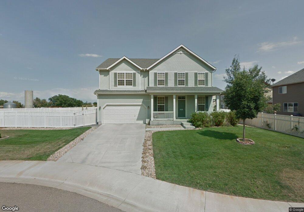
11400 Coal Mine St Firestone, CO 80504
Estimated Value: $595,685 - $632,000
5
Beds
3
Baths
2,790
Sq Ft
$221/Sq Ft
Est. Value
About This Home
This home is located at 11400 Coal Mine St, Firestone, CO 80504 and is currently estimated at $615,921, approximately $220 per square foot. 11400 Coal Mine St is a home located in Weld County with nearby schools including Centennial Elementary School, Coal Ridge Middle School, and Mead High School.
Ownership History
Date
Name
Owned For
Owner Type
Purchase Details
Closed on
Mar 21, 2011
Sold by
Wilkinson Timothy C and Wilkinson Heidi L
Bought by
Mcbride Kelly K and Mcbride Diane P
Current Estimated Value
Home Financials for this Owner
Home Financials are based on the most recent Mortgage that was taken out on this home.
Original Mortgage
$224,161
Outstanding Balance
$153,948
Interest Rate
4.78%
Mortgage Type
VA
Estimated Equity
$461,973
Purchase Details
Closed on
Aug 12, 2005
Sold by
Neumann Homes Of Colorado Llc
Bought by
Wilkinson Timothy C and Wilkinson Heidi L
Home Financials for this Owner
Home Financials are based on the most recent Mortgage that was taken out on this home.
Original Mortgage
$238,468
Interest Rate
5.61%
Mortgage Type
Fannie Mae Freddie Mac
Create a Home Valuation Report for This Property
The Home Valuation Report is an in-depth analysis detailing your home's value as well as a comparison with similar homes in the area
Home Values in the Area
Average Home Value in this Area
Purchase History
| Date | Buyer | Sale Price | Title Company |
|---|---|---|---|
| Mcbride Kelly K | $217,000 | Fidelity National Title Insu | |
| Wilkinson Timothy C | $298,085 | Land Title Guarantee Company |
Source: Public Records
Mortgage History
| Date | Status | Borrower | Loan Amount |
|---|---|---|---|
| Open | Mcbride Kelly K | $224,161 | |
| Previous Owner | Wilkinson Timothy C | $238,468 |
Source: Public Records
Tax History Compared to Growth
Tax History
| Year | Tax Paid | Tax Assessment Tax Assessment Total Assessment is a certain percentage of the fair market value that is determined by local assessors to be the total taxable value of land and additions on the property. | Land | Improvement |
|---|---|---|---|---|
| 2025 | $2,935 | $36,470 | $7,380 | $29,090 |
| 2024 | $2,935 | $36,470 | $7,380 | $29,090 |
| 2023 | $2,816 | $38,880 | $7,980 | $30,900 |
| 2022 | $2,444 | $30,310 | $5,630 | $24,680 |
| 2021 | $3,201 | $31,180 | $5,790 | $25,390 |
| 2020 | $2,976 | $29,220 | $4,290 | $24,930 |
| 2019 | $3,020 | $29,220 | $4,290 | $24,930 |
| 2018 | $2,701 | $27,120 | $4,320 | $22,800 |
| 2017 | $2,760 | $27,120 | $4,320 | $22,800 |
| 2016 | $2,546 | $24,610 | $4,460 | $20,150 |
| 2015 | $2,468 | $24,610 | $4,460 | $20,150 |
| 2014 | $2,098 | $20,940 | $3,260 | $17,680 |
Source: Public Records
Map
Nearby Homes
- 11449 Coal Ridge St
- 5891 Vinca Ave
- 11150 Coal Mine St
- 6055 Ulysses Ave
- 6166 Valley Vista Ave
- 6188 Viewpoint Ave
- 6183 Union Ct
- 6188 Twilight Ave
- 11226 Dover St
- 10905 Colorado Blvd
- 10818 Cimarron St Unit 302
- 10818 Cimarron St Unit 1102
- 10818 Cimarron St Unit 1203
- 10818 Cimarron St Unit 307
- 11430 Ebony St
- 11470 Ebony St
- 11232 Ebony St
- 6446 Union Ave
- 5767 Pelican Shores Dr
- 10497 Booth Dr
- 11421 Coal Ridge St
- 11407 Coal Ridge St
- 5861 Mountain Shadows Blvd
- 5873 Mt Shadows Blvd
- 11393 Coal Ridge St
- 11431 Coal Ridge St
- 11413 Coal Mine St
- 5887 Mt Shadows Blvd
- 11441 Coal Ridge St
- 5833 Mt Shadows Blvd
- 11395 Coal Mine St
- 11407 Coal Mine St
- 5862 Mt Shadows Blvd
- 5828 Vine Ave
- 5819 Mt Shadows Blvd
- 5874 Mt Shadows Blvd
- 11430 Coal Ridge St
- 5854 Mt Shadows Blvd
- 5915 Mt Shadows Blvd
- 11420 Coal Ridge St