11400 Grant Rd Montgomery, MI 49255
Estimated Value: $214,293 - $394,000
--
Bed
2
Baths
1,134
Sq Ft
$235/Sq Ft
Est. Value
About This Home
This home is located at 11400 Grant Rd, Montgomery, MI 49255 and is currently estimated at $266,823, approximately $235 per square foot. 11400 Grant Rd is a home located in Hillsdale County with nearby schools including Camden-Frontier K-8 School, Camden-Frontier High School, and Ridgeview Camden School.
Ownership History
Date
Name
Owned For
Owner Type
Purchase Details
Closed on
Jun 24, 1998
Sold by
Wilcox Randy R and Wilcox Robbin N
Bought by
Slomers Harry and Slomers Barbara
Current Estimated Value
Purchase Details
Closed on
May 24, 1998
Sold by
Wilcox Randy R and Wilcox Robbin R
Bought by
Slomers Harry T and Slomers Barbara
Create a Home Valuation Report for This Property
The Home Valuation Report is an in-depth analysis detailing your home's value as well as a comparison with similar homes in the area
Home Values in the Area
Average Home Value in this Area
Purchase History
| Date | Buyer | Sale Price | Title Company |
|---|---|---|---|
| Slomers Harry | $105,000 | -- | |
| Slomers Harry T | $105,000 | -- |
Source: Public Records
Tax History Compared to Growth
Tax History
| Year | Tax Paid | Tax Assessment Tax Assessment Total Assessment is a certain percentage of the fair market value that is determined by local assessors to be the total taxable value of land and additions on the property. | Land | Improvement |
|---|---|---|---|---|
| 2025 | $1,322 | $92,200 | $0 | $0 |
| 2024 | $598 | $100,200 | $0 | $0 |
| 2023 | $570 | $90,000 | $0 | $0 |
| 2022 | $1,200 | $75,700 | $0 | $0 |
| 2021 | $1,163 | $66,800 | $0 | $0 |
| 2020 | $1,180 | $62,700 | $0 | $0 |
| 2019 | $1,142 | $56,500 | $0 | $0 |
| 2018 | $1,088 | $45,300 | $0 | $0 |
| 2017 | $1,099 | $49,060 | $0 | $0 |
| 2016 | $1,093 | $47,030 | $0 | $0 |
| 2015 | $515 | $47,030 | $0 | $0 |
| 2013 | $499 | $46,250 | $0 | $0 |
| 2012 | $487 | $44,450 | $0 | $0 |
Source: Public Records
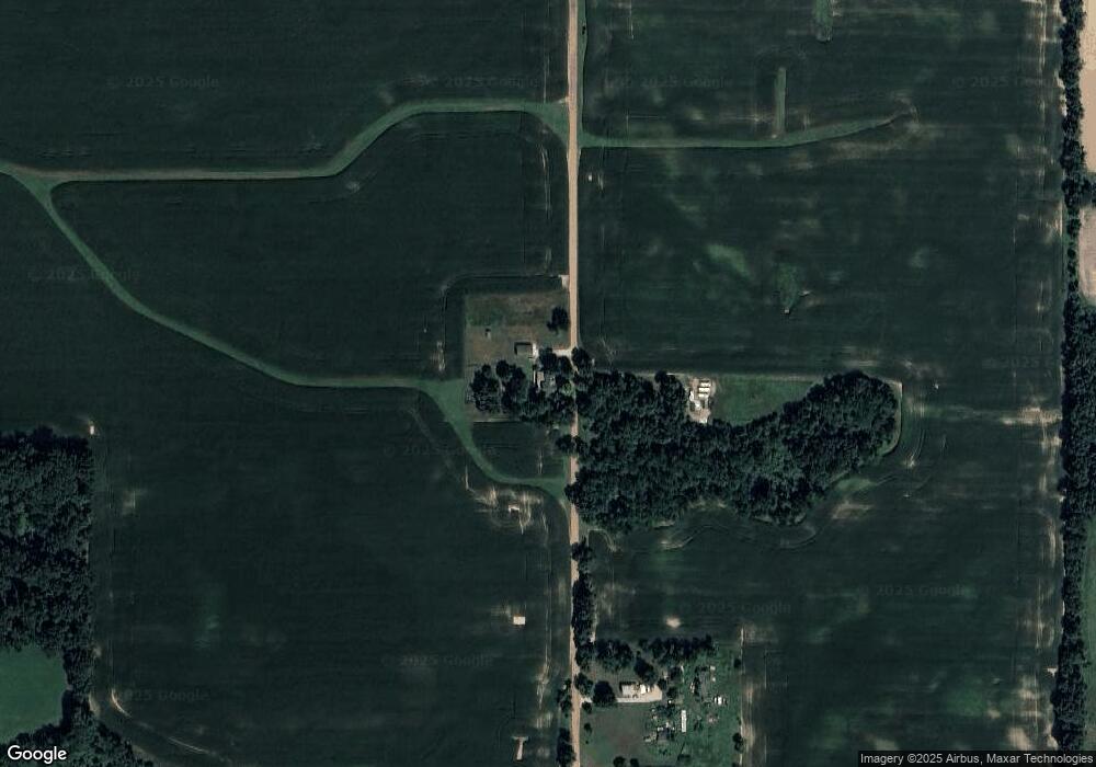
Map
Nearby Homes
- 9677 W Camden Rd
- 115 N Michigan St
- 219 N Hayward St
- 107 Mary St
- 6524 W Montgomery Rd
- 9949 Indian Trail
- 7841 Topinabee Dr
- V/L Delmar Rd
- 6430 E 784 N
- 5050 N 725 E
- 7950 E 400 N
- 0 Dimmers Rd
- 0 W Territorial Rd Unit 25043960
- 0 W Territorial Rd Unit 11603977
- 18405 County Road 2-50
- 7944 Gilmore Rd
- 0 W Silver St Unit 25044322
- 309 S Main St
- 5411 Lilac Rd
- 490 Kelley Rd
- 11591 Grant Rd
- 11020 Grant Rd
- 0 Grant Rd
- 11911 Grant Rd
- 8611 Alvord Rd
- 8466 Alvord Rd
- 11980 Grant Rd
- 8620 W Camden Rd
- 10800 Grant Rd
- 8691 W Camden Rd
- 8831 W Camden Rd
- 8911 W Camden Rd
- 9011 W Camden Rd
- 8480 Alvord Rd
- 9126 W Camden Rd
- 9150 W Camden Rd
- 8500 Alvord Rd
- 8224 Alvord Rd
- 10851 Grant Rd
- 11971 Todd Rd