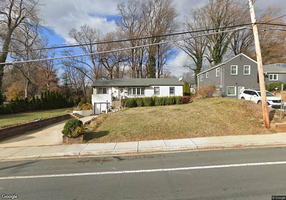
11400 Newport Mill Rd Silver Spring, MD 20902
North Kensington NeighborhoodEstimated Value: $501,549 - $565,000
Studio
1
Bath
1,214
Sq Ft
$450/Sq Ft
Est. Value
About This Home
This home is located at 11400 Newport Mill Rd, Silver Spring, MD 20902 and is currently estimated at $546,887, approximately $450 per square foot. 11400 Newport Mill Rd is a home located in Montgomery County with nearby schools including Rock View Elementary School, Newport Mill Middle School, and Albert Einstein High School.
Ownership History
Date
Name
Owned For
Owner Type
Purchase Details
Closed on
Dec 4, 2020
Sold by
Horner Richard W and Horner Frederick
Bought by
Fernandez Katherine V Sahonero
Current Estimated Value
Home Financials for this Owner
Home Financials are based on the most recent Mortgage that was taken out on this home.
Original Mortgage
$361,600
Interest Rate
2.7%
Mortgage Type
New Conventional
Create a Home Valuation Report for This Property
The Home Valuation Report is an in-depth analysis detailing your home's value as well as a comparison with similar homes in the area
Home Values in the Area
Average Home Value in this Area
Purchase History
| Date | Buyer | Sale Price | Title Company |
|---|---|---|---|
| Fernandez Katherine V Sahonero | $452,000 | Capitol Settlements Llc |
Source: Public Records
Mortgage History
| Date | Status | Borrower | Loan Amount |
|---|---|---|---|
| Previous Owner | Fernandez Katherine V Sahonero | $361,600 |
Source: Public Records
Tax History
| Year | Tax Paid | Tax Assessment Tax Assessment Total Assessment is a certain percentage of the fair market value that is determined by local assessors to be the total taxable value of land and additions on the property. | Land | Improvement |
|---|---|---|---|---|
| 2025 | $5,539 | $440,933 | -- | -- |
| 2024 | $5,539 | $417,600 | $233,800 | $183,800 |
| 2023 | $5,991 | $398,900 | $0 | $0 |
| 2022 | $4,157 | $380,200 | $0 | $0 |
| 2021 | $3,885 | $361,500 | $232,400 | $129,100 |
| 2020 | $7,541 | $354,300 | $0 | $0 |
| 2019 | $3,656 | $347,100 | $0 | $0 |
| 2018 | $3,552 | $339,900 | $232,400 | $107,500 |
| 2017 | $3,686 | $339,900 | $0 | $0 |
| 2016 | $3,318 | $339,900 | $0 | $0 |
| 2015 | $3,318 | $356,100 | $0 | $0 |
| 2014 | $3,318 | $356,100 | $0 | $0 |
Source: Public Records
Map
Nearby Homes
- 3509 Astoria Rd
- 2890 Schoolhouse Cir
- 11814 College View Dr
- 2904 Fenimore Rd
- 11209 Midvale Rd
- 3610 Spruell Dr
- 11006 Madison St
- 3333 University Blvd W Unit 409
- 3355 University Blvd W
- 3355 University Blvd W Unit 206
- 3355 University Blvd W
- 3921 Lantern Dr
- 3027 Medway St
- 2704 Fenimore Rd
- 4008 Adams Dr
- 3007 Medway St
- 3726 Ferrara Dr
- 3720 Ferrara Dr
- 2932 University Blvd W
- 3511 Decatur Ave
- 11402 Newport Mill Rd
- 11324 Newport Mill Rd
- 11404 Newport Mill Rd
- 11501 Regnid Dr
- 11503 Regnid Dr
- 11406 Newport Mill Rd
- 11322 Newport Mill Rd
- 11505 Regnid Dr
- 11506 Highview Ave
- 11508 Highview Ave
- 11519 Kenton Dr
- 11507 Regnid Dr
- 11407 Newport Mill Rd
- 11320 Newport Mill Rd
- 11408 Newport Mill Rd
- 11409 Newport Mill Rd
- 11509 Regnid Dr
- 11510 Highview Ave
- 11318 Newport Mill Rd
- 11413 Newport Mill Rd
Your Personal Tour Guide
Ask me questions while you tour the home.