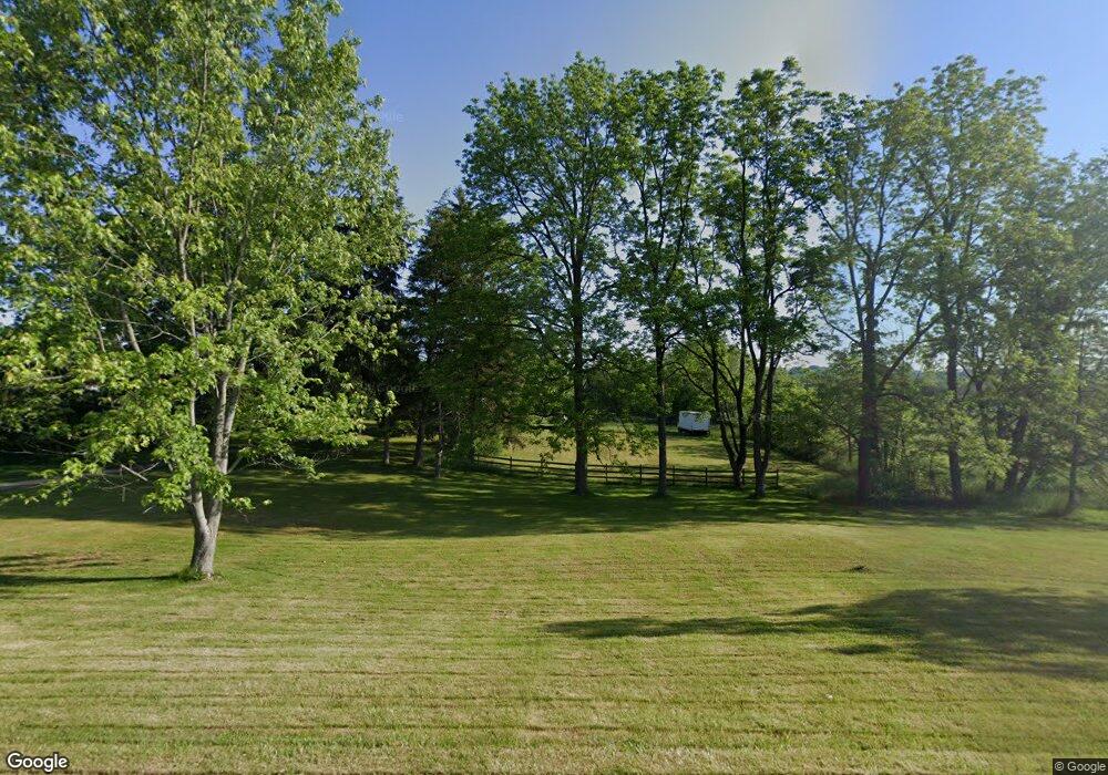
11403 Shaefer St NW Massillon, OH 44647
West Brookfield NeighborhoodEstimated Value: $319,000 - $390,000
4
Beds
2
Baths
2,480
Sq Ft
$141/Sq Ft
Est. Value
About This Home
This home is located at 11403 Shaefer St NW, Massillon, OH 44647 and is currently estimated at $348,847, approximately $140 per square foot. 11403 Shaefer St NW is a home located in Stark County with nearby schools including Massillon Intermediate School, Massillon Junior High School, and Washington High School.
Ownership History
Date
Name
Owned For
Owner Type
Purchase Details
Closed on
Nov 22, 2011
Sold by
Oberly Janice
Bought by
Garrett Charles N and Garrett Sherry D
Current Estimated Value
Purchase Details
Closed on
Nov 7, 1995
Sold by
Newstetter David
Bought by
Oberly Larry L and Oberly Janice
Home Financials for this Owner
Home Financials are based on the most recent Mortgage that was taken out on this home.
Original Mortgage
$173,400
Interest Rate
8%
Mortgage Type
VA
Create a Home Valuation Report for This Property
The Home Valuation Report is an in-depth analysis detailing your home's value as well as a comparison with similar homes in the area
Home Values in the Area
Average Home Value in this Area
Purchase History
| Date | Buyer | Sale Price | Title Company |
|---|---|---|---|
| Garrett Charles N | $155,000 | None Available | |
| Oberly Larry L | $170,000 | -- |
Source: Public Records
Mortgage History
| Date | Status | Borrower | Loan Amount |
|---|---|---|---|
| Previous Owner | Oberly Larry L | $173,400 |
Source: Public Records
Tax History Compared to Growth
Tax History
| Year | Tax Paid | Tax Assessment Tax Assessment Total Assessment is a certain percentage of the fair market value that is determined by local assessors to be the total taxable value of land and additions on the property. | Land | Improvement |
|---|---|---|---|---|
| 2025 | $2,372 | $94,430 | $46,130 | $48,300 |
| 2024 | -- | $94,430 | $46,130 | $48,300 |
| 2023 | $3,784 | $73,080 | $30,100 | $42,980 |
| 2022 | $1,894 | $73,080 | $30,100 | $42,980 |
| 2021 | $3,849 | $73,080 | $30,100 | $42,980 |
| 2020 | $3,323 | $59,050 | $24,710 | $34,340 |
| 2019 | $3,221 | $59,070 | $24,720 | $34,350 |
| 2018 | $3,203 | $59,070 | $24,720 | $34,350 |
| 2017 | $3,094 | $52,760 | $21,900 | $30,860 |
| 2016 | $3,146 | $52,760 | $21,900 | $30,860 |
| 2015 | $3,109 | $52,760 | $21,900 | $30,860 |
| 2014 | $1,120 | $51,480 | $21,320 | $30,160 |
| 2013 | $1,566 | $51,480 | $21,320 | $30,160 |
Source: Public Records
Map
Nearby Homes
- 3069 Castle West Cir NW
- TBD Washington Ave NW
- 166 Rolling Park Dr N
- 3130 Lincoln Way W
- 2790 Lee Ave NW
- 1303 Bison St NW
- 3575 Kenyon Creek Ave NW
- 3564 Kenyon Creek Ave NW
- 576 23rd St NW
- 0 Wood Creek Cir
- 517 Grosvenor Ave NW
- 540 Carver St NW
- 123 26th St NW
- 1350 Alpha St NW
- 1306 Alpha St NW
- 4839 Raya Dr NW
- 2224 Main Ave W
- 1752 Leslie St NW
- 728 Hillside Place SW
- 982 Lanedale St NW
- 1326 Deermont Ave NW
- 1444 Deermont Ave NW
- 1314 Deermont Ave NW
- 11457 Shaefer St NW
- 1292 Deermont Ave NW
- 0 Shaefer St NW
- 11325 Shaefer St NW
- 1387 Deermont Ave NW
- 1327 Deermont Ave NW
- 1278 Deermont Ave NW
- 1313 Deermont Ave NW
- 1268 Deermont Ave NW
- 1373 Deermont Ave NW
- 11291 Shaefer St NW
- 1260 Deermont Ave NW
- 1261 Deermont Ave NW
- 1228 Deermont Ave NW
- 1210 Deermont Ave NW
- 1501 Deermont Ave NW
- 1457 Deermont Ave NW
