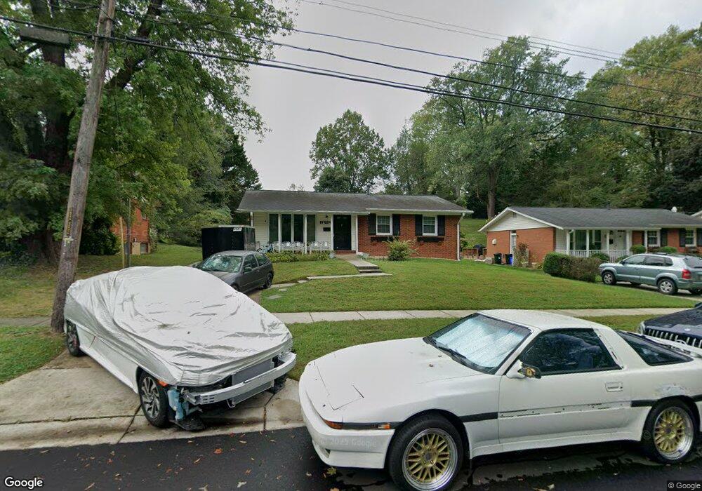
11404 Soward Dr Kensington, MD 20895
North Kensington NeighborhoodEstimated Value: $553,262 - $661,000
--
Bed
3
Baths
1,107
Sq Ft
$561/Sq Ft
Est. Value
About This Home
This home is located at 11404 Soward Dr, Kensington, MD 20895 and is currently estimated at $620,566, approximately $560 per square foot. 11404 Soward Dr is a home located in Montgomery County with nearby schools including Mancelona Middle School, Rock View Elementary School, and Newport Mill Middle School.
Ownership History
Date
Name
Owned For
Owner Type
Purchase Details
Closed on
Feb 10, 2018
Sold by
Luskie Edward J and Luskie Guy E
Bought by
Lusksic Edward J and Lusksic David N
Current Estimated Value
Purchase Details
Closed on
Jun 29, 2017
Sold by
Luksie David N and Estate Of Edward Joseph Luksie
Bought by
Luksic David Noel and Luksic Lisa
Home Financials for this Owner
Home Financials are based on the most recent Mortgage that was taken out on this home.
Original Mortgage
$281,250
Interest Rate
3.96%
Mortgage Type
New Conventional
Create a Home Valuation Report for This Property
The Home Valuation Report is an in-depth analysis detailing your home's value as well as a comparison with similar homes in the area
Home Values in the Area
Average Home Value in this Area
Purchase History
| Date | Buyer | Sale Price | Title Company |
|---|---|---|---|
| Lusksic Edward J | -- | None Available | |
| Luksic David Noel | $375,000 | None Available |
Source: Public Records
Mortgage History
| Date | Status | Borrower | Loan Amount |
|---|---|---|---|
| Previous Owner | Luksic David Noel | $281,250 |
Source: Public Records
Tax History Compared to Growth
Tax History
| Year | Tax Paid | Tax Assessment Tax Assessment Total Assessment is a certain percentage of the fair market value that is determined by local assessors to be the total taxable value of land and additions on the property. | Land | Improvement |
|---|---|---|---|---|
| 2025 | $5,756 | $458,800 | -- | -- |
| 2024 | $5,756 | $436,500 | $229,000 | $207,500 |
| 2023 | $5,666 | $430,733 | $0 | $0 |
| 2022 | $5,343 | $424,967 | $0 | $0 |
| 2021 | $5,213 | $419,200 | $227,500 | $191,700 |
| 2020 | $5,041 | $406,733 | $0 | $0 |
| 2019 | $4,868 | $394,267 | $0 | $0 |
| 2018 | $4,707 | $381,800 | $227,500 | $154,300 |
| 2017 | $3,754 | $363,833 | $0 | $0 |
| 2016 | -- | $345,867 | $0 | $0 |
| 2015 | $3,388 | $327,900 | $0 | $0 |
| 2014 | $3,388 | $327,900 | $0 | $0 |
Source: Public Records
Map
Nearby Homes
- 11403 Mapleview Dr
- 11409 Mapleview Dr
- 11006 Madison St
- 3905 Halsey St
- 11411 Cam Ct
- 11310 Norris Dr
- 3915 Rickover Rd
- 3922 Denfeld Ct
- 3419 University Blvd W Unit 102
- 3421 University Blvd W Unit 3421-302
- 11603 Veirs Mill Rd
- 3355 University Blvd W Unit 206
- 3333 University Blvd W Unit 1008
- 3511 Decatur Ave
- 3722 Lawrence Ave
- 3923 Lantern Dr
- 2890 Schoolhouse Cir
- 3306 Pendleton Dr
- 11214 Midvale Rd
- 3600 Decatur Ave
- 11402 Soward Dr
- 11406 Soward Dr
- 11214 Lund Place
- 11408 Soward Dr
- 11308 Lund Place
- 11304 Lund Place
- 11410 Soward Dr
- 11216 Lund Place
- 11403 Soward Dr
- 11400 Lund Place
- 11405 Soward Dr
- 11412 Soward Dr
- 11407 Soward Dr
- 11409 Soward Dr
- 3511 Stark St
- 11303 Lund Place
- 11402 Lund Place
- 3609 Sandy Ct
- 11414 Soward Dr
- 11411 Soward Dr