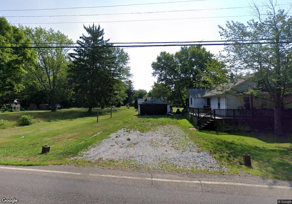
11404 Webb Ave NE Alliance, OH 44601
Estimated Value: $103,000 - $122,000
3
Beds
1
Bath
1,044
Sq Ft
$106/Sq Ft
Est. Value
About This Home
This home is located at 11404 Webb Ave NE, Alliance, OH 44601 and is currently estimated at $111,169, approximately $106 per square foot. 11404 Webb Ave NE is a home located in Stark County with nearby schools including Alliance Early Learning School, Alliance Intermediate School at Northside, and Alliance Middle School.
Ownership History
Date
Name
Owned For
Owner Type
Purchase Details
Closed on
Sep 29, 2022
Sold by
Simons Richard K
Bought by
Warelam Twila and Simons Richard K
Current Estimated Value
Purchase Details
Closed on
Jul 30, 2002
Sold by
Thomas Donna E and Sykes Darlene T
Bought by
Simons R Kevin and Vickers Arlene R
Home Financials for this Owner
Home Financials are based on the most recent Mortgage that was taken out on this home.
Original Mortgage
$36,000
Interest Rate
6.7%
Mortgage Type
Purchase Money Mortgage
Purchase Details
Closed on
Jun 14, 2002
Sold by
Richard Joyce J
Bought by
Thomas Donna E and Sykes Darlene T
Home Financials for this Owner
Home Financials are based on the most recent Mortgage that was taken out on this home.
Original Mortgage
$36,000
Interest Rate
6.7%
Mortgage Type
Purchase Money Mortgage
Purchase Details
Closed on
Apr 12, 2002
Sold by
Estate Of Edna S Tull
Bought by
Richard Joyce J
Create a Home Valuation Report for This Property
The Home Valuation Report is an in-depth analysis detailing your home's value as well as a comparison with similar homes in the area
Home Values in the Area
Average Home Value in this Area
Purchase History
| Date | Buyer | Sale Price | Title Company |
|---|---|---|---|
| Warelam Twila | -- | -- | |
| Simons R Kevin | $45,000 | -- | |
| Thomas Donna E | -- | -- | |
| Richard Joyce J | -- | -- |
Source: Public Records
Mortgage History
| Date | Status | Borrower | Loan Amount |
|---|---|---|---|
| Previous Owner | Simons R Kevin | $36,000 | |
| Closed | Simons R Kevin | $9,000 |
Source: Public Records
Tax History Compared to Growth
Tax History
| Year | Tax Paid | Tax Assessment Tax Assessment Total Assessment is a certain percentage of the fair market value that is determined by local assessors to be the total taxable value of land and additions on the property. | Land | Improvement |
|---|---|---|---|---|
| 2025 | -- | $29,970 | $15,300 | $14,670 |
| 2024 | -- | $29,970 | $15,300 | $14,670 |
| 2023 | $872 | $20,410 | $5,600 | $14,810 |
| 2022 | $877 | $20,410 | $5,600 | $14,810 |
| 2021 | $878 | $20,410 | $5,600 | $14,810 |
| 2020 | $795 | $17,080 | $4,830 | $12,250 |
| 2019 | $785 | $17,080 | $4,830 | $12,250 |
| 2018 | $788 | $17,080 | $4,830 | $12,250 |
| 2017 | $722 | $14,500 | $3,570 | $10,930 |
| 2016 | $785 | $15,650 | $3,190 | $12,460 |
| 2015 | $379 | $15,650 | $3,190 | $12,460 |
| 2014 | $732 | $14,260 | $2,910 | $11,350 |
| 2013 | $363 | $14,260 | $2,910 | $11,350 |
Source: Public Records
Map
Nearby Homes
- 11310 Webb Ave NE
- 15995 Elbrook St NE
- 11344 Walnut Ave NE
- 11680 Walnut Ave NE
- 652 N Webb Ave
- 124 E Wayne St
- 263 Franklin Ave
- 710 N Freedom Ave
- 1214 Jersey St
- 361 E Main St
- 142 S Seneca Ave
- 356 E Broadway St
- V/L S Fredeom Ave
- 442 S Liberty Ave
- 432 S Linden Ave
- 163 W Market St
- 511 W Ely St
- 14723 Bolton St NE
- 0 Meadowbrook Ave
- 329 1/2 W Main St
- 11430 Webb Ave NE
- 11380 Webb Ave NE
- 11448 Webb Ave NE
- 11417 Holly Ave NE
- 11417 Holly Ave NE
- 11417 Holly Ave NE
- 11417 Holly Ave NE
- 11379 Webb Ave NE
- 11377 Holly Ave NE
- 11456 Webb Ave NE
- 11371 Webb Ave NE
- 11445 Webb Ave NE
- 11445 Webb Ave NE
- 11445 Webb Ave NE
- 11350 Webb Ave NE
- 11480 Webb Ave NE
- 15832 Waverly St NE
- 11340 Webb Ave NE
- 11345 Holly Ave NE
- 15970 Elbrook St NE