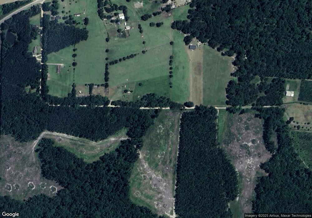
1141 Borden Ln Whigham, GA 39897
Estimated Value: $245,000 - $477,000
3
Beds
2
Baths
1,800
Sq Ft
$193/Sq Ft
Est. Value
About This Home
This home is located at 1141 Borden Ln, Whigham, GA 39897 and is currently estimated at $347,501, approximately $193 per square foot. 1141 Borden Ln is a home.
Ownership History
Date
Name
Owned For
Owner Type
Purchase Details
Closed on
Jan 28, 2021
Sold by
Smith Brandie R
Bought by
Ward Robin B
Current Estimated Value
Purchase Details
Closed on
Sep 30, 2013
Sold by
Ward Robin B
Bought by
Ward Robin B and Ward Brandle Reaves
Home Financials for this Owner
Home Financials are based on the most recent Mortgage that was taken out on this home.
Original Mortgage
$141,550
Interest Rate
4.53%
Mortgage Type
New Conventional
Purchase Details
Closed on
Nov 12, 2002
Bought by
Ward Robin B
Purchase Details
Closed on
Sep 14, 1993
Bought by
Ward Robin B
Create a Home Valuation Report for This Property
The Home Valuation Report is an in-depth analysis detailing your home's value as well as a comparison with similar homes in the area
Home Values in the Area
Average Home Value in this Area
Purchase History
| Date | Buyer | Sale Price | Title Company |
|---|---|---|---|
| Ward Robin B | -- | -- | |
| Ward Robin B | -- | -- | |
| Ward Robin B | -- | -- | |
| Ward Robin B | $14,500 | -- |
Source: Public Records
Mortgage History
| Date | Status | Borrower | Loan Amount |
|---|---|---|---|
| Previous Owner | Ward Robin B | $141,550 |
Source: Public Records
Tax History Compared to Growth
Tax History
| Year | Tax Paid | Tax Assessment Tax Assessment Total Assessment is a certain percentage of the fair market value that is determined by local assessors to be the total taxable value of land and additions on the property. | Land | Improvement |
|---|---|---|---|---|
| 2024 | $2,733 | $98,225 | $13,469 | $84,756 |
| 2023 | $2,105 | $75,419 | $10,251 | $65,168 |
| 2022 | $2,124 | $76,118 | $10,251 | $65,867 |
| 2021 | $2,129 | $76,118 | $10,251 | $65,867 |
| 2020 | $2,057 | $76,118 | $10,251 | $65,867 |
| 2019 | $2,055 | $76,118 | $10,251 | $65,867 |
| 2018 | $1,927 | $76,118 | $10,251 | $65,867 |
| 2017 | $1,550 | $76,118 | $10,251 | $65,867 |
| 2016 | $1,550 | $65,664 | $10,251 | $55,413 |
| 2015 | $1,529 | $65,664 | $10,251 | $55,413 |
| 2014 | $1,539 | $66,018 | $10,251 | $55,767 |
| 2013 | -- | $23,320 | $15,300 | $8,020 |
Source: Public Records
Map
Nearby Homes
- 00 Tired Creek Rd
- 316 Faircloth Rd
- 1718 Old 179 S
- 171 Council Ln
- 000 Magnolia Dr NW
- 723 Providence Rd
- 267 Providence Rd
- 4761 Hadley Ferry Road (428+ - Acres)
- 7501 111 S
- 3695 Tired Creek Rd
- 4103 Hadley Ferry Rd
- 165 Larkin St
- 206 Lodge Ln
- 786 Madison Ln
- 490 13th St SW
- 130 17th Ave SE
- 1854 Lakewood Dr SE
- 1870 Oakdale Rd SE
- 1385 Martin Luther King Junior Ave
- 198 Oakdale Rd SE
- 00 Borden Ln
- 1415 Tired Creek Rd
- 1505 Tired Creek Rd
- 1404 Tired Creek Rd
- 295 Simmons Dr
- 1545 Tired Creek Rd
- 956 Borden Ln
- 1200 Borden Ln
- 1235 Tired Creek Rd
- 1632 Tired Creek Rd
- 1179 Tired Creek Rd
- 1179 Tired Creek Rd
- 811 Borden Rd
- 1261 Tired Creek Rd
- 1306 Tired Creek Rd
- 1636 Tired Creek Rd
- 780 Borden Rd
- 770 Borden Rd
- 777 Borden Rd
- 279 Strickland Rd
