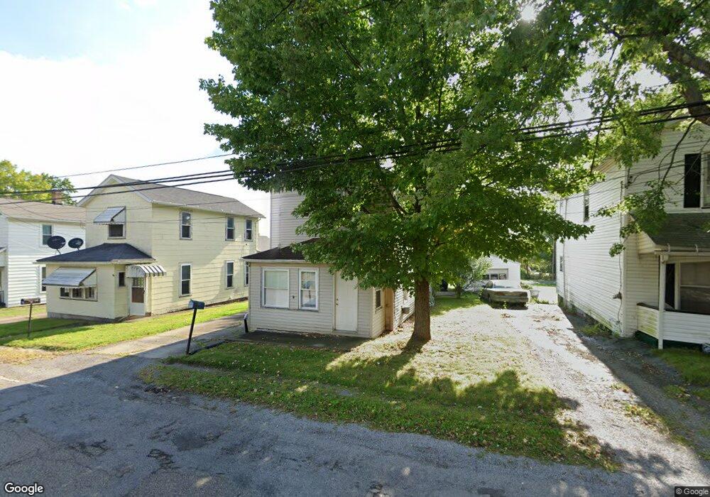
1141 Broadway St Masury, OH 44438
Estimated Value: $41,000 - $81,000
2
Beds
1
Bath
1,022
Sq Ft
$61/Sq Ft
Est. Value
About This Home
This home is located at 1141 Broadway St, Masury, OH 44438 and is currently estimated at $62,129, approximately $60 per square foot. 1141 Broadway St is a home with nearby schools including Brookfield Elementary School, Brookfield Middle School, and Brookfield High School.
Ownership History
Date
Name
Owned For
Owner Type
Purchase Details
Closed on
Aug 25, 2022
Sold by
Dobay Locke D
Bought by
Ser Raymond A
Current Estimated Value
Home Financials for this Owner
Home Financials are based on the most recent Mortgage that was taken out on this home.
Original Mortgage
$31,224
Outstanding Balance
$28,428
Interest Rate
5.51%
Mortgage Type
FHA
Estimated Equity
$33,701
Purchase Details
Closed on
Jan 1, 1990
Bought by
Ronald Ronald A and Ronald Muriel L
Create a Home Valuation Report for This Property
The Home Valuation Report is an in-depth analysis detailing your home's value as well as a comparison with similar homes in the area
Home Values in the Area
Average Home Value in this Area
Purchase History
| Date | Buyer | Sale Price | Title Company |
|---|---|---|---|
| Ser Raymond A | $31,800 | Hoffman And Walker Co Lpa | |
| Ronald Ronald A | -- | -- |
Source: Public Records
Mortgage History
| Date | Status | Borrower | Loan Amount |
|---|---|---|---|
| Open | Ser Raymond A | $31,224 |
Source: Public Records
Tax History Compared to Growth
Tax History
| Year | Tax Paid | Tax Assessment Tax Assessment Total Assessment is a certain percentage of the fair market value that is determined by local assessors to be the total taxable value of land and additions on the property. | Land | Improvement |
|---|---|---|---|---|
| 2024 | $562 | $11,800 | $1,400 | $10,400 |
| 2023 | $562 | $11,800 | $1,400 | $10,400 |
| 2022 | $726 | $12,430 | $1,400 | $11,030 |
| 2021 | $681 | $12,430 | $1,400 | $11,030 |
| 2020 | $677 | $12,430 | $1,400 | $11,030 |
| 2019 | $689 | $11,800 | $1,400 | $10,400 |
| 2018 | $684 | $11,800 | $1,400 | $10,400 |
| 2017 | $733 | $11,800 | $1,400 | $10,400 |
| 2016 | $568 | $9,420 | $1,400 | $8,020 |
| 2015 | $569 | $9,420 | $1,400 | $8,020 |
| 2014 | $936 | $9,420 | $1,400 | $8,020 |
| 2013 | $1,016 | $10,010 | $1,400 | $8,610 |
Source: Public Records
Map
Nearby Homes
- 1354 Stevenson Rd
- 7440 Stewart Sharon Rd
- 928 Bedford Rd
- 7182 Stewart Sharon Rd
- 766 S Irvine Ave
- 545 & 625 Davis St
- 691 S Irvine Ave
- 609 Syme St
- 365 Brookfield Ave
- 1952 Hubbard Masury Rd
- 807 Lee Ave
- 306 Federal St
- 887 State Route 7 SE
- 506 Spearman Ave
- 6855 Stewart Sharon Rd
- 268 Malleable St
- 1120 Wallis Ave
- 626 Fruit Ave
- 641 Fruit Ave
- 6976 White Oak Dr
- 1145 Broadway St
- 1137 Broadway St
- 1149 Broadway St
- 1133 Broadway St
- 1155 Broadway St
- 1143 Fifth St
- 1126 Broadway St
- 1144 Broadway St
- 1117 Broadway St
- 1112 Broadway St
- 1111 & 1117 Broadway
- 1111 Broadway Ave
- 1111 Broadway St
- 1119 Woodland Ave
- 1117 Woodland Ave
- 1117 Woodland Ave
- 1107 Broadway St
- 1100 Broadway Rd
- 1161 Woodland Ave
- 1103 Broadway St