1141 Gresston Baptist Rd Eastman, GA 31023
Estimated Value: $262,000 - $749,299
Studio
2
Baths
3,100
Sq Ft
$149/Sq Ft
Est. Value
About This Home
This home is located at 1141 Gresston Baptist Rd, Eastman, GA 31023 and is currently estimated at $463,433, approximately $149 per square foot. 1141 Gresston Baptist Rd is a home located in Dodge County with nearby schools including Dodge County High School.
Ownership History
Date
Name
Owned For
Owner Type
Purchase Details
Closed on
Jun 16, 2022
Sold by
Harris Gregory Wayne
Bought by
Andrews Michelle Ann
Current Estimated Value
Purchase Details
Closed on
Aug 12, 2021
Sold by
Dominy Christopher Talmadge
Bought by
Harris Gregory W and Andrews Michelle
Purchase Details
Closed on
Apr 21, 2021
Sold by
Dominy Willis Talmadge Estate
Bought by
Dominy Christopher Talmadge
Create a Home Valuation Report for This Property
The Home Valuation Report is an in-depth analysis detailing your home's value as well as a comparison with similar homes in the area
Home Values in the Area
Average Home Value in this Area
Purchase History
| Date | Buyer | Sale Price | Title Company |
|---|---|---|---|
| Andrews Michelle Ann | -- | -- | |
| Harris Gregory W | $617,000 | -- | |
| Dominy Christopher Talmadge | -- | -- |
Source: Public Records
Tax History
| Year | Tax Paid | Tax Assessment Tax Assessment Total Assessment is a certain percentage of the fair market value that is determined by local assessors to be the total taxable value of land and additions on the property. | Land | Improvement |
|---|---|---|---|---|
| 2025 | $4,348 | $202,922 | $31,940 | $170,982 |
| 2024 | $3,407 | $153,894 | $26,784 | $127,110 |
| 2023 | $3,974 | $153,894 | $26,784 | $127,110 |
| 2022 | $3,412 | $183,534 | $62,747 | $120,787 |
| 2021 | $2,298 | $129,488 | $49,942 | $79,546 |
| 2020 | $2,326 | $110,955 | $31,409 | $79,546 |
| 2019 | $2,102 | $101,786 | $31,409 | $70,377 |
| 2018 | $2,601 | $101,786 | $31,409 | $70,377 |
| 2017 | $2,298 | $89,909 | $28,388 | $61,521 |
| 2016 | $1,775 | $89,912 | $28,391 | $61,521 |
| 2015 | -- | $89,912 | $28,391 | $61,521 |
| 2014 | -- | $89,476 | $27,955 | $61,521 |
| 2013 | -- | $89,475 | $27,954 | $61,520 |
Source: Public Records
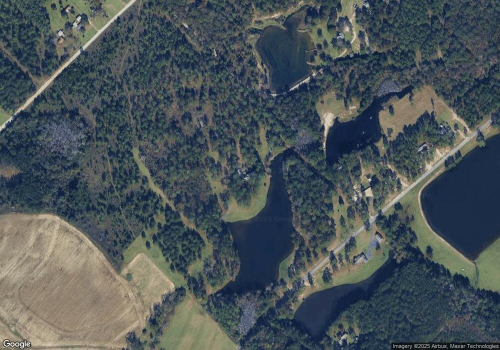
Map
Nearby Homes
- 238 Wilson Woodard Rd
- TRACT 1 Wilson Woodard Rd
- Tract 1 Wilson Woodard Rd
- Tract 2 Bell Line Rd
- Tract 5 Bell Line Rd
- Tract 4 Bell Line Rd
- Tract 3 Bell Line Rd
- 0 Scarborough-Owens Rd Unit 26365200
- 33 Ray Roderick Rd
- 1854 Friendship Umc Rd
- 0 Rozar-Goolsby Rd Unit 26372432
- 0 Rozar-Goolsby Rd Unit 26373162
- TRACT 5 Bell Line Rd
- TRACT 2 Bell Line Rd
- TRACT 3 Bell Line Rd
- TRACT 4 Bell Line Rd
- 140 Antioch Church Rd
- 0 Old Empire Rd Unit 260408
- 471 Kirkpatrick Rd
- 139 and 137 Ga Hwy 257
- 1141 Gresston Baptist Rd
- 1166 Gresston Baptist Rd
- 530 Garrett Oxley Rd
- 1084 Gresston Baptist Rd
- 553 Garrett Oxley Rd
- 519 Garrett Oxley Rd
- 1002 Gresston Baptist Rd
- 1314 Gresston Baptist Rd
- 1330 Gresston Baptist Rd
- 447 Garrett Oxley Rd
- 779 Garrett Oxley Rd
- 735 Garrett Oxley Rd
- 1407 Gresston Baptist Rd
- 820 Garrett Oxley Rd
- 3883 Cochran Hwy
- 733 Garrett Oxley Rd
- 793 Garrett Oxley Rd
- 3939 Cochran Hwy
- 1444 Garrett Oxley Rd
- 3809 Cochran Hwy
Your Personal Tour Guide
Ask me questions while you tour the home.