1141 Mansion Rd Block Island, RI 02807
Estimated Value: $1,786,000 - $3,035,000
2
Beds
1
Bath
1,146
Sq Ft
$1,924/Sq Ft
Est. Value
About This Home
This home is located at 1141 Mansion Rd, Block Island, RI 02807 and is currently estimated at $2,205,255, approximately $1,924 per square foot. 1141 Mansion Rd is a home located in Washington County with nearby schools including Block Island School.
Ownership History
Date
Name
Owned For
Owner Type
Purchase Details
Closed on
Aug 30, 2012
Sold by
Clark Charles J and Franco Patricia A
Bought by
Patricia A Franco Ret
Current Estimated Value
Purchase Details
Closed on
Nov 12, 2010
Sold by
Huggins Heather S
Bought by
Franco Patricia and Clark Charles J
Create a Home Valuation Report for This Property
The Home Valuation Report is an in-depth analysis detailing your home's value as well as a comparison with similar homes in the area
Home Values in the Area
Average Home Value in this Area
Purchase History
| Date | Buyer | Sale Price | Title Company |
|---|---|---|---|
| Patricia A Franco Ret | -- | -- | |
| Franco Patricia | $1,275,000 | -- | |
| Huggins Heather S | -- | -- |
Source: Public Records
Mortgage History
| Date | Status | Borrower | Loan Amount |
|---|---|---|---|
| Open | Huggins Heather S | $1,125,000 | |
| Closed | Huggins Heather S | $600,000 |
Source: Public Records
Tax History Compared to Growth
Tax History
| Year | Tax Paid | Tax Assessment Tax Assessment Total Assessment is a certain percentage of the fair market value that is determined by local assessors to be the total taxable value of land and additions on the property. | Land | Improvement |
|---|---|---|---|---|
| 2024 | $8,443 | $1,529,500 | $633,600 | $895,900 |
| 2023 | $9,208 | $1,529,500 | $633,600 | $895,900 |
| 2022 | $6,616 | $934,400 | $562,320 | $372,080 |
| 2021 | $6,260 | $934,400 | $562,320 | $372,080 |
| 2020 | $5,943 | $934,400 | $562,320 | $372,080 |
| 2019 | $5,756 | $934,400 | $562,320 | $372,080 |
| 2018 | $5,593 | $940,080 | $562,320 | $377,760 |
| 2017 | $5,509 | $940,080 | $562,320 | $377,760 |
| 2016 | $5,377 | $940,080 | $562,320 | $377,760 |
| 2015 | $5,115 | $928,300 | $702,900 | $225,400 |
| 2014 | $5,268 | $986,600 | $702,900 | $283,700 |
| 2013 | $4,637 | $890,000 | $702,900 | $187,100 |
Source: Public Records
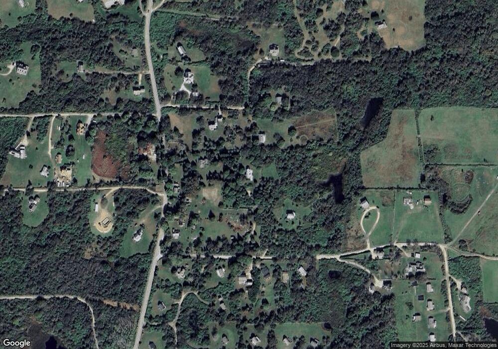
Map
Nearby Homes
- 1078 W Beach Rd
- 721 Corn Neck Rd
- 1720 Corn Neck Rd
- 1713 Corn Neck Rd
- 1743 Corn Neck Rd
- 751 Corn Neck Rd
- 0 Coast Guard Rd
- 481 Old Town Rd
- 1210 Graces Cove Rd
- 256 High St
- 1501 Beacon Hill Rd
- 1289 High St
- 1557 W Side Rd
- 194 Pilot Hill Rd
- 0 Southeast Rd Unit 1381406
- 0 Spring St
- 1087 Lakeside Dr
- 1596 W Side Rd
- 1661 Sand Pond Rd
- 0 Pilot Hill Rd
- 1704 Corn Neck Rd
- 1059 Corn Neck Rd
- 701 Mansion Rd
- 1187 Corn Neck Rd
- 706 Corn Neck Rd
- 714 Corn Neck Rd
- 676 Corn Neck Rd
- 690 Corn Neck Rd
- 692 Mansion Rd
- 675 Corn Neck Rd
- 691 Corn Neck Rd
- 704 Corn Neck Rd
- 1760 Mansion Rd
- 677 Corn Neck Rd
- 693 Corn Neck Rd
- 1731 Corn Neck Rd
- 1749 Corn Neck Rd
- 705 Corn Neck Rd
- 715 Corn Neck Rd
- 1759 Mansion Rd