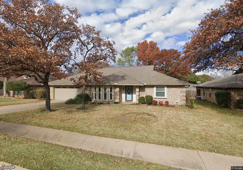
1141 Michael Sean Dr Bedford, TX 76021
Estimated Value: $428,761 - $480,000
3
Beds
2
Baths
1,925
Sq Ft
$235/Sq Ft
Est. Value
About This Home
This home is located at 1141 Michael Sean Dr, Bedford, TX 76021 and is currently estimated at $452,190, approximately $234 per square foot. 1141 Michael Sean Dr is a home located in Tarrant County with nearby schools including Bedford Heights Elementary School, Bedford Junior High School, and L.D. Bell High School.
Ownership History
Date
Name
Owned For
Owner Type
Purchase Details
Closed on
Apr 1, 1999
Sold by
Popelka David A and Popelka Rebe A
Bought by
Green Rodney K and Green Cynthia D
Current Estimated Value
Home Financials for this Owner
Home Financials are based on the most recent Mortgage that was taken out on this home.
Original Mortgage
$92,496
Outstanding Balance
$23,344
Interest Rate
7%
Mortgage Type
VA
Estimated Equity
$428,846
Create a Home Valuation Report for This Property
The Home Valuation Report is an in-depth analysis detailing your home's value as well as a comparison with similar homes in the area
Home Values in the Area
Average Home Value in this Area
Purchase History
| Date | Buyer | Sale Price | Title Company |
|---|---|---|---|
| Green Rodney K | -- | Safeco Land Title |
Source: Public Records
Mortgage History
| Date | Status | Borrower | Loan Amount |
|---|---|---|---|
| Open | Green Rodney K | $92,496 |
Source: Public Records
Tax History
| Year | Tax Paid | Tax Assessment Tax Assessment Total Assessment is a certain percentage of the fair market value that is determined by local assessors to be the total taxable value of land and additions on the property. | Land | Improvement |
|---|---|---|---|---|
| 2025 | $3,776 | $404,576 | $80,000 | $324,576 |
| 2024 | $3,776 | $404,576 | $80,000 | $324,576 |
| 2023 | $7,117 | $371,053 | $60,000 | $311,053 |
| 2022 | $7,480 | $345,557 | $60,000 | $285,557 |
| 2021 | $7,334 | $311,334 | $60,000 | $251,334 |
| 2020 | $6,744 | $283,650 | $60,000 | $223,650 |
| 2019 | $6,597 | $285,468 | $60,000 | $225,468 |
| 2018 | $5,615 | $246,848 | $60,000 | $186,848 |
| 2017 | $5,429 | $236,548 | $30,000 | $206,548 |
| 2016 | $4,935 | $210,960 | $30,000 | $180,960 |
| 2015 | $3,959 | $197,401 | $30,000 | $167,401 |
| 2014 | $3,959 | $168,600 | $20,000 | $148,600 |
Source: Public Records
Map
Nearby Homes
- 1109 Simpson Terrace
- 3907 Copperwood Ct
- 3617 Wayne Ct
- 4001 Copperwood Ct
- 1116 Carousel Dr
- 3605 Spring Valley Dr
- 1313 Crest Dr
- 704 Morning Glory Ln
- 3804 Ashbury Ln
- 2941 Eagles Nest Dr
- 840 Ridge Dr
- 1800 Hampton Dr
- 910 Saddlebrook Dr
- 3907 Windermere Dr
- 3809 Welwyn Way Dr
- 4105 Southwood W
- 1801 Glenbrook Ct
- 1252 Royal Crescent Dr
- 604 Robinhood Ln
- 3108 Spring Valley Dr
- 1145 Michael Sean Dr
- 1137 Michael Sean Dr
- 1124 Wingate Dr
- 1128 Wingate Dr
- 1149 Michael Sean Dr
- 1133 Michael Sean Dr
- 1120 Wingate Dr
- 1124 Michael Sean Dr
- 1132 Wingate Dr
- 1128 Michael Sean Dr
- 3620 Devon Ct
- 1116 Wingate Dr
- 1129 Michael Sean Dr
- 1153 Michael Sean Dr
- 1132 Michael Sean Dr
- 1125 Wingate Dr
- 3612 Devon Ct
- 1125 Michael Sean Dr
- 1134 Michael Sean Dr
- 1112 Wingate Dr
Your Personal Tour Guide
Ask me questions while you tour the home.