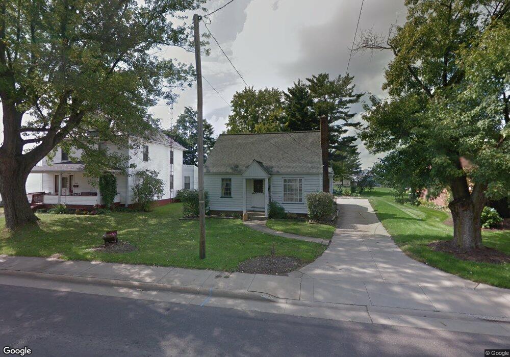
1141 N Chapel St Louisville, OH 44641
Estimated Value: $152,317 - $169,000
4
Beds
2
Baths
1,557
Sq Ft
$104/Sq Ft
Est. Value
About This Home
This home is located at 1141 N Chapel St, Louisville, OH 44641 and is currently estimated at $162,579, approximately $104 per square foot. 1141 N Chapel St is a home located in Stark County with nearby schools including Louisville High School and St. Thomas Aquinas High School & Middle School.
Ownership History
Date
Name
Owned For
Owner Type
Purchase Details
Closed on
Mar 27, 2003
Sold by
Miday Annabelle M
Bought by
Brown Ronald E and Brown Kerri L
Current Estimated Value
Home Financials for this Owner
Home Financials are based on the most recent Mortgage that was taken out on this home.
Original Mortgage
$95,501
Interest Rate
5.95%
Mortgage Type
FHA
Purchase Details
Closed on
Sep 30, 2002
Sold by
Estate Of Albert Miday
Bought by
Miday Annabelle
Create a Home Valuation Report for This Property
The Home Valuation Report is an in-depth analysis detailing your home's value as well as a comparison with similar homes in the area
Home Values in the Area
Average Home Value in this Area
Purchase History
| Date | Buyer | Sale Price | Title Company |
|---|---|---|---|
| Brown Ronald E | $97,000 | -- | |
| Miday Annabelle | -- | -- |
Source: Public Records
Mortgage History
| Date | Status | Borrower | Loan Amount |
|---|---|---|---|
| Previous Owner | Brown Ronald E | $95,501 |
Source: Public Records
Tax History Compared to Growth
Tax History
| Year | Tax Paid | Tax Assessment Tax Assessment Total Assessment is a certain percentage of the fair market value that is determined by local assessors to be the total taxable value of land and additions on the property. | Land | Improvement |
|---|---|---|---|---|
| 2025 | -- | $38,050 | $8,400 | $29,650 |
| 2024 | -- | $38,050 | $8,400 | $29,650 |
| 2023 | $1,410 | $32,800 | $6,930 | $25,870 |
| 2022 | $1,415 | $32,800 | $6,930 | $25,870 |
| 2021 | $1,419 | $32,800 | $6,930 | $25,870 |
| 2020 | $1,201 | $30,140 | $6,270 | $23,870 |
| 2019 | $1,206 | $30,140 | $6,270 | $23,870 |
| 2018 | $1,202 | $30,140 | $6,270 | $23,870 |
| 2017 | $1,085 | $26,260 | $5,220 | $21,040 |
| 2016 | $1,108 | $26,260 | $5,220 | $21,040 |
| 2015 | $1,111 | $26,260 | $5,220 | $21,040 |
| 2014 | $1,061 | $23,320 | $4,660 | $18,660 |
| 2013 | $1,068 | $23,320 | $4,660 | $18,660 |
Source: Public Records
Map
Nearby Homes
- 428 Honeycrisp Dr NE
- 3047 Mcintosh Dr NE
- 432 Honeycrisp Dr NE
- 2962 Mcintosh Dr NE
- 2963 Mcintosh Dr NE
- 430 Honeycrisp Dr NE
- 2957 Mcintosh Dr NE
- 300 Kennedy St
- 316 E Reno Dr
- 910 Crosswyck Cir
- 325 Lincoln Ave
- 614 Reno Dr
- 524 Glenbar St
- 1170 Winding Ridge Ave
- 5474 Ravenna Ave
- 0 Glenbar St
- 0 Brookridge Ave
- 1149 Sturbridge Dr
- 1175 Sturbridge Dr
- 3580 Brookridge Ave Lot 15
- 1135 N Chapel St
- 1151 N Chapel St
- 114 Devinney Ave
- 1125 N Chapel St
- 1142 N Chapel St
- 1146 N Chapel St
- 1201 N Chapel St
- 1132 N Chapel St
- 204 Devinney Ave
- 207 Kennedy St
- 1152 N Chapel St
- 1126 N Chapel St
- 1207 N Chapel St
- 210 Devinney Ave
- 1118 N Chapel St
- 203 Devinney Ave
- 1213 N Chapel St
- 1204 N Chapel St
- 214 Devinney Ave
- 217 Kennedy St