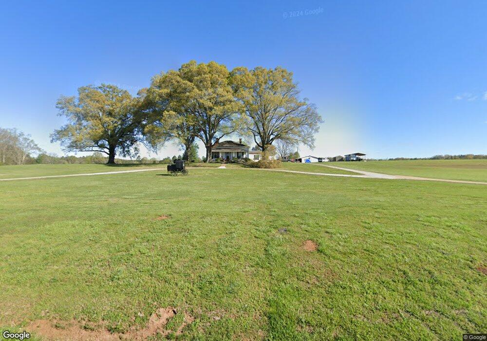
1141 Wyatt Rd Cedartown, GA 30125
Estimated Value: $315,000 - $439,000
3
Beds
1
Bath
2,354
Sq Ft
$166/Sq Ft
Est. Value
About This Home
This home is located at 1141 Wyatt Rd, Cedartown, GA 30125 and is currently estimated at $390,001, approximately $165 per square foot. 1141 Wyatt Rd is a home located in Polk County.
Ownership History
Date
Name
Owned For
Owner Type
Purchase Details
Closed on
Mar 10, 1992
Sold by
1St Nat Bk Polk Co
Bought by
Franklin Charles Ejr
Current Estimated Value
Purchase Details
Closed on
Nov 5, 1991
Sold by
Karlsson Hans G
Bought by
First Nat Bk Polk Co
Purchase Details
Closed on
Jan 31, 1991
Sold by
Tillery Scott
Bought by
Karlsson Hans G
Purchase Details
Closed on
Dec 28, 1990
Sold by
Tillery Doris
Bought by
Tillery Scott
Purchase Details
Closed on
Jun 4, 1990
Sold by
Tillery Scott
Bought by
Tillery Doris
Purchase Details
Closed on
May 30, 1990
Sold by
Tillery Howard
Bought by
Tillery Scott
Create a Home Valuation Report for This Property
The Home Valuation Report is an in-depth analysis detailing your home's value as well as a comparison with similar homes in the area
Home Values in the Area
Average Home Value in this Area
Purchase History
| Date | Buyer | Sale Price | Title Company |
|---|---|---|---|
| Franklin Charles Ejr | $85,000 | -- | |
| First Nat Bk Polk Co | $86,700 | -- | |
| Karlsson Hans G | $146,800 | -- | |
| Tillery Scott | -- | -- | |
| Tillery Doris | -- | -- | |
| Tillery Scott | $62,000 | -- |
Source: Public Records
Tax History Compared to Growth
Tax History
| Year | Tax Paid | Tax Assessment Tax Assessment Total Assessment is a certain percentage of the fair market value that is determined by local assessors to be the total taxable value of land and additions on the property. | Land | Improvement |
|---|---|---|---|---|
| 2024 | $2,358 | $114,830 | $10,812 | $104,018 |
| 2023 | $1,814 | $78,452 | $10,812 | $67,640 |
| 2022 | $1,512 | $65,709 | $7,208 | $58,501 |
| 2021 | $1,532 | $65,709 | $7,208 | $58,501 |
| 2020 | $1,535 | $65,709 | $7,208 | $58,501 |
| 2019 | $1,038 | $40,642 | $7,208 | $33,434 |
| 2018 | $994 | $38,077 | $7,208 | $30,869 |
Source: Public Records
Map
Nearby Homes
- 0 Colquitt Rd Unit 25175705
- 0 Colquitt Rd Unit 7661475
- 0 Colquitt Rd Unit 10623944
- 2705 Collard Valley Rd
- 565 Raiford Rd
- 2944 Old Collard Valley Rd
- 0 Stewart Rd
- 1170 Lake Creek Rd
- 0 Benefield Rd Unit 7479734
- 0 Benefield Rd Unit 10405501
- 0 Richard Pullen Rd Unit 10577442
- 0 Richard Pullen Rd Unit 7626794
- 573 Relay Rd SE
- 158 Woodsmoke Rd
- 110 Mulberry Ln
- 2129 Lake Creek Rd
- TRACT4 Drummond Rd
- Tract2 Drummond Rd
- 231 Gordon Rd
- 1522 Collard Valley Rd
- 70 Collard Valley Church Rd
- 108 Collard Valley Church Loop
- 1098 Cut Log Rd
- 70 Collard Valley Church Loop
- 70 Collard Valley Rd
- 0 Pleasant Valley Rd
- 957 Wyatt Rd
- 119 Pleasant Valley Rd
- 946 Cut Log Rd
- 951 Wyatt Rd
- 188 Pleasant Valley Rd
- 1057 Cut Log Rd
- 1397 Wyatt Rd
- 204 Pleasant Valley Rd
- 206 Pleasant Valley Rd
- 1443 Wyatt Rd
- 324 Pleasant View Rd
- 1001 Cut Log Rd
- 955 Cut Log Rd
- 346 Pleasant View Rd