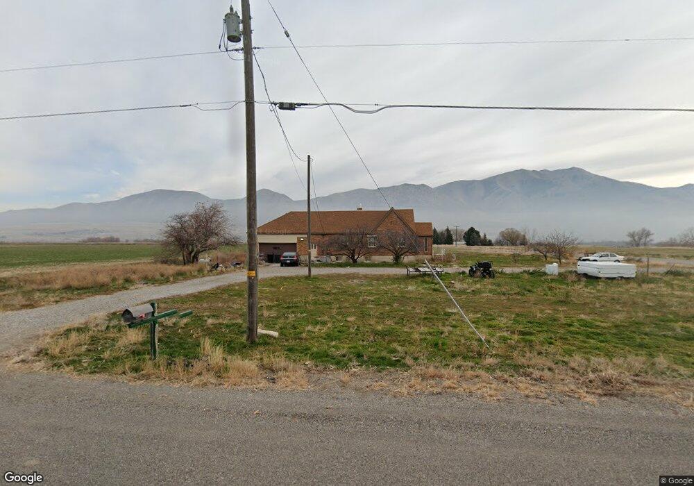
11410 N 4400 W Tremonton, UT 84337
Estimated Value: $413,553 - $488,000
--
Bed
--
Bath
1,240
Sq Ft
$353/Sq Ft
Est. Value
About This Home
This home is located at 11410 N 4400 W, Tremonton, UT 84337 and is currently estimated at $438,138, approximately $353 per square foot. 11410 N 4400 W is a home located in Box Elder County with nearby schools including North Park School, Bear River Middle School, and Alice C. Harris Intermediate School.
Ownership History
Date
Name
Owned For
Owner Type
Purchase Details
Closed on
Jul 28, 2021
Sold by
Mcminn Tamera and Mcminn Tamera W
Bought by
Mcminn Tamera Wood and The Tamera Mcminn Family Trust
Current Estimated Value
Purchase Details
Closed on
Aug 25, 2015
Purchase Details
Closed on
Mar 21, 2013
Sold by
Mcminn Michael J and Mcminn Tamera W
Bought by
Mcminn Tamera
Home Financials for this Owner
Home Financials are based on the most recent Mortgage that was taken out on this home.
Original Mortgage
$80,500
Interest Rate
3.47%
Mortgage Type
New Conventional
Create a Home Valuation Report for This Property
The Home Valuation Report is an in-depth analysis detailing your home's value as well as a comparison with similar homes in the area
Home Values in the Area
Average Home Value in this Area
Purchase History
| Date | Buyer | Sale Price | Title Company |
|---|---|---|---|
| Mcminn Tamera Wood | -- | None Available | |
| -- | $4,489 | American Secure Title Brigha | |
| -- | -- | Skip | |
| Mcminn Tamera | -- | None Available |
Source: Public Records
Mortgage History
| Date | Status | Borrower | Loan Amount |
|---|---|---|---|
| Previous Owner | Mcminn Tamera | $80,500 |
Source: Public Records
Tax History Compared to Growth
Tax History
| Year | Tax Paid | Tax Assessment Tax Assessment Total Assessment is a certain percentage of the fair market value that is determined by local assessors to be the total taxable value of land and additions on the property. | Land | Improvement |
|---|---|---|---|---|
| 2025 | $2,085 | $408,890 | $135,000 | $273,890 |
| 2024 | $1,824 | $406,323 | $135,000 | $271,323 |
| 2023 | $1,720 | $387,240 | $135,000 | $252,240 |
| 2022 | $1,525 | $178,039 | $16,500 | $161,539 |
| 2021 | $1,170 | $181,611 | $30,000 | $151,611 |
| 2020 | $988 | $181,611 | $30,000 | $151,611 |
| 2019 | $930 | $90,293 | $16,500 | $73,793 |
| 2018 | $714 | $64,717 | $26,142 | $38,575 |
| 2017 | $740 | $117,666 | $26,142 | $70,136 |
| 2016 | $713 | $62,880 | $26,142 | $36,738 |
| 2015 | -- | $59,540 | $26,142 | $33,398 |
| 2014 | -- | $57,950 | $26,142 | $31,808 |
| 2013 | -- | $57,950 | $26,142 | $31,808 |
Source: Public Records
Map
Nearby Homes
- 11990 N 4800 W
- 4979 W 12000 N
- 1740 E Main St Unit 502
- 1740 E Main St Unit 501
- 1740 E Main St Unit 504
- 1143 S 1335 E Unit 78
- 9791 N Highway 38 Unit 10
- 9835 N Highway 38 Unit 11
- 9743 N Highway 38 Unit 8
- 408 N 775 E
- 161 N 870 E Unit 29
- 839 E 180 N Unit 30
- Auburn Plan at River's Edge - Tremonton
- Lyndhurst Plan at River's Edge - Tremonton
- Glendale Plan at River's Edge - Tremonton
- Fairview Plan at River's Edge - Tremonton
- Sumac Plan at River's Edge - Tremonton
- Aberdeen Plan at River's Edge - Tremonton
- Summerlyn Plan at River's Edge - Tremonton
- Redwood Plan at River's Edge - Tremonton
- 11457 N 4400 W
- 11515 N 4400 W
- 4279 W 11400 N
- 11325 N 4400 W
- 11310 N 4400 W
- 11336 N 4400 W
- 11529 N 4400 W
- 11290 N 4400 W
- 11290 N 4400 W Unit 2
- 11259 N 4400 W
- 11262 N 4400 W Unit 1
- 11575 N 4400 W
- 11605 N 4400 W
- 11216 N 4400 W
- 4500 W 11200 N
- 4540 W 11200 N
- 4540 W 11200 N
- 4130 W 11400 N
- 4615 W 11600 N
- 4590 W 11200 N