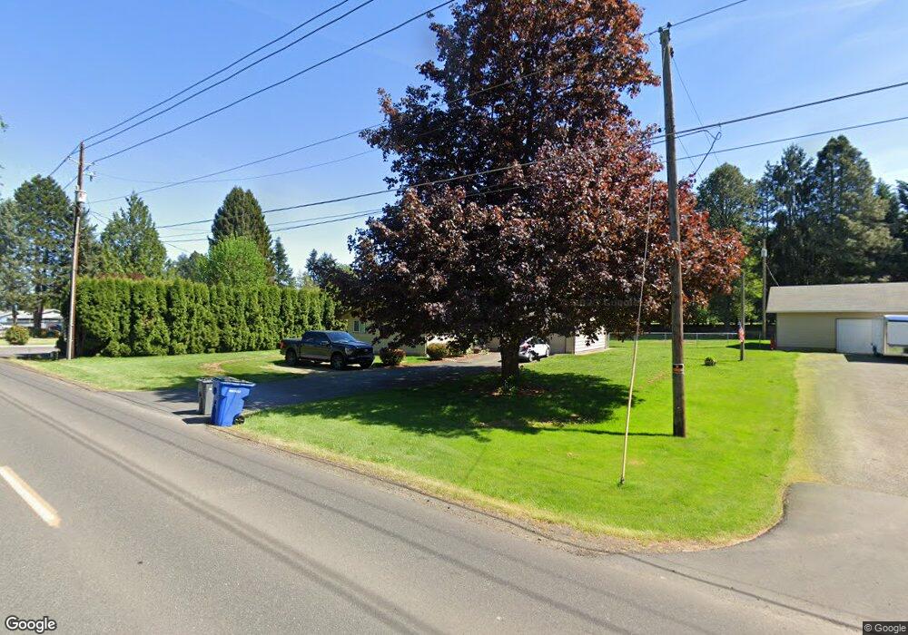
11411 NE 131st St Vancouver, WA 98662
Estimated Value: $553,384 - $644,000
3
Beds
2
Baths
1,063
Sq Ft
$569/Sq Ft
Est. Value
About This Home
This home is located at 11411 NE 131st St, Vancouver, WA 98662 and is currently estimated at $604,346, approximately $568 per square foot. 11411 NE 131st St is a home located in Clark County with nearby schools including Glenwood Heights Primary School, Laurin Middle School, and Prairie High School.
Ownership History
Date
Name
Owned For
Owner Type
Purchase Details
Closed on
Nov 2, 2005
Sold by
Bobst Scott
Bought by
Bobst Scott and Bobst Laura
Current Estimated Value
Home Financials for this Owner
Home Financials are based on the most recent Mortgage that was taken out on this home.
Original Mortgage
$25,000
Interest Rate
5.9%
Mortgage Type
Stand Alone Second
Purchase Details
Closed on
Feb 13, 2002
Sold by
Bobst Bruce O and Bobst Phyllis E
Bought by
Bobst Scott
Create a Home Valuation Report for This Property
The Home Valuation Report is an in-depth analysis detailing your home's value as well as a comparison with similar homes in the area
Home Values in the Area
Average Home Value in this Area
Purchase History
| Date | Buyer | Sale Price | Title Company |
|---|---|---|---|
| Bobst Scott | -- | Stewart Title | |
| Bobst Scott | -- | -- | |
| Bobst Bruce O | -- | -- |
Source: Public Records
Mortgage History
| Date | Status | Borrower | Loan Amount |
|---|---|---|---|
| Closed | Bobst Scott | $25,000 | |
| Closed | Bobst Scott | $200,000 |
Source: Public Records
Tax History Compared to Growth
Tax History
| Year | Tax Paid | Tax Assessment Tax Assessment Total Assessment is a certain percentage of the fair market value that is determined by local assessors to be the total taxable value of land and additions on the property. | Land | Improvement |
|---|---|---|---|---|
| 2025 | $4,401 | $529,227 | $307,450 | $221,777 |
| 2024 | $3,960 | $537,066 | $307,450 | $229,616 |
| 2023 | $4,091 | $536,102 | $305,300 | $230,802 |
| 2022 | $3,819 | $511,303 | $292,400 | $218,903 |
| 2021 | $3,655 | $433,769 | $247,250 | $186,519 |
| 2020 | $3,776 | $375,729 | $215,000 | $160,729 |
| 2019 | $3,063 | $378,410 | $223,000 | $155,410 |
| 2018 | $3,602 | $349,593 | $0 | $0 |
| 2017 | $3,008 | $310,762 | $0 | $0 |
| 2016 | $2,707 | $279,781 | $0 | $0 |
| 2015 | $2,596 | $230,861 | $0 | $0 |
| 2014 | -- | $209,072 | $0 | $0 |
| 2013 | -- | $190,482 | $0 | $0 |
Source: Public Records
Map
Nearby Homes
- 10101 NE 119th St
- 11530 NE 125th Ave
- 14000 NE 97th Ave
- 11516 NE 126th Ave
- 11527 NE 126th Ave
- 15014 NE Caples Rd
- 11703 NE 128th Place
- 10414 NE 113th Cir
- 00 NE 119th St
- 11105 NE 121st Ct
- 11620 NE 131st Ave
- 11110 NE 124th Ave
- 12012 NE 110th St
- 11314 NE 127th Ct
- 11501 NE 131st Place
- 10808 NE 119th Place
- 11218 NE 102nd Ave
- 12721 NE 111th St
- 11911 NE 108th St
- 12400 NE 109th St
- 11415 NE 131st St
- 11400 NE 131st St
- 11505 NE 131st St
- 11305 NE 131st St
- 11515 NE 131st St
- 11310 NE 130th Cir
- 11308 NE 130th Cir
- 11406 NE 131st St
- 11611 NE 131st St
- 11216 NE 130th Cir
- 11213 NE 131st St
- 12908 NE 117th Ave
- 11307 NE 130th Cir
- 13012 NE 117th Ave
- 13008 NE 117th Ave
- 11204 NE 131st St
- 11215 NE 130th Cir
- 13216 NE 117th Ave
- 11220 NE 131st St
- 11109 NE 131st St