11411 W 500 N Thorntown, IN 46071
Estimated Value: $27,000
--
Bed
--
Bath
--
Sq Ft
1.35
Acres
About This Home
This home is located at 11411 W 500 N, Thorntown, IN 46071 and is currently estimated at $27,000. 11411 W 500 N is a home located in Boone County with nearby schools including Western Boone Junior/Senior High School.
Ownership History
Date
Name
Owned For
Owner Type
Purchase Details
Closed on
May 21, 2025
Sold by
Harrison John R
Bought by
Plunkett Dustin
Current Estimated Value
Purchase Details
Closed on
Jan 25, 2010
Sold by
Wells Forgo Bank Na
Bought by
Harrison John R
Purchase Details
Closed on
Oct 1, 2009
Sold by
Harness Todd A and Harness Douglas Julia
Bought by
Wells Fargo Bank Na
Purchase Details
Closed on
Nov 23, 2005
Sold by
Denham Larry L
Bought by
Harness Toss A and Harness Douglas Julia
Home Financials for this Owner
Home Financials are based on the most recent Mortgage that was taken out on this home.
Original Mortgage
$22,500
Interest Rate
6.2%
Mortgage Type
Credit Line Revolving
Create a Home Valuation Report for This Property
The Home Valuation Report is an in-depth analysis detailing your home's value as well as a comparison with similar homes in the area
Home Values in the Area
Average Home Value in this Area
Purchase History
| Date | Buyer | Sale Price | Title Company |
|---|---|---|---|
| Plunkett Dustin | $150,000 | Meridian Title Corporation | |
| Harrison John R | -- | -- | |
| Wells Fargo Bank Na | -- | -- | |
| Harness Toss A | -- | -- |
Source: Public Records
Mortgage History
| Date | Status | Borrower | Loan Amount |
|---|---|---|---|
| Previous Owner | Harness Toss A | $22,500 |
Source: Public Records
Tax History Compared to Growth
Tax History
| Year | Tax Paid | Tax Assessment Tax Assessment Total Assessment is a certain percentage of the fair market value that is determined by local assessors to be the total taxable value of land and additions on the property. | Land | Improvement |
|---|---|---|---|---|
| 2025 | $136 | $6,900 | $6,900 | $0 |
| 2024 | $136 | $10,700 | $6,900 | $3,800 |
| 2023 | $131 | $10,100 | $6,900 | $3,200 |
| 2022 | $137 | $10,000 | $6,900 | $3,100 |
| 2021 | $137 | $9,300 | $6,900 | $2,400 |
| 2020 | $134 | $9,100 | $6,900 | $2,200 |
| 2019 | $131 | $9,100 | $6,900 | $2,200 |
| 2018 | $128 | $9,000 | $6,900 | $2,100 |
| 2017 | $121 | $8,800 | $6,900 | $1,900 |
| 2016 | $116 | $8,700 | $6,900 | $1,800 |
| 2014 | $118 | $9,700 | $8,100 | $1,600 |
| 2013 | $134 | $9,700 | $8,100 | $1,600 |
Source: Public Records
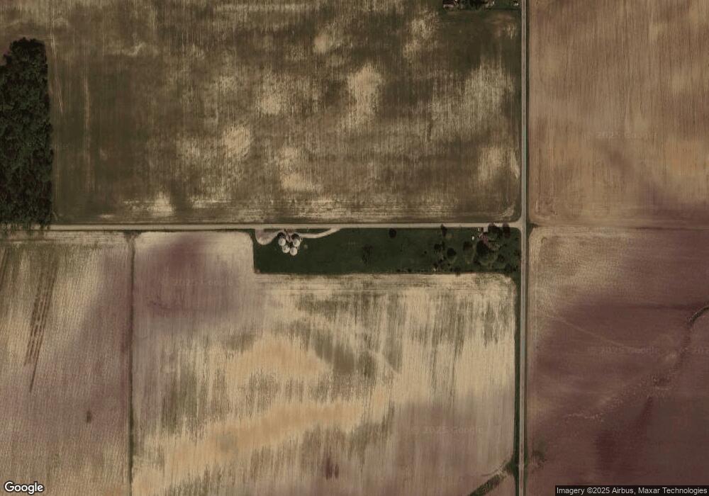
Map
Nearby Homes
- 7001 N 1075 W
- Juniper Plan at Westfall Place
- Chestnut Plan at Westfall Place
- Walnut Plan at Westfall Place
- Ironwood Plan at Westfall Place
- Empress Plan at Westfall Place
- Ashton Plan at Westfall Place
- Spruce Plan at Westfall Place
- Palmetto Plan at Westfall Place
- Bradford Plan at Westfall Place
- Aspen II Plan at Westfall Place
- Norway Plan at Westfall Place
- Cooper Plan at Westfall Place
- 6139 Westfall Dr
- Ironwood Plan at Northwood Haven
- Spruce Plan at Northwood Haven
- Ashton Plan at Northwood Haven
- Palmetto Plan at Northwood Haven
- Bradford Plan at Northwood Haven
- Aspen II Plan at Northwood Haven