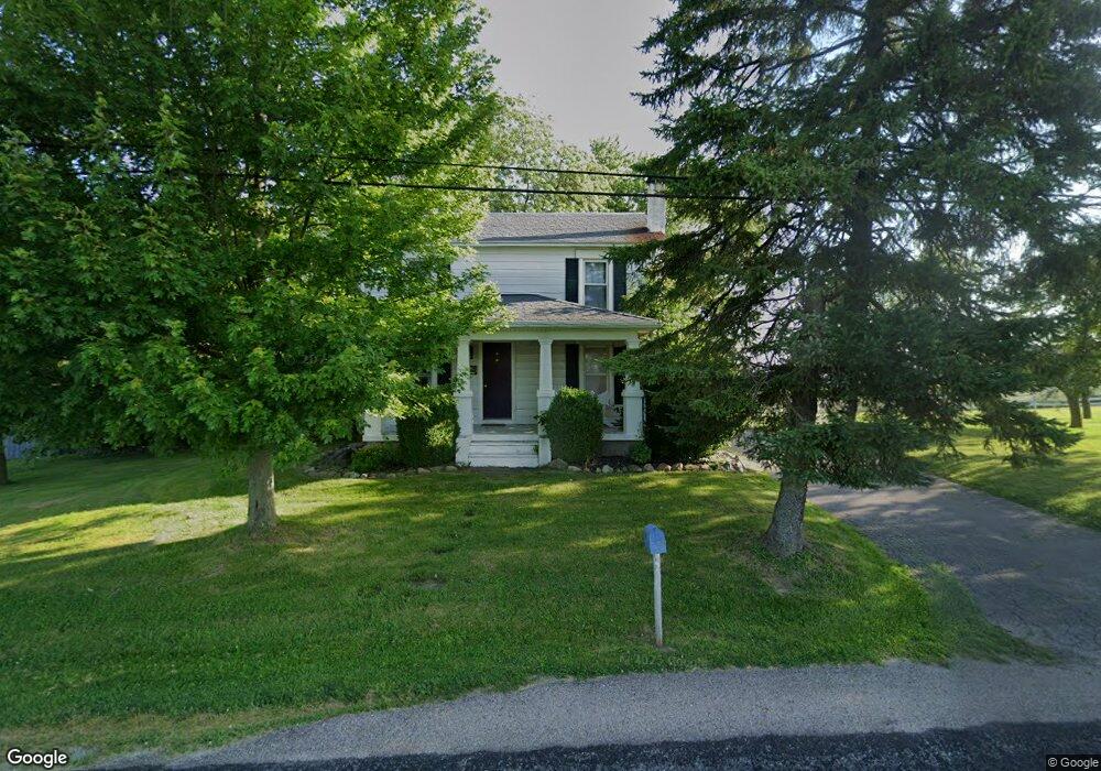
11415 Amity Rd Brookville, OH 45309
Estimated Value: $199,000 - $236,000
3
Beds
1
Bath
1,388
Sq Ft
$159/Sq Ft
Est. Value
About This Home
This home is located at 11415 Amity Rd, Brookville, OH 45309 and is currently estimated at $220,752, approximately $159 per square foot. 11415 Amity Rd is a home located in Montgomery County with nearby schools including Brookville Elementary School, Brookville Intermediate School, and Brookville High School.
Ownership History
Date
Name
Owned For
Owner Type
Purchase Details
Closed on
Oct 26, 2012
Sold by
Eller Timothy H and Eller Rebecca L
Bought by
Couch Jordan M and Couch Leah C
Current Estimated Value
Home Financials for this Owner
Home Financials are based on the most recent Mortgage that was taken out on this home.
Original Mortgage
$80,514
Interest Rate
3.51%
Mortgage Type
FHA
Create a Home Valuation Report for This Property
The Home Valuation Report is an in-depth analysis detailing your home's value as well as a comparison with similar homes in the area
Home Values in the Area
Average Home Value in this Area
Purchase History
| Date | Buyer | Sale Price | Title Company |
|---|---|---|---|
| Couch Jordan M | $82,000 | Evans Title Agency Inc |
Source: Public Records
Mortgage History
| Date | Status | Borrower | Loan Amount |
|---|---|---|---|
| Closed | Couch Jordan M | $80,514 |
Source: Public Records
Tax History Compared to Growth
Tax History
| Year | Tax Paid | Tax Assessment Tax Assessment Total Assessment is a certain percentage of the fair market value that is determined by local assessors to be the total taxable value of land and additions on the property. | Land | Improvement |
|---|---|---|---|---|
| 2024 | $2,795 | $51,320 | $19,110 | $32,210 |
| 2023 | $2,795 | $51,320 | $19,110 | $32,210 |
| 2022 | $2,420 | $34,050 | $12,660 | $21,390 |
| 2021 | $2,293 | $34,050 | $12,660 | $21,390 |
| 2020 | $2,295 | $34,050 | $12,660 | $21,390 |
| 2019 | $2,038 | $27,630 | $12,660 | $14,970 |
| 2018 | $2,048 | $27,630 | $12,660 | $14,970 |
| 2017 | $1,956 | $27,630 | $12,660 | $14,970 |
| 2016 | $1,893 | $26,370 | $12,660 | $13,710 |
| 2015 | $1,864 | $26,370 | $12,660 | $13,710 |
| 2014 | $1,864 | $26,370 | $12,660 | $13,710 |
| 2012 | -- | $34,150 | $9,490 | $24,660 |
Source: Public Records
Map
Nearby Homes
- 0 Steck Rd
- 2960 N Diamond Mill Rd
- 4212 N Diamond Mill Rd
- 1673 Diamond Mill Rd
- 10701 Old Dayton Rd
- 5248 Heckathorn Rd
- 306 N Clayton Rd
- 218 Woodfield Dr
- 3825 Crawford Toms Run Rd
- Chestnut Plan at Evergreen Trace
- Palmetto Plan at Evergreen Trace
- Aspen II Plan at Evergreen Trace
- Empress Plan at Evergreen Trace
- Ashton Plan at Evergreen Trace
- Norway Plan at Evergreen Trace
- Bradford Plan at Evergreen Trace
- Ironwood Plan at Evergreen Trace
- Spruce Plan at Evergreen Trace
- Cooper Plan at Evergreen Trace
- Juniper Plan at Evergreen Trace
- 11389 Amity Rd
- 11365 Amity Rd
- 11337 Amity Rd
- 3088 Clayton Rd
- 11278 Amity Rd
- 11258 Amity Rd
- 2901 Clayton Rd
- 3184 Clayton Rd
- 11224 Amity Rd
- 2861 Clayton Rd
- 11200 Amity Rd
- 11490 Steck Rd
- 11170 Amity Rd
- 3263 Clayton Rd
- 11148 Amity Rd
- 11546 Steck Rd
- 11721 Amity Rd
- 11628 Steck Rd
- 11185 Amity Rd
- 11650 Steck Rd