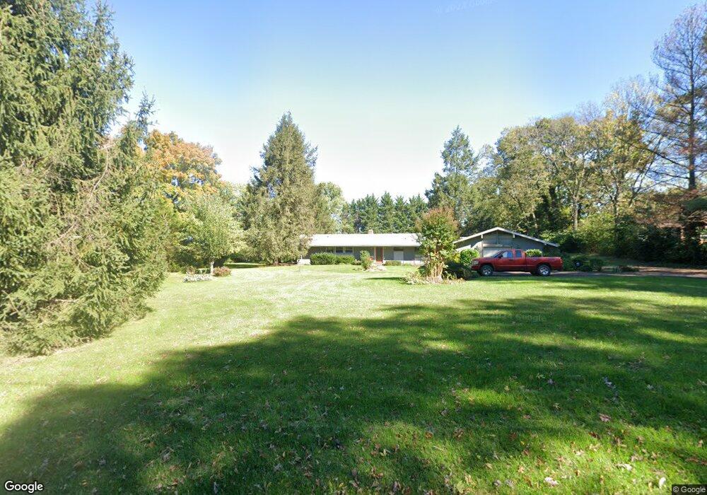
11415 Ashton Rd Clear Spring, MD 21722
Estimated Value: $331,490 - $434,000
3
Beds
2
Baths
1,425
Sq Ft
$270/Sq Ft
Est. Value
About This Home
This home is located at 11415 Ashton Rd, Clear Spring, MD 21722 and is currently estimated at $385,123, approximately $270 per square foot. 11415 Ashton Rd is a home located in Washington County with nearby schools including Clear Spring Elementary School, Clear Spring Middle School, and Clear Spring High School.
Ownership History
Date
Name
Owned For
Owner Type
Purchase Details
Closed on
Mar 11, 2013
Sold by
Deeds Paul Edward
Bought by
Deeds Paul Edwards and Deeds Elizabeth Ann
Current Estimated Value
Home Financials for this Owner
Home Financials are based on the most recent Mortgage that was taken out on this home.
Original Mortgage
$235,997
Outstanding Balance
$166,763
Interest Rate
3.57%
Mortgage Type
VA
Estimated Equity
$218,360
Purchase Details
Closed on
Dec 9, 2009
Sold by
Engstrom Karin
Bought by
Deeds Paul Edward
Purchase Details
Closed on
May 19, 1987
Sold by
Hunnisett Richard A
Bought by
Engstrom Karin
Home Financials for this Owner
Home Financials are based on the most recent Mortgage that was taken out on this home.
Original Mortgage
$56,000
Interest Rate
10.48%
Create a Home Valuation Report for This Property
The Home Valuation Report is an in-depth analysis detailing your home's value as well as a comparison with similar homes in the area
Home Values in the Area
Average Home Value in this Area
Purchase History
| Date | Buyer | Sale Price | Title Company |
|---|---|---|---|
| Deeds Paul Edwards | -- | Record Title & Escrow | |
| Deeds Paul Edward | $235,000 | -- | |
| Engstrom Karin | $76,000 | -- |
Source: Public Records
Mortgage History
| Date | Status | Borrower | Loan Amount |
|---|---|---|---|
| Open | Deeds Paul Edwards | $235,997 | |
| Previous Owner | Engstrom Karin | $56,000 | |
| Closed | Deeds Paul Edward | -- |
Source: Public Records
Tax History Compared to Growth
Tax History
| Year | Tax Paid | Tax Assessment Tax Assessment Total Assessment is a certain percentage of the fair market value that is determined by local assessors to be the total taxable value of land and additions on the property. | Land | Improvement |
|---|---|---|---|---|
| 2025 | $1,932 | $228,100 | $0 | $0 |
| 2024 | $1,932 | $199,700 | $0 | $0 |
| 2023 | $1,834 | $171,300 | $84,700 | $86,600 |
| 2022 | $1,833 | $171,200 | $0 | $0 |
| 2021 | $1,865 | $171,100 | $0 | $0 |
| 2020 | $1,865 | $171,000 | $84,700 | $86,300 |
| 2019 | $1,873 | $171,000 | $84,700 | $86,300 |
| 2018 | $1,873 | $171,000 | $84,700 | $86,300 |
| 2017 | $1,889 | $172,500 | $0 | $0 |
| 2016 | -- | $172,500 | $0 | $0 |
| 2015 | $2,123 | $172,500 | $0 | $0 |
| 2014 | $2,123 | $180,200 | $0 | $0 |
Source: Public Records
Map
Nearby Homes
- 11431 Ashton Rd
- 11705 Ashton Rd
- 11737 Ashton Rd
- 11339 Gift Rd
- Lot 9 Boo Blvd
- 1-27 Boo Blvd
- Block 1 Lot 35 Boo Blvd
- Block 1 Lot 36 Boo Blvd
- 139-118 Boo Blvd
- Block 87 Lot 3 Pikers Peak Dr
- Block 87 Lot 4 Pikers Peak Dr
- Block 1 Lot 42 Boo Blvd
- Block 8 Lot 32 & 33 Ice Cream St
- Block 9 Lot 8 Ice Cream St
- Block 5 lots 6 and 7 Poison Oak
- Block 11 Lot 11 Hot Springs Ave
- 0 Block 10 Lot 2 Deadwood Dr Unit WVBE2040636
- Block 5 Lot 9 Poison Oak Ln
- Block 5 Lot 10 Poison Oak Ln
- Block 92 Lot 12 Bear Bottom Rd
- 11425 Ashton Rd
- 11411 Ashton Rd
- 11428 Ashton Rd
- 11407 Ashton Rd
- 11408 Ashton Rd
- 11403 Ashton Rd
- 11410 Ashton Rd
- 11439 Ashton Rd
- 11337 Ashton Rd
- 11338 Ashton Rd
- 11324 Ashton Rd
- 11316 Ashton Rd
- 11310 Ashton Rd
- 11412 Ashton Rd
- 11224 Ashton Rd
- 11166 Ashton Rd
- 11608 Ashton Rd
- 11624 Ashton Rd
- 13209 Big Pool Rd
- 13215 Big Pool Rd