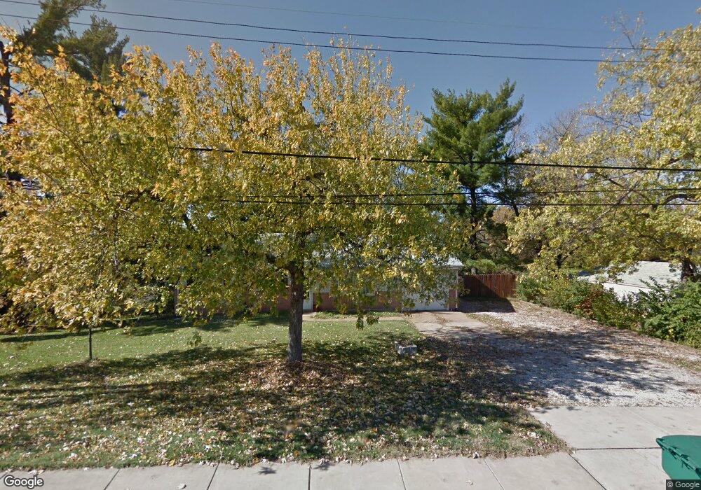
11415 Mehl Ave Florissant, MO 63033
Estimated Value: $127,211 - $210,000
3
Beds
2
Baths
1,066
Sq Ft
$152/Sq Ft
Est. Value
About This Home
This home is located at 11415 Mehl Ave, Florissant, MO 63033 and is currently estimated at $162,303, approximately $152 per square foot. 11415 Mehl Ave is a home located in St. Louis County with nearby schools including Jury Elementary School, Central Middle School, and Hazelwood Central High School.
Ownership History
Date
Name
Owned For
Owner Type
Purchase Details
Closed on
Aug 15, 2007
Sold by
Ward Timothy T and Ward Helen A
Bought by
Jordan David A and Jordan Carla L
Current Estimated Value
Home Financials for this Owner
Home Financials are based on the most recent Mortgage that was taken out on this home.
Original Mortgage
$129,500
Interest Rate
6.4%
Mortgage Type
Purchase Money Mortgage
Create a Home Valuation Report for This Property
The Home Valuation Report is an in-depth analysis detailing your home's value as well as a comparison with similar homes in the area
Home Values in the Area
Average Home Value in this Area
Purchase History
| Date | Buyer | Sale Price | Title Company |
|---|---|---|---|
| Jordan David A | $129,500 | Land Title Ins Co St Louis |
Source: Public Records
Mortgage History
| Date | Status | Borrower | Loan Amount |
|---|---|---|---|
| Previous Owner | Jordan David A | $129,500 |
Source: Public Records
Tax History Compared to Growth
Tax History
| Year | Tax Paid | Tax Assessment Tax Assessment Total Assessment is a certain percentage of the fair market value that is determined by local assessors to be the total taxable value of land and additions on the property. | Land | Improvement |
|---|---|---|---|---|
| 2025 | $1,606 | $28,710 | $4,480 | $24,230 |
| 2024 | $1,606 | $17,500 | $6,020 | $11,480 |
| 2023 | $1,600 | $17,500 | $6,020 | $11,480 |
| 2022 | $2,418 | $23,660 | $8,590 | $15,070 |
| 2021 | $2,289 | $23,660 | $8,590 | $15,070 |
| 2020 | $1,884 | $18,090 | $5,170 | $12,920 |
| 2019 | $1,853 | $18,090 | $5,170 | $12,920 |
| 2018 | $1,595 | $14,360 | $2,260 | $12,100 |
| 2017 | $1,593 | $14,360 | $2,260 | $12,100 |
| 2016 | $1,637 | $14,520 | $3,460 | $11,060 |
| 2015 | $1,600 | $14,520 | $3,460 | $11,060 |
| 2014 | $1,697 | $15,350 | $2,870 | $12,480 |
Source: Public Records
Map
Nearby Homes
- 11565 Mehl Ave
- 4401 Rhine Dr
- 4384 Remus Dr
- 4461 Rhine Dr
- 4471 Rhine Dr
- 4453 Remus Dr
- 4497 Rhine Dr
- 4327 Sulla Dr
- 11790 New Halls Ferry Rd
- 11636 MacRinus Dr
- 4493 Caracalla Dr
- 11129 Old Halls Ferry Rd
- 4950 Patricia Ridge Dr
- 12062 Cato Dr
- 2633 Hadden Dr
- 11767 MacRinus Dr
- 4348 Vandals Dr
- 2628 Hadden Dr
- 1749 Foley Dr
- 10719 Trask Dr
- 11395 Mehl Ave
- 11385 Mehl Ave
- 11455 Mehl Ave
- 11480 Mehl Ave
- 11390 Mehl Ave
- 11505 Mehl Ave
- 4318 Rhine Dr
- 4328 Rhine Dr
- 4308 Rhine Dr
- 4338 Rhine Dr
- 11325 Mehl Ave
- 11490 Mehl Ave
- 4348 Rhine Dr
- 11237 Liberty Landing Dr
- 11233 Liberty Landing Dr
- 11229 Liberty Landing Dr
- 11241 Liberty Landing Dr
- 4358 Rhine Dr
- 11245 Liberty Landing Dr
- 11225 Liberty Landing Dr