11419 S Route 20 Marengo, IL 60152
Riley Neighborhood
--
Bed
--
Bath
--
Sq Ft
11.21
Acres
About This Home
This home is located at 11419 S Route 20, Marengo, IL 60152. 11419 S Route 20 is a home located in McHenry County with nearby schools including Riley Community Consolidated School District 18 and Marengo Community High School.
Ownership History
Date
Name
Owned For
Owner Type
Purchase Details
Closed on
May 19, 2020
Sold by
Chicago Title Land Trust Company
Bought by
Marengo Properties Llc
Home Financials for this Owner
Home Financials are based on the most recent Mortgage that was taken out on this home.
Original Mortgage
$691,200
Outstanding Balance
$548,855
Interest Rate
3.3%
Mortgage Type
Future Advance Clause Open End Mortgage
Purchase Details
Closed on
Dec 4, 2003
Sold by
Country Junction Restaurant & Lounge Inc
Bought by
Harris Trust & Savings Bank and Trust #Htb 1231
Purchase Details
Closed on
Jan 5, 2000
Sold by
Junction Restaurant & Lounge Inc
Bought by
Commonwealth Edison Company
Create a Home Valuation Report for This Property
The Home Valuation Report is an in-depth analysis detailing your home's value as well as a comparison with similar homes in the area
Home Values in the Area
Average Home Value in this Area
Purchase History
| Date | Buyer | Sale Price | Title Company |
|---|---|---|---|
| Marengo Properties Llc | $450,000 | First American Title | |
| Harris Trust & Savings Bank | $582,000 | Nlt Title Llc | |
| Commonwealth Edison Company | $150,000 | Chicago Title |
Source: Public Records
Mortgage History
| Date | Status | Borrower | Loan Amount |
|---|---|---|---|
| Open | Marengo Properties Llc | $691,200 |
Source: Public Records
Tax History Compared to Growth
Tax History
| Year | Tax Paid | Tax Assessment Tax Assessment Total Assessment is a certain percentage of the fair market value that is determined by local assessors to be the total taxable value of land and additions on the property. | Land | Improvement |
|---|---|---|---|---|
| 2024 | $9,896 | $193,408 | $85,213 | $108,195 |
| 2023 | $12,480 | $174,903 | $77,060 | $97,843 |
| 2022 | $12,321 | $159,075 | $70,086 | $88,989 |
| 2021 | $8,836 | $150,000 | $66,088 | $83,912 |
| 2020 | $15,512 | $186,732 | $64,382 | $122,350 |
| 2019 | $16,587 | $178,657 | $61,598 | $117,059 |
| 2018 | $16,162 | $170,507 | $58,788 | $111,719 |
| 2017 | $15,930 | $164,566 | $56,740 | $107,826 |
| 2016 | $15,830 | $158,298 | $54,579 | $103,719 |
| 2013 | -- | $149,139 | $51,421 | $97,718 |
Source: Public Records
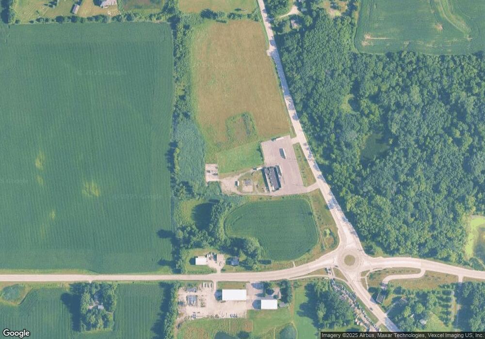
Map
Nearby Homes
- 0 Church Rd Unit MRD12107441
- 10509 Henning Dr
- 10702 Clearwater Way
- 11210 Pebble Dr
- 10705 Clearwater Way
- LOT 3 Henry St
- Lot 4 Henry St
- 10415 Henning Dr
- 10502 Henning Dr
- 10701 Clearwater Way
- 10408 Henning Dr
- 10909 Pebble Dr
- 10410 Oakdale Dr
- 10309 Ellery Ln
- 10817 Hill Crest Ln
- 15816 Cardinal Dr
- 10319 Clearwater Way
- 10304 Oakdale Dr
- 10208 Henning Dr
- 10201 Henning Dr
- 11419 S Grant Hwy
- 11419 S Grant Hwy
- 17010 Harmony Rd
- 16917 Harmony Rd
- 17009 Harmony Rd
- 16903 Harmony Rd
- 11620 S Grant Hwy
- 17119 Harmony Rd
- 17115 Millstone Ct
- 17201 Millstone Ct
- 16620 Harmony Rd
- 17205 Millstone Ct
- 17209 Millstone Ct
- 17208 Millstone Ct
- 17213 Millstone Ct
- 17104 Fieldstone Dr
- 11105 Fieldstone Dr
- 17216 Keystone Way
- 17219 Millstone Ct
- 16520 Harmony Rd