1142 Armsgate Rd Unit 180 Springfield, OH 45503
Estimated Value: $170,000 - $210,000
2
Beds
2
Baths
1,300
Sq Ft
$150/Sq Ft
Est. Value
About This Home
This home is located at 1142 Armsgate Rd Unit 180, Springfield, OH 45503 and is currently estimated at $195,579, approximately $150 per square foot. 1142 Armsgate Rd Unit 180 is a home located in Clark County with nearby schools including Rolling Hills Elementary School, Northridge Middle School, and Kenton Ridge Middle & High School.
Ownership History
Date
Name
Owned For
Owner Type
Purchase Details
Closed on
Oct 15, 1998
Sold by
Pope Scheiderer Carol and Estate Of Marie O Pope
Bought by
Ray Roberta E
Current Estimated Value
Home Financials for this Owner
Home Financials are based on the most recent Mortgage that was taken out on this home.
Original Mortgage
$89,000
Outstanding Balance
$19,284
Interest Rate
6.78%
Estimated Equity
$176,295
Purchase Details
Closed on
Mar 26, 1990
Create a Home Valuation Report for This Property
The Home Valuation Report is an in-depth analysis detailing your home's value as well as a comparison with similar homes in the area
Home Values in the Area
Average Home Value in this Area
Purchase History
| Date | Buyer | Sale Price | Title Company |
|---|---|---|---|
| Ray Roberta E | $97,000 | -- | |
| -- | $63,800 | -- |
Source: Public Records
Mortgage History
| Date | Status | Borrower | Loan Amount |
|---|---|---|---|
| Open | Ray Roberta E | $89,000 |
Source: Public Records
Tax History Compared to Growth
Tax History
| Year | Tax Paid | Tax Assessment Tax Assessment Total Assessment is a certain percentage of the fair market value that is determined by local assessors to be the total taxable value of land and additions on the property. | Land | Improvement |
|---|---|---|---|---|
| 2024 | $1,304 | $40,940 | $6,300 | $34,640 |
| 2023 | $1,304 | $40,940 | $6,300 | $34,640 |
| 2022 | $1,326 | $40,940 | $6,300 | $34,640 |
| 2021 | $1,312 | $36,050 | $5,250 | $30,800 |
| 2020 | $1,314 | $36,050 | $5,250 | $30,800 |
| 2019 | $1,340 | $36,050 | $5,250 | $30,800 |
| 2018 | $1,204 | $32,500 | $5,570 | $26,930 |
| 2017 | $1,024 | $31,010 | $5,565 | $25,445 |
| 2016 | $1,016 | $31,010 | $5,565 | $25,445 |
| 2015 | $868 | $30,695 | $5,250 | $25,445 |
| 2014 | $868 | $30,695 | $5,250 | $25,445 |
| 2013 | $866 | $30,695 | $5,250 | $25,445 |
Source: Public Records
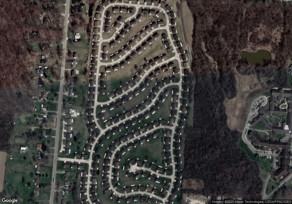
Map
Nearby Homes
- 1148 Foxboro Rd
- 3032 Armsgate Rd Unit 25
- 3029 Bradford Dr Unit 46
- 1732 Falmouth Ave
- 1162 Kingsgate Rd
- 3631 Kingsgate Ln
- 1509 Kingsgate Rd
- 1501 Kingsgate Rd
- 1225 Vester Ave
- 647 Villa Rd Unit A
- 1503 Kingsgate Rd
- 1507 Kingsgate Rd
- 1505 Kingsgate Rd
- 3229 Bristol Dr
- 542 Villa Rd
- 3129 Haverhill St
- 3307 Tackett St
- 2022 Westboro Ave
- 732 Grandview Dr Unit 732
- 2933 Bahia Dr
- 1144 Armsgate Rd Unit 181
- 1140 Armsgate Rd
- 1143 Armsgate Rd
- 1141 Armsgate Rd
- 1141 Armsgate Rd
- 1139 Foxboro Rd
- 1146 Armsgate Rd Unit 182
- 1141 Foxboro Rd
- 1141 Foxboro Rd Unit 192
- 1138 Armsgate Rd
- 1137 Foxboro Rd Unit 194
- 1147 Armsgate Rd
- 1147 Armsgate Rd Unit 144
- 1139 Armsgate Rd Unit 140
- 1143 Foxboro Rd Unit 191
- 1135 Foxboro Rd Unit 195
- 1135 Foxboro Rd
- 1148 Armsgate Rd Unit 183
- 1136 Armsgate Rd Unit 177
- 1137 Armsgate Rd