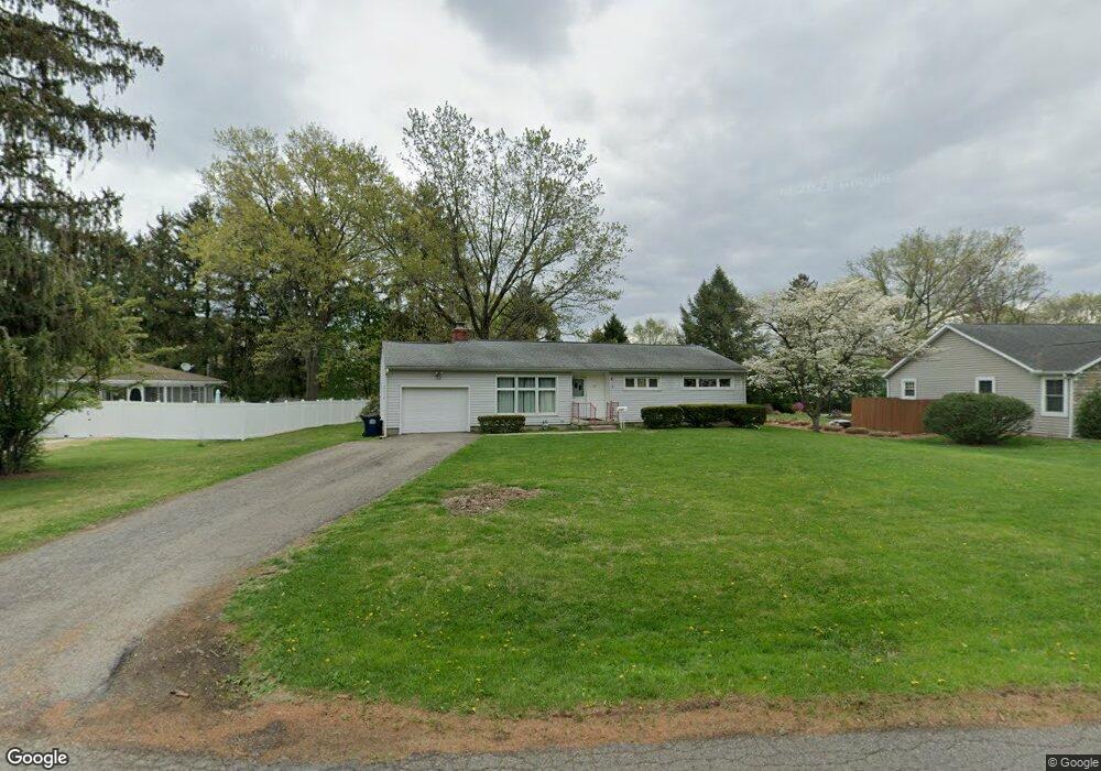
1142 Cranwood Dr Newark, OH 43055
Estimated Value: $252,000 - $273,000
3
Beds
1
Bath
1,358
Sq Ft
$190/Sq Ft
Est. Value
About This Home
This home is located at 1142 Cranwood Dr, Newark, OH 43055 and is currently estimated at $257,920, approximately $189 per square foot. 1142 Cranwood Dr is a home located in Licking County with nearby schools including John Clem Elementary School, Liberty Middle School, and Newark High School.
Ownership History
Date
Name
Owned For
Owner Type
Purchase Details
Closed on
Mar 30, 2011
Sold by
Zimmer James W and Zimmer Rebecca J
Bought by
Zimmer James W and Zimmer Rebecca J
Current Estimated Value
Purchase Details
Closed on
Feb 27, 2004
Sold by
Dickerson Gerald P
Bought by
Zimmer James W and Zimmer Rebecca J
Home Financials for this Owner
Home Financials are based on the most recent Mortgage that was taken out on this home.
Original Mortgage
$87,120
Interest Rate
5.71%
Mortgage Type
Unknown
Create a Home Valuation Report for This Property
The Home Valuation Report is an in-depth analysis detailing your home's value as well as a comparison with similar homes in the area
Home Values in the Area
Average Home Value in this Area
Purchase History
| Date | Buyer | Sale Price | Title Company |
|---|---|---|---|
| Zimmer James W | -- | Attorney | |
| Zimmer James W | $108,900 | -- |
Source: Public Records
Mortgage History
| Date | Status | Borrower | Loan Amount |
|---|---|---|---|
| Closed | Zimmer James W | $87,120 |
Source: Public Records
Tax History Compared to Growth
Tax History
| Year | Tax Paid | Tax Assessment Tax Assessment Total Assessment is a certain percentage of the fair market value that is determined by local assessors to be the total taxable value of land and additions on the property. | Land | Improvement |
|---|---|---|---|---|
| 2024 | $2,506 | $68,330 | $23,420 | $44,910 |
| 2023 | $2,502 | $68,330 | $23,420 | $44,910 |
| 2022 | $1,968 | $47,850 | $13,370 | $34,480 |
| 2021 | $2,065 | $47,850 | $13,370 | $34,480 |
| 2020 | $2,111 | $47,850 | $13,370 | $34,480 |
| 2019 | $1,829 | $39,900 | $13,370 | $26,530 |
| 2018 | $1,831 | $0 | $0 | $0 |
| 2017 | $1,778 | $0 | $0 | $0 |
| 2016 | $1,765 | $0 | $0 | $0 |
| 2015 | $1,804 | $0 | $0 | $0 |
| 2014 | $2,250 | $0 | $0 | $0 |
| 2013 | $1,715 | $0 | $0 | $0 |
Source: Public Records
Map
Nearby Homes
- 440 Reverie Place
- 473 Meadowbrook Dr
- 913 Roosevelt Ct
- 227 N Quentin Rd
- 1006 Kingsbury Ct Unit 1006
- 988 Mount Vernon Rd
- 245 Rugg Ave
- 584 Moull St Unit A
- 189 N Quentin Rd
- 181 S Quentin Rd
- 11 Waterworks Rd
- 229 Greenfield Ave
- 188 Meadow Dr
- 184 Meadow Dr
- 712 Stone Ridge Way
- 709 Meadow Dr
- 425 N 11th St
- 567 Kibler Ave
- 168 Waterworks Rd
- 711 Sherwick Rd
- 1060 Cranwood Dr Unit Newark
- 1080 Cranwood Dr
- 1038 Cranwood Dr
- 1060 Cranwood Dr
- 1130 Cranwood Dr
- 365 Pierson Blvd
- 349 Pierson Blvd
- 1137 Cranwood Dr
- 350 Stare Rd
- 393 Pierson Blvd
- 332 Stare Rd
- 1125 Cranwood Dr
- 401 Stare Rd
- 366 Pierson Blvd
- 350 Pierson Blvd
- 397 Stare Rd
- 394 Welsh View Dr
- 324 Stare Rd
- 1171 Cranwood Dr
- 395 Stare Rd