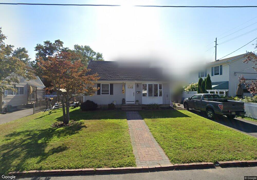
1142 Lockhart Ln Point Pleasant Boro, NJ 08742
Estimated Value: $599,000 - $766,000
4
Beds
2
Baths
2,112
Sq Ft
$312/Sq Ft
Est. Value
About This Home
This home is located at 1142 Lockhart Ln, Point Pleasant Boro, NJ 08742 and is currently estimated at $659,085, approximately $312 per square foot. 1142 Lockhart Ln is a home located in Ocean County with nearby schools including Chillicothe Primary School, Point Pleasant High School, and St. Peter School.
Ownership History
Date
Name
Owned For
Owner Type
Purchase Details
Closed on
Apr 13, 2020
Sold by
Doherty Joseph J and Doherty Mary E
Bought by
Doherty Kathleen and Doherty Brian
Current Estimated Value
Home Financials for this Owner
Home Financials are based on the most recent Mortgage that was taken out on this home.
Original Mortgage
$220,924
Outstanding Balance
$195,601
Interest Rate
3.37%
Mortgage Type
FHA
Estimated Equity
$463,484
Purchase Details
Closed on
Jun 3, 2013
Sold by
Mccann Thomas
Bought by
Doherty Joseph and Doherty Mary E
Create a Home Valuation Report for This Property
The Home Valuation Report is an in-depth analysis detailing your home's value as well as a comparison with similar homes in the area
Home Values in the Area
Average Home Value in this Area
Purchase History
| Date | Buyer | Sale Price | Title Company |
|---|---|---|---|
| Doherty Kathleen | $225,000 | Green Label Title | |
| Doherty Joseph | $200,000 | Westcorland Title Ins Co |
Source: Public Records
Mortgage History
| Date | Status | Borrower | Loan Amount |
|---|---|---|---|
| Open | Doherty Kathleen | $220,924 |
Source: Public Records
Tax History Compared to Growth
Tax History
| Year | Tax Paid | Tax Assessment Tax Assessment Total Assessment is a certain percentage of the fair market value that is determined by local assessors to be the total taxable value of land and additions on the property. | Land | Improvement |
|---|---|---|---|---|
| 2025 | $6,230 | $272,400 | $185,200 | $87,200 |
| 2024 | $5,955 | $272,400 | $185,200 | $87,200 |
| 2023 | $5,832 | $272,400 | $185,200 | $87,200 |
| 2022 | $5,832 | $272,400 | $185,200 | $87,200 |
| 2021 | $5,742 | $272,400 | $185,200 | $87,200 |
| 2020 | $5,682 | $272,400 | $185,200 | $87,200 |
| 2019 | $5,606 | $272,400 | $185,200 | $87,200 |
| 2018 | $5,440 | $272,400 | $185,200 | $87,200 |
| 2017 | $5,320 | $272,400 | $185,200 | $87,200 |
| 2016 | $5,279 | $272,400 | $185,200 | $87,200 |
| 2015 | $5,216 | $272,400 | $185,200 | $87,200 |
| 2014 | $5,097 | $272,400 | $185,200 | $87,200 |
Source: Public Records
Map
Nearby Homes
- 2001 Veterans Memorial Dr
- 1215 Johnson Ave
- 713 Beaver Dam Rd
- 909 Ocean Rd Unit 4
- 804 Clark St
- 207 River Ave
- 103 River Ave
- 842 Arnold Ave Unit 2
- 842 Arnold Ave Unit 3
- 818 Atlantic Ave
- 845 Arnold Ave Unit 3
- 1001 Patterson Rd
- 519 Curtis Ave
- 704 Forman Ave
- 3000 River Rd Unit 3000 & 3000A
- 2821 Herbertsville Rd
- 800 Grove St
- 1301 Bay Ave
- 1501 Hulse Rd Unit 3
- 1501 Hulse Rd Unit 22
- 1140 Lockhart Ln
- 1123 Front St
- 1138 Lockhart Ln
- 1117 Front St
- 1141 Lockhart Ln
- 1125 Front St
- 1137 Lockhart Ln
- 1146 Lockhart Ln
- 1136 Lockhart Ln
- 1120 Front St
- 1118 Front St
- 1136 Lawrence Ave
- 1127 Front St
- 1128 Lawrence Ave
- 1148 Lockhart Ln
- 1115 Front St
- 1130 Lawrence Ave
- 1138 Lawrence Ave
- 1111 Front St
- 1147 Lockhart Ln